Directions
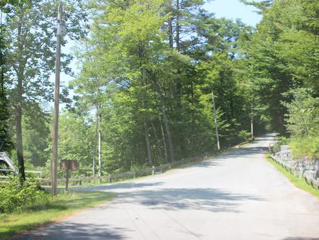
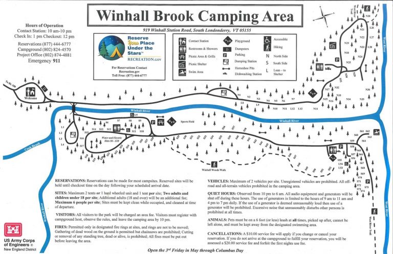
From Brattleboro, Vermont, travel 30 miles north on Route 30. Turn north onto Route 100 and continue for 2.5 miles. Turn onto to Winhall Station Road and follow for a mile to the campground. From Manchester, Vermont, travel 5 miles east on Route 11. Turn right onto Route 30 S continue for 9 miles. Turn left onto Route 100 N and continue for 2.5 miles. Turn right onto WInhall Station Road and follow for a mile to the camgpground.
Phone
802-824-4570
Activities
BIKING, CAMPING, INTERPRETIVE PROGRAMS, FISHING, HIKING, WILDLIFE VIEWING, SWIMMING SITE, SWIMMING, MOUNTAIN BIKING, WATER ACTIVITIES, STAR GAZING, BIRDING, CROSS COUNTRY SKIING, EVENING PROGRAMS, GUIDED INTERPRETIVE WALKS, EDUCATIONAL PROGRAMS, TUBING, SNOWSHOEING
Keywords
BALM,BALL MOUNTAIN
Related Link(s)
Overview
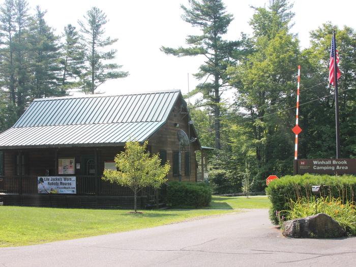
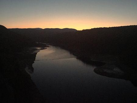
Winhall Brook Camping Area is nestled in the Green Mountains of Vermont along Winhall Brook and the West River, seven miles from Ball Mountain Lake. The campground has strong appeal to the outdoorsman at heart, offering hiking, biking and fishing opportunities in a beautiful natural setting.
Recreation
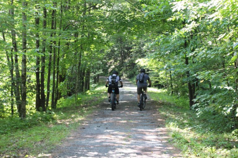
The campground offers several waterways in which to fish and play. The West River and Winhall Brook are home to brook, rainbow and brown trout. Hiking and biking are popular summer activities with cross country skiing and snowshoeing in the winter. The West River Trail stretches 16 miles along parts of the long-since-abandoned West River Railroad, providing a safe and scenic route for hiking, biking and cross country skiing in the winter months. The trail connects the villages of South Londonderry, Jamaica and Townshend. Ball Mountain Lake is nearby with fishing, boating, hiking and scenic overlooks. You can access the lake at our car-top boat launch which also provides shore fishing access. Hiking trails offer great views of Angel Falls to the north and Hamilton Falls to the south along the West River Trail. Water is released from the dam to create whitewater opportunities for rafting and kayaking the first weekend in May and the last weekend in September.
Facilities
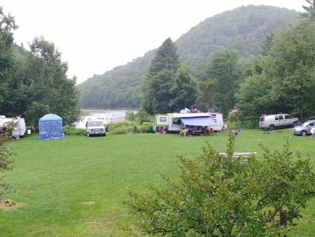
Winhall Brook offers a total of 111 campsites; 14 are lean-to shelters and 23 have electric and water hookups. Flush toilets, showers, drinking water and dump stations are provided. Campers enjoy the park’s three playgrounds, four horseshoe pits, one basketball court and one volleyball court.
Natural Features
Winhall Brook consists of broad grassy meadows surrounded by heavily wooded areas. The campground lies among a beautiful northern hardwood forest, which provides outstanding fall color and wildlife habitat. Visitors enjoy catching glimpses of the region’s wildlife which may include moose, white-tailed deer, black bear, bald eagles, owls, osprey, woodpeckers and a wide variety of songbirds.

