
Directions
Take State Highway 12 to Randle, Washington. Follow State Highway 131 to the fork and and stay left onto Forest Road 23. Follow Forest Road 23 beyond North Fork Campground to Blue Lake Creek.
Phone
541-338-7869
Activities
BIKING, CAMPING, FISHING, HIKING, HUNTING
Keywords
BCRE,GIFFORD PINCHOT NF – FS
Related Link(s)
Washington State Road Conditions
Overview
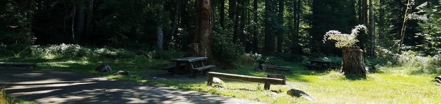
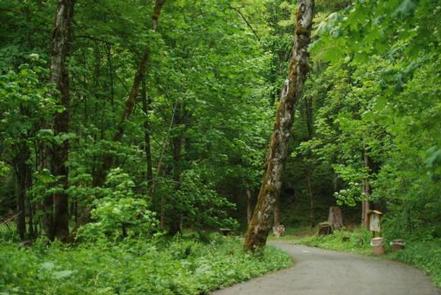
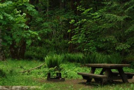
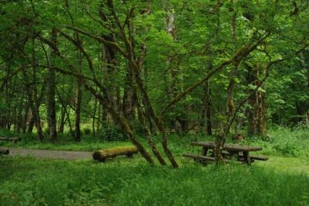
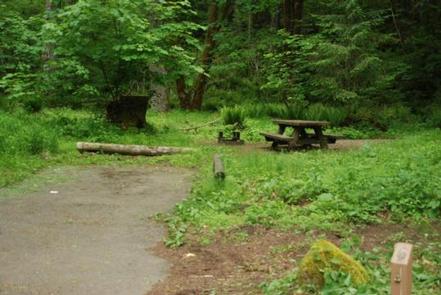
In a well-shaded location among maple trees and ferns, Blue Lake Creek Campground offers open, grassy spaces with sites that can accommodate both tents and RVs with a small brook that babbles through the campground.
Both Blue Lake and the Cispus River can be reached from multi-use trails leaving the campground, making this location popular among hikers, mountain bikers and OHV riders.
Recreation
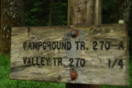
There is direct access to the Valley Trail, which is used by OHV riders, mountain bikers, hikers and horseback riders. Valley Trail offers a network of over 50 miles of OHV trails.
The shorter High Log Trail is only open to foot traffic and connects with the Cispus River, where fishing and other water activities abound.
Hikers looking to explore the stunning scenery of Blue Lake, can take the Valley Trail #270 to the Blue Lake Trail, which leads visitors on a trek of moderate difficulty to Blue Lake, where fishing and beautiful mountain landscapes await.
Facilities
The campground consists of 11 back in sites with paved parking spurs that vary from 20 to 30 feet in length. Due to its popularity among OHV riders, Blue Lake Creek can become noisy when trail bikes come and go.
Minimal privacy is provided between sites. Hookups and drinking water are not available at this facility, however there are picnic tables, grills and vault toilets available on site.
Natural Features
Located in southwest Washington State, the Gifford Pinchot National Forest encompasses over 1.3 million acres, including the 110,000-acre Mount St. Helens National Volcanic Monument established by Congress in 1982.
Blue Lake Creek Campground is located in the Cowlitz Valley Ranger District, which is in the northernmost portion of the Gifford Pinchot National Forest.
This Ranger District manages four Wilderness Areas including the Goat Rocks Wilderness, Glacier View Wilderness, Tatoosh Wilderness and William O Douglass Wilderness.
The Cispus River runs nearby the campground and can be accessed via a short hike. Blue Lake, a small mountain lake with beautiful turquoise waters, can also be reached by via a trail leaving the campground.