

Directions
From I-35 in Hillsboro, take Hwy 22 west 12 miles to Whitney, continue 7 miles past Whitney, and turn right before dam. Follow park road to 4-way stop. Turn left for West Lofers or right for East Lofers.
Phone
254-622-3332
Activities
CAMPING, SWIMMING SITE
Keywords
LOFW,WHITNEY LAKE,LAKE WHITNEY,WEST LOFERS BEND,LOFERS BEND EAST,EAST LOFERS BEND,LOFERS BEND,WHITNEY LAKE
Related Link(s)
Overview
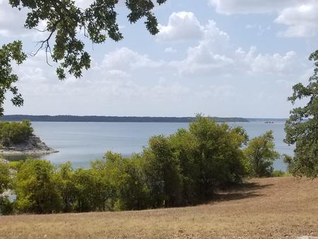
Lofers Bend West Campground is located on Whitney Lake on the Brazos River in Central Texas. Over two million people visit Whitney Lake each year to enjoy the plethora of recreational activities and scenic beauty the lake provides.
Recreation
Boating, fishing, swimming, canoeing and kayaking are popular activities at Whitney Lake. Anglers can fish for a variety of bass, crappie and catfish.
Facilities
The campground offers 51 family sites, one group site, and one day-use group picnic shelter with water and electric hookups. 23 non-electric sites are available, many of which have water hookups. Amenities include flush toilets, showers, drinking water, a boat ramp and playground.
Natural Features
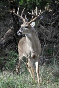
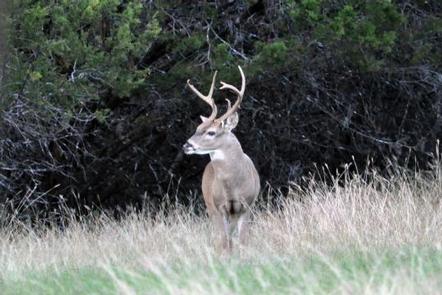
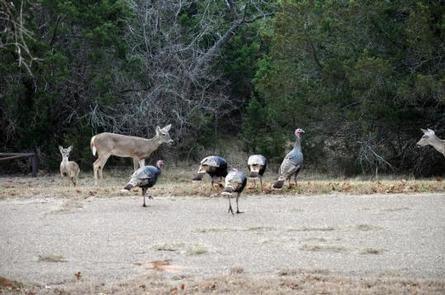
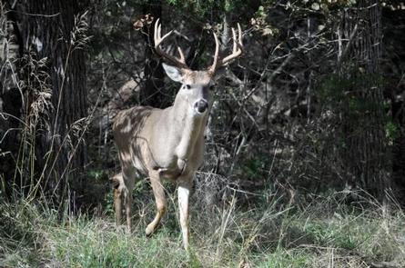
The park is situated on the lakeshore among rolling hills covered with cedar, Live and Post oak. Many deer like to enjoy their stay at Lofers West along with the racoons and foxes.
Nearby Attractions
The 12.5 mile Hopewell Trail is nearby. It allows hiking, mountain biking, and horseback riding. Visitors can choose to travel north on the trail to Kimball Bend Park, or south to Lakeside Village and Powelldale Mountain.