
Directions
From Sullivan, Illinois, go west on State Route 121 for 5 miles. Turn left on County Road 5 and drive 3.5 miles, then make a right on County Road 18 and drive 0.75 miles to the campground.
Phone
217-774-3951
Activities
BOATING, CAMPING, FISHING, SWIMMING SITE
Keywords
WCGC,LAKE SHELBYVILLE,WILBORN CREEK GROUP CAMP,LAKE SHELBYVILLE
Related Link(s)
Illinois State Road Conditions
Overview
Wilborn Creek Group Camp sits on the northern shore of Lake Shelbyville in the heart of central Illinois.
The lake and surrounding land offer outdoor activities for people of all ages, including fishing, swimming, picnicking and simply relaxing.
Recreation
Lake Shelbyville offers a multitude of fishing opportunities for catfish, crappie, largemouth bass, muskie, walleye, white bass and bluegill.
A boat ramp, courtesy dock and fish cleaning station are about a mile from the group camp, and for those without a boat, several ponds with farmed fish are available around the lake.
Hunting areas located within a short drive offer numerous game species, including quail, rabbit, pheasant, deer, dove, turkey, waterfowl and woodcock.
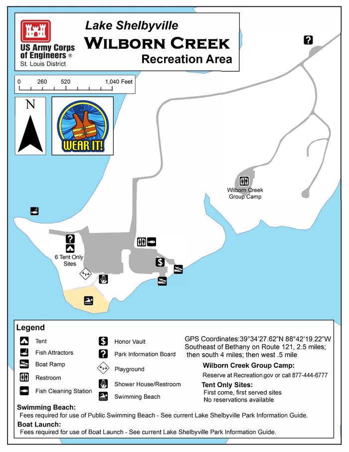
Facilities
The group camping area has 10 paved full hook-up sites. Each site offers 50 Amp service along with water and sewer. The area also has several picnic tables and grills to accommodate those who wish to tent camp. The facility has one dual, unisex shower facility with flush toilets.
A volleyball court, playground and nearby swimming beach offer additional recreation opportunities for guests.
Natural Features
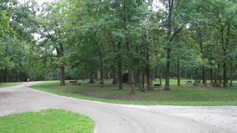
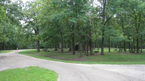
Wilborn Creek is heavily forested with plenty of shade. Oak and hickory are the dominant tree species in the lake region.
Foliage turns a variety of red, orange, purple and yellow each fall, while prairie flowers dot the landscape in spring and summer.
Numerous species of songbirds, shorebirds, waterfowl and raptors inhabit the lake area, as do mammals such as cottontail rabbit, white-tail deer, gray and fox squirrel, muskrat and mink.
Nearby Attractions
Wolf Creek State Park, Woods Lake Waterfowl Refuge and Okaw Bluff Wetlands Complex are popular locations for wildlife watching, birding and hunting near Lake Shelbyville.