MOOSE LAKE, WI Campground Reservation, Info, Images, Map, Directions

MOOSE LAKE, Wisconsin Campground Images, Info & Reservations

Directions

From Hayward, Wisconsin, drive east on State Highway 77 about 28 miles. Turn right onto Forest Service Road 174 and continue about a mile, then turn right onto Forest Service Road 176. After about 5 miles turn right again and drive less than 2 miles to the campground.

Phone

(715) 634-4821 OR (715) 264-2511

Activities

CAMPING

Keywords

MOOL,CHEQUAMEGON-NICOLET NF – FS

Related Link(s)

Rec Area Info & Images

Overview

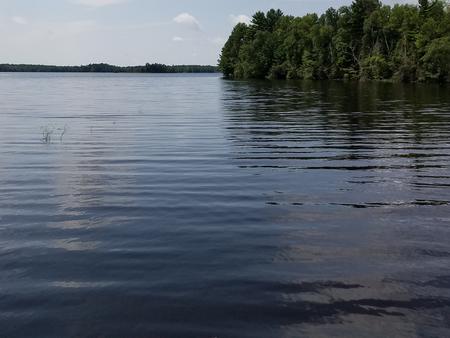
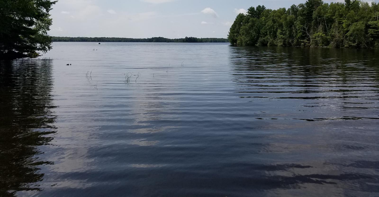
Moose Lake Campground sits along its namesake lake in the Chequamegon National Forest of northern Wisconsin. The serene lake and surrounding forest offer a spectacular location for families to enjoy nature.

Recreation

The location provides access to a variety of activities, including miles of off-road vehicle, hiking and mountain biking trails.

Anglers will find an abundance of musky, walleye, bass and pan fish in the lake, and the clear water is ideal for kayaking, canoeing and swimming. A sandy beach and a boat ramp provide convenient lake access.

Facilities

This small and semi-secluded campground offers about 15 single-family campsites for tent and RV camping.

Each site is equipped with tables and campfire rings with grills. Accessible vault toilets, drinking water and trash collection are provided. Roads into the campground are not paved and the parking aprons are grass and gravel.

Natural Features

Chequamegon National Forest offers 845,000 acres dotted with countless lakes, rivers and streams. Pine, spruce, maple, aspen, and balsam forests, as well as extensive jack pine plantations, make up the lush landscape.

Moose Lake is a 1,670-acre body of water that is popular for fishing, boating and swimming. Elk, eagles, loons and other wildlife are often viewed in and near the campground.

Reservation

More from CampingHiking.net:

OCRACOKE CAMPGROUND, North Carolina Campground Images, Info & Reservations

Directions The campground is located off North Carolina Route 12, three miles east of Ocracoke Village and ten miles west of Hatteras inlet ferry terminal. Phone 252-928-6671 Activities BOATING, CAMPING, FISHING, VISITOR CENTER, SWIMMING SITE Keywords CG04,OCRACOKE Campground,Cape Hatteras National Campgrounds,OCRACOKE,OCRACOKE Related Link(s) Rec Area Info & Images North Carolina

Aitch Picnic Shelter, Pennsylvania Campground Images, Info & Reservations

Directions Aitch is located near the town of Marklesburg, PA. From Huntingdon continue 10.5 miles southbound along Rt. 26 to Marklesburg. At Markelsburg turn left onto Aitch Road (marked by sign). Aitch Road leads directly to the Shelter location (0.8 miles). Phone 814-658-3405 Activities BOATING, HISTORIC & CULTURAL SITE, CAMPING,

CULTUS CORRAL HORSE CAMP, Oregon Campground Images, Info & Reservations

Directions From Bend, OR: Travel about 46 miles southwest on Cascade Lakes Highway (46); take a right onto Forest Road 4635 and travel about a mile; take a right onto Forest Road 4630. The campground is near the end of the road. Phone 541-323-1746 Activities CAMPING Keywords Related Link(s) Rec

WINFIELD, Georgia Campground Images, Info & Reservations

Directions From I-20, take Exit 175 (HWY 150) north 7 miles to campground sign. Turn left onto Mistletoe Road, go 2 miles and turn left onto Winfield Road. Campground is at the end of the road. Phone 706-541-0147 Activities BOATING, CAMPING, FISHING, HUNTING, WATER SPORTS Keywords WINF,J STROM THURMOND LAKE

LEWIS CANYON, Arizona Campground Images, Info & Reservations

Directions Drive to Pinedale, Arizona, on State Highway 260, approximately 14 miles northwest of Show Low. Turn south on Forest Road 130 and continue approximately 2.3 miles to Junction 130A. Turn right to the group site, following the signs.  Phone 928-368-2100 Activities BIKING, CAMPING, HIKING Keywords LEWI,APACHE-SITGREAVES NF-FS Related Link(s)