
Directions
From Medford, travel north on State Highway 13 for 4 miles, then turn left (west) onto County Road M and continue for 7 miles. Turn right (north) onto County Highway E and continue about 8 miles, then turn right (east) onto Forest Service Road 1563 and continue for about 1 mile. Turn right (east) onto Forest Service Road 106 and look for the campground entrance sign at the top of the hill.
Phone
715-748-4875
Activities
BIKING, BOATING, CAMPING, FISHING, HIKING, WILDLIFE VIEWING, SWIMMING SITE, OTHER RECREATION CONCESSION SITE
Keywords
SPHP,CHEQUAMEGON-NICOLET NF – FS
Related Link(s)
Wisconsin State Road Conditions
Overview
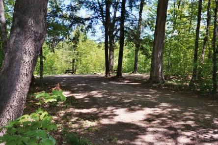
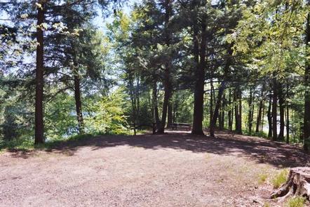
Spearhead Point Campground is one of the most popular campgrounds on the scenic Mondeaux Flowage. Unique family-oriented campsites and access to panoramic views of the lake are unprecedented elsewhere in the forest. The campground provides numerous opportunities for recreation and enjoyment of the surrounding area.
Recreation
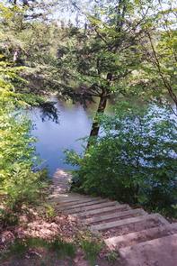
Boating, swimming and fishing are popular activities. Anglers can expect to find a variety of species, including pike, largemouth bass and bluegill. Boats with and without motors are allowed on the lake, however the lake is quite shallow in some areas. A portion of the Ice Age National Scenic Trail is easily accessed from the campground. The trail is open to hiking and wanders 1,200 miles along the edge of a historic glacier that once covered the state of Wisconsin and much of North America.
Facilities
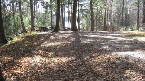
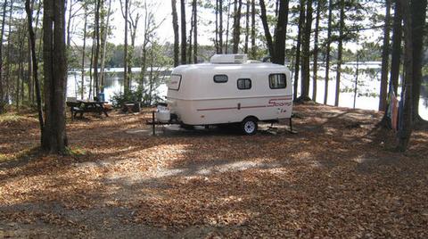
The campground offers many single-family sites for tent and RV camping. Some sites are available on a first-come, first-served basis. No hookups are available. Each site is equipped with a table and campfire ring with grill. Accessible vault toilets and drinking water are provided.
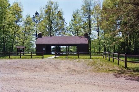
A concession stand, coin-operated showers, a boat ramp and pay phone are available at the nearby Mondeaux Picnic Area. Some campsites have small docks which can be used for fishing or landing a boat.
Natural Features
The campground is located within the Chequamegon-Nicolet National Forest in northern Wisconsin at an elevation of 1,140 feet. Shady sites are nestled along the shore of 411-acre Mondeaux Flowage.
Nearby Attractions
The city of Westboro is about 10 miles from the campground.