
Directions
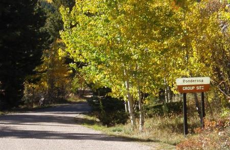
From Pueblo, go 25 miles south on I-25 to exit 74. Go west 18 miles on state Highway 165. Turn into the south entrance at Lake Isabel and drive 1 mile. Look for Ponderosa Group campground signs.
Phone
FOR RESERVATIONS CALL (877) 444-6777, FOR OTHER, NON REAL TIME INFORMATION, CALL (719) 369-8500.
Activities
CAMPING, FISHING, HIKING
Keywords
LAPO,CISNEROS,PIKE AND SAN ISABEL NF- FS
Related Link(s)
Colorado State Road Conditions
Overview
Ponderosa Group Campground, located near the sparkling 40-acre Lake Isabel, beckons large groups for picnicking and camping in the Lake Isabel Recreation Area.
The campground accommodates 60 guests for overnight camping. Visitors can enjoy entertainment like volleyball and horseshoes, or head to the lake for canoeing and fishing.
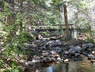
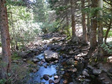
Lake Isabel is one of the few lakes in Colorado developed solely for recreational purposes. Built by the Civilian Conservation Corps, the lake attracts many campers who come to hike, canoe, fish and spend time bird watching. St. Charles Creek flows near the campground and offers additional fishing opportunities.
Recreation
Kayaking, canoeing and fishing are popular in Lake Isabel. Brown and brook trout are stocked in the lake and the St. Charles headwaters reap brook trout.
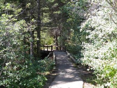
Guests can enjoy hiking, bicycling or motorcycling on either the Snow Slide Trail or Cisneros Trail. The 15-mile Cisneros Trail, also open to ATV riders, leads to the heart of the Wet Mountains, through forests and open, wildflower-speckled valleys. Along the way, the trail connects to St. Charles Trail, which heads to St. Charles Peak.
Facilities
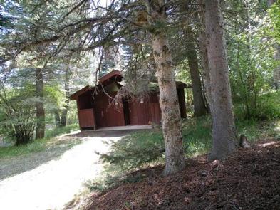
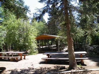
The group campground has a picnic shelter that seats 25 to 30 people, a group-sized charcoal grill and eight single-site campfire rings. A horseshoe pit, volleyball court, vault toilets, drinking water from a hand pump and dumpsters are provided.
Natural Features
Shady pine and aspen trees are scattered throughout the campground. The shoreline of Lake Isabel meets the rocky base of sweeping mountains at an elevation of 8,600 feet. At 8,600 feet the area enjoys cool summer days, a welcome relief from the heat in the plains far below.
The Pike and San Isabel National Forest includes over a million acres of wilderness and over half of Colorado’s mountain peaks that reach above 14,000 feet.
Nearby Attractions
The Frontier Pathways Scenic Byway is a great route to explore and snap photos.
A nearby lodge offers paddle and rowboat rentals, groceries and a restaurant. Golf courses are about 15 minutes away.