

Directions
From Alamosa, CO, go west on Highway 160 to South Fork. Take Highway 149 southwest through Creede and continue on Highway 149 for about 20 miles to milepost 41 (Forest Road 520) and Rio Grande Reservoir Road. Travel about 10 miles on this gravel road to the campground.
Phone
719-658-0829
Activities
BIKING, BOATING, CLIMBING, CAMPING, INTERPRETIVE PROGRAMS, FISHING, HIKING
Keywords
RIVH,Riverhill,RIO GRANDE NF- FS
Related Link(s)
Colorado State Road Conditions
Overview
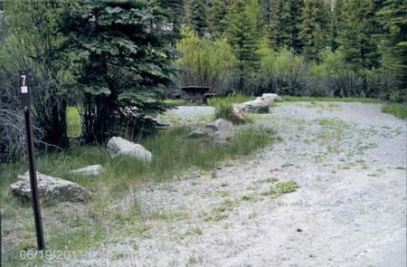
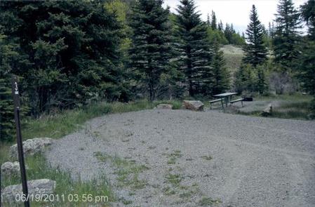
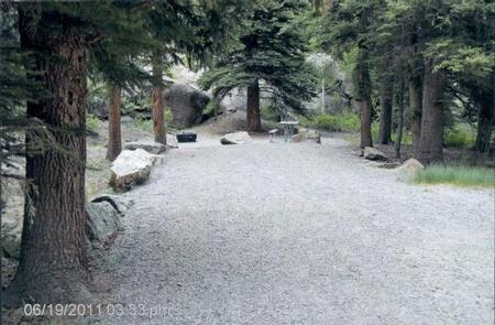
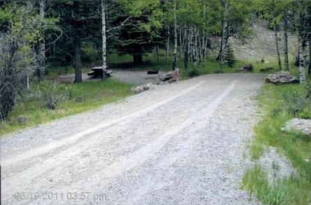
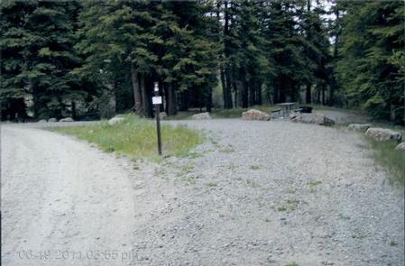
River Hill is a popular campground on the banks of the Rio Grande River. Situated in a meadow surrounded by willows, campers come here to fish for trout, hunt and take in the beautiful views of the forested hills and rock bluffs. River kayaking and fishing are also popular activities, and the Rio Grande Reservoir is just a couple miles away.
Recreation
Go rock climbing or horse packing in the San Juan mountains, or fish in the river, Squaw Creek or nearby Rio Grande Reservoir. Two trailheads, Squaw Creek and Weminuche Creek, lead hikers into the Weminuche Wilderness and link to the Continental Divide National Scenic Trail.
Facilities
The campground features a campfire educational program on some weekend nights. Drinking water from wells is provided and garbage cans are are provided. Vault toilets are on-site.
Natural Features
The campground lies in a meadow under the shade of many trees at an elevation of 9,200 feet. The Rio Grande National Forest spans 1.86 million acres in south-central Colorado. The Continental Divide runs for 236 miles along most of the forest’s western border, presenting a myriad of ecosystems from alpine desert to dense wilderness.
Across from the campground is the Weminuche Wilderness, the largest wilderness area in Colorado. It’s a famously rugged region with three mountain peaks reaching over 14,000 feet.