
Directions
Seven Points is located near the town of Hesston, PA. From Huntingdon continue 8 miles southbound along Rt. 26 to the yellow blinking light. Turn left at the light towards Seven Points (marked by large sign). Continue over the ridges until you reach the Seven Points Recreation Area (3 miles) and continue into the park, watching for signs to find each shelter.
Phone
814-658-3405
Activities
BOATING, HISTORIC & CULTURAL SITE, CAMPING, FISHING, HUNTING, DAY USE AREA, SWIMMING SITE
Keywords
Dogwood Shelter,Howard Miller Pincic Area,Dogwood
Related Link(s)
Pennsylvania State Road Conditions
Overview
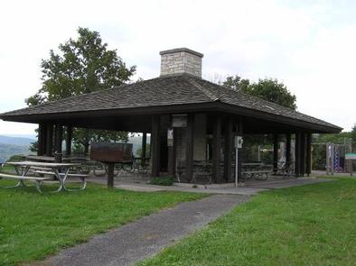
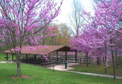
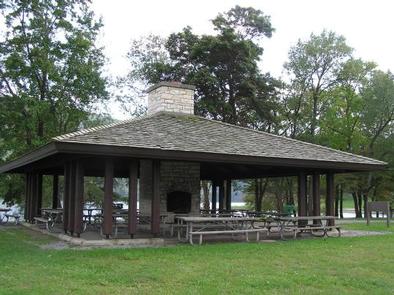
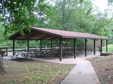
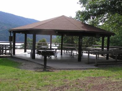
There are five picnic shelters located within the Seven Points Recreation Area at Raystown Lake. They include Allegheny, Dogwood, Oak, Pine and Redbud Shelters. Each of the shelters has picnic tables, electricity and are accessible. The Seven Points Recreation Area is easily reached off US Route 26 and is located near Huntingdon, PA.
Recreation
All of these shelters include an adjacent playground and horseshoe courts. Included inside Seven Points is a public beach for swimming, making these shelters a popular place for family picnics or birthday parties. A boat ramp within the facility provides access to the 8,300-acre Raystown Lake, which is popular for boating, camping, swimming and fishing.
Facilities
Each of the five shelters include approximately eight picnic tables and 20-amp electrical outlets. They are fully accessible and comfortably accommodate up to 80 people.
Natural Features
Each of the shelters is unique in its view and location. Allegheny sits atop a hill overlooking Raystown Lake and offers one of the best views of the lake looking southward. Dogwood and Redbud sit near one another with a sand volleyball court nearby. Oak sits along the shoreline near the beach. Pine is located near the Visitors Center and all of its facilities. All of the shelters offer nearby access to the beach and lakeshore making them great places to picnic, swim and boat.
Nearby Attractions
Within Seven Points are attractions like the Seven Points Beach, the Seven Points Marina, the Greenside Pathway, and the Allegrippis Trails and Mountain Bike Skills Park. Not too far away are areas that include Aitch Boat Launch, James Creek Boat Launch, Tatman Run Recreation Area, Lake Raystown Resort and downtown Huntingdon, PA.