
Directions
From Highway 140, turn on to Foresta Road. Landmarks include Red Bud Picnic Area and a National Park Service warehouse. After bridge, turn left onto the spur road. Immediately turn left onto Incline Road. Continue 1.5 miles to the facility.
Phone
559-642-3212
Activities
CAMPING
Keywords
DIRT,EL PORTAL,SIERRA NF – FS
Related Link(s)
California State Road Conditions
Overview
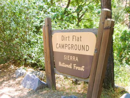
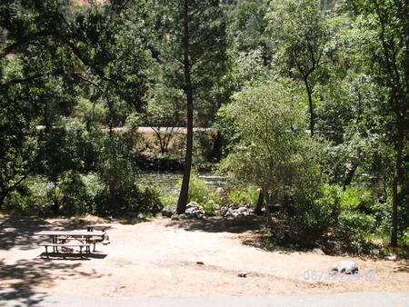
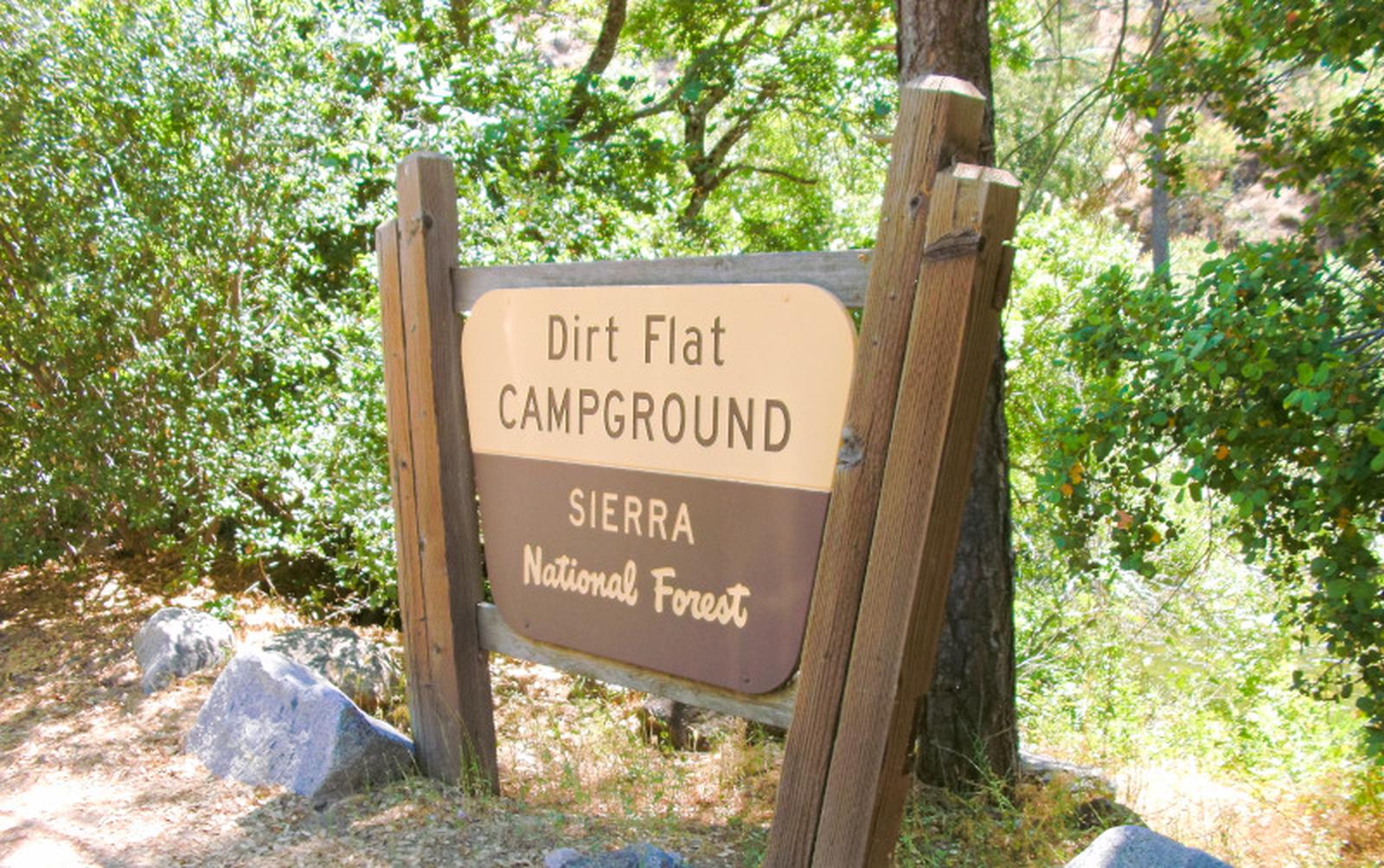
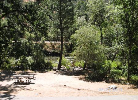
Dirt Flat campground is situated on the north side of the Merced River. This small camp features walk-in tent sites on the river. The remote locates of the site makes for a quiet and peaceful camping experience.
Recreation
During the spring and early summer, the Merced River is a popular location for white water rafting and kayaking. Several private companies offer guided rafting trips.
Facilities
The campsites at Dirt Flat meet accessibility standards and offer picnic tables, grills and fire rings. Vault toilets are available.
Natural Features
The Sierra National Forest, located on the western slope of the central Sierra Nevada, is known for its spectacular mountain scenery and abundant natural resources.
The terrain includes rolling, oak-covered foothills, heavily forested middle elevation slopes and the starkly beautiful alpine landscape of the High Sierra.
Nearby Attractions
This campground is close to the west entrance to Yosemite National Park. Yosemite offers a variety of activities that include scenic driving, picnicking, hiking and fishing.