

Directions
Take PA-6 to PA-62 South. Take the first right onto National Forge Road, then the first left into the campground. If coming up PA-62 from the south, cross the Allegheny River north of Tidioute and take the first left onto National Forge Road, then the first left into the campground.
Phone
814-368-4158 (ALLEGHENY SITE MANAGEMENT, CAMPGROUND CONCESSIONAIRE)
Activities
BOATING, CAMPING, FISHING, DAY USE AREA, KAYAKING, CANOEING
Keywords
BUCA,BUCK,LOONS,SENECA,IRVINE RUN,BROKENSTRAW,ALLEGHENY NF – FS
Related Link(s)
Pennsylvania State Road Conditions
Overview
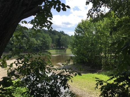
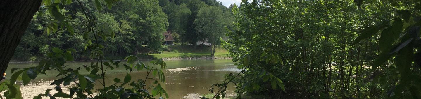
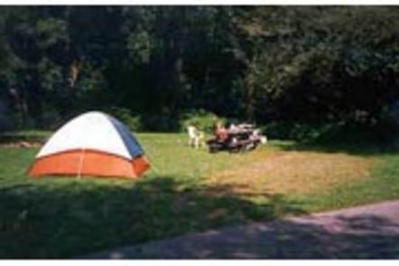
Buckaloons Campground sits at the confluence of the Allegheny River, Brokenstraw Creek and Irvine Run in northwestern Pennsylvania. This 61-site campground offers access to the Allegheny Wild & Scenic River and opportunities for boating, fishing, wildlife watching, and relaxing in a quiet, country atmosphere.
Recreation
Water activities are a big draw to Buckaloons Recreation Area, including canoing, kayaying, rafting, and boating. The boat ramp provides easy access to the river. Buckaloons is the beginning of the second designated National Wild and Scenic RIver segment of the Allegheny River. The first segment is from Kinzua Dam to the Route 6 Glade Bridge on the east side of Warren, PA. The second segment runs from Buckaloons campground to Alcorn Island just upstream of Oil City, PA, a distance of nearly 50 miles. In this segment are the 6 islands of the Allegheny Islands Wilderness as well as many other publicly and privately owned islands. Several public boat launches are located within this segment to help you decide on the length of trip that’s right for you. The Allegheny is a “family-friendly” river, with little to no whitewater – perfect for beginners or a lazy day of floating. Hunting, fishing, and trapping are permitted in the areas around the campground, subject to rules of the Pennsylvania Game Commission and the Pennsylvania Fish & Boat Commission. Fishing includes walleye, trout, and bass. There is also hiking along the Seneca Interpretive Trail within the campground or at nearby Anders Run Natural Area.
Facilities
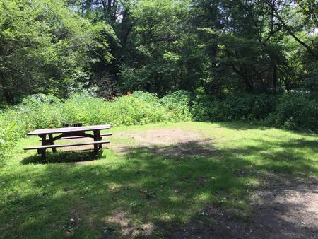
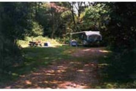
Buckaloons Recreation Area offers family campsites, double sites and a group tent site. Amenities include both flush and vault toilets, a pressurized water system, hot showers, a dump station and electric hookups.
There is a one-lane concrete boat launch, a picnic area with tables and charcoal grills, pavilion, basketball court and playground. Hardened paths lead to fishing opportunities on the Allegheny River, Brokenstraw Creek and Irvine Run.
Natural Features
Once the site of an Indian trading post, the Buckaloons Recreation Center has numerous apple trees through the area, as well as mixed hardwoods. Water-loving species such as sycamore, willow, alder, silver maple, and butternut are frequent components of the riverine forest. Blue and green herons, bald eagles, egrets, and a variety of smaller birds can be seen along the Allegheny RIver. The Allegheny is classified as a warm-water fishery, but some cold-water species thrive as well. Freshwater mussels are abundant in species and number and indicate the high water quality of this river. Deer, bear, turkey, and squirrels are common, along with a variety of smaller mammals such as raccoon, opossum, and muskrat.