
Directions
From Deer River, travel north on Highway 46 for 19 miles. Turn west on Forest Road 2190 about a half-mile past the Cut Foot Sioux Visitor Center. Continue to the campground.
Phone
218-246-2123
Activities
BIKING, BOATING, CAMPING, INTERPRETIVE PROGRAMS, FISHING, HIKING, WATER SPORTS
Keywords
MOSO,CHIPPEWA NF – FS
Related Link(s)
Minnesota State Road Conditions
Overview
Mosomo Point Campground is located between Little and Big Cut Foot Sioux Lakes in the heart of the Chippewa National Forest. Visitors enjoy the area for canoeing, trophy muskie fishing, hiking and beautiful scenery.
Recreation
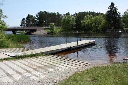
Canoeing, kayaking and fishing are very popular activities at Mosomo Point. Its protected location on the lake provides calm waters away from the big lake, making it an ideal spot for flatwater paddling.
Miles of trails in the area provide great hiking, horseback riding, mountain biking and birding opportunities. The Simpson Creek Trail and Cut Foot Sioux National Recreation Area Trail can be accessed nearby.
Cut Foot Sioux Lake is located next to Lake Winnibigoshish, which can be accessed from Cut Foot Sioux. Lake Winnie offers excellent fishing opportunities for walleye, perch and muskie. It is one of Minnesota’s premier fisheries. Boating and water skiing are popular activities.
Facilities
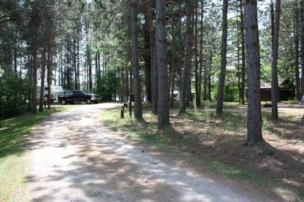
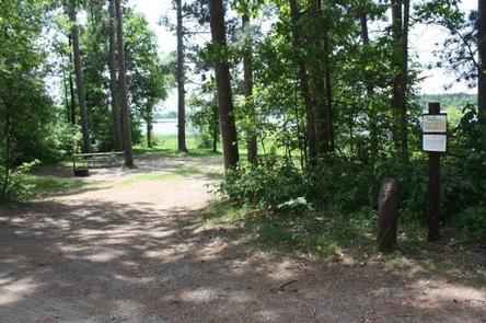
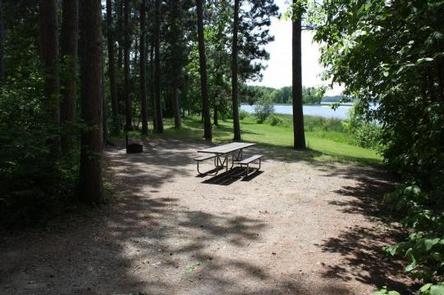
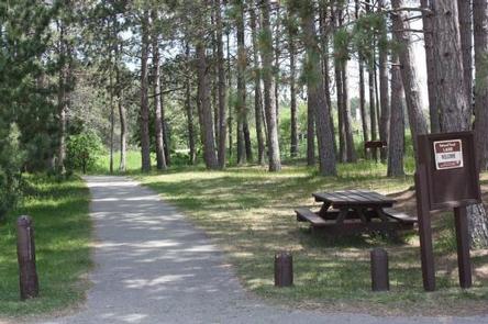
The campground offers single-family sites, each equipped with a picnic table and campfire ring. Vault toilets and hand-pumped drinking water are provided. Firewood is available for purchase from the host.
Natural Features
The campground is situated in a transitional area between Little and Big Cut Foot Sioux Lakes. The quieter cove is lined with mature red and white pine trees.
The lake is home to a variety of waterfowl and birds of prey, including loons, osprey and bald eagles.
Nearby Attractions
The Cut Foot Sioux Visitor Information Center is located a half-mile from the campground. The center offers interpretive displays, educational programs, trails and area information.
Several resorts in the area offer camping and fishing supplies, groceries and more, and can be reached by watercraft or vehicle.