PARIS SPRINGS CAMPGROUND, UT Campground Reservation, Info, Images, Map, Directions

PARIS SPRINGS CAMPGROUND, Utah Campground Images, Info & Reservations

Directions

From Paris, Idaho, and U.S. Highway 89, turn west onto County Road 421 at the sign for Paris Canyon. Continue west approximately 4 miles and take the left fork of the Y onto County Road 427. Continue one mile, to campground at the end of the road.

Phone

541-351-1182

Activities

BIKING, BOATING, CLIMBING, CAMPING, FISHING, HIKING, HORSEBACK RIDING, HUNTING, WILDLIFE VIEWING, SWIMMING SITE

Keywords

PARS,PARIS CAMPGROUND,CARIBOU-TARGHEE NF – FS

Related Link(s)

Rec Area Info & Images

Idaho State Road Conditions

Idaho State Tourism

Overview

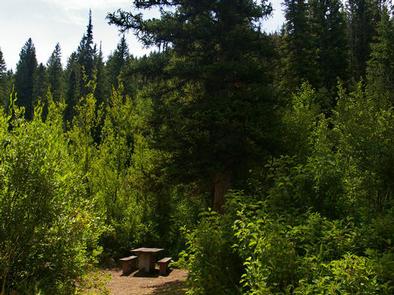
Paris Springs Campground is situated in scenic Paris Canyon, about five miles from Paris, Idaho. It is about 20 miles from Bear Lake, at an elevation of 6,600 feet. The campground gives Bear Lake visitors the opportunity to camp in a quiet area with lush vegetation.

Recreation

Paris Creek runs alongside the campground, after bubbling up from Paris Spring, which can be accessed from a 300-yard trail within the site. Campers enjoy hiking and fishing along the creek.

Facilities

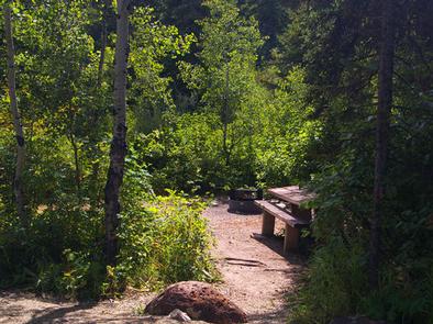
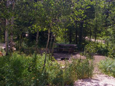
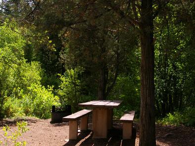
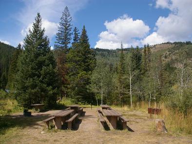
The campground contains three group sites and nine single-family campsites. Vault toilets and drinking water are provided, but there is no electricity. Roads and parking spurs within the campground are dirt.

Natural Features

A mixed conifer and aspen forest covers the campground and much of Paris Canyon. Plentiful shade can be found throughout most of the campground. Summer wildflowers dot the landscape.

Nearby Attractions

The Highline Trail, part of the National Trail System, can be accessed nearby. It is the premier trail of the Montpelier Ranger District, stretching 55 miles along the backbone of the Bear River Range. The trail is enjoyed by hikers, horseback riders, mountain bikers, motorcyclists and off-road vehicle enthusiasts from around the world.

Paris Ice Cave is also not far from the campground. Self-guided tours of the cave offer a look into an unusual cavern filled with ice year-round. The cave is not developed but a footpath leads through it.

Beautiful Bear Lake State Park is about 20 miles away, with boating, water skiing, fishing and swimming. Bear Lake’s Raspberry Days festival occurs annually the first weekend in August, with a parade, fireworks, craft booths and a rodeo.

Reservation

More from CampingHiking.net:

TOWNSHEND LAKE DAY USE AREA, Vermont Campground Images, Info & Reservations

Directions Townshend Lake is located 19 miles north of Brattleboro, Vermont, on Vermont Route 30. Phone 802-365-7703 Activities BIKING, BOATING, CAMPING, FISHING, HIKING, WINTER SPORTS, WILDLIFE VIEWING, SWIMMING SITE, SWIMMING, SNOWMOBILE, KAYAKING, CANOEING, BIRDING, CROSS COUNTRY SKIING, RAFTING, WHITEWATER RAFTING, SNOWSHOEING, SLEDDING, SNOWMOBILE TRAILS Keywords Townshend Dam Related Link(s) Rec

NARROWS (CO), Colorado Campground Images, Info & Reservations

Directions From Fort Collins, take Highway 14 northwest for 32 miles. Phone 970-295-6700 Activities BIKING, BOATING, CAMPING, FISHING, HIKING, WATER SPORTS, WILDLIFE VIEWING, MOUNTAIN BIKING, KAYAKING, CANOEING, BIRDING, RAFTING, WHITEWATER RAFTING Keywords NARS,NARROWS,LOWER NARROWS,UPPER NARROWS,ARAPAHO AND ROOSEVELT NF – FS Related Link(s) Rec Area Info & Images Colorado State Road

KACHESS, Washington Campground Images, Info & Reservations

Directions From Seattle trave east on I-90 approximately 62 miles, or from Cle Elum travel west on I-90 approximately 20 miles. Take exit 62 and follow Kachess Lake Road for 5.5 miles to the campground, which is on the right. Phone 509-852-1100 Activities BIKING, FISHING, HIKING, PICNICKING, MOTOR BOAT, KAYAKING,

OLD HIGHWAY 25, Arkansas Campground Images, Info & Reservations

Directions From Heber Springs, AR, take SR-25 6.25 miles north to SR-25S. Travel SR-25S 3 miles west and follow signs to campground. Phone 501-250-0483 Activities CAMPING, SWIMMING SITE Keywords OH25,GREERS FERRY LAKE,OLD 25,TUMBLING SHOALS,HEBER SPRINGS,GREERS FERRY LAKE Related Link(s) Rec Area Info & Images Arkansas State Road Conditions Arkansas State

COAL MINE, New Mexico Campground Images, Info & Reservations

Directions From Grants, take New Mexico State Highway 547 for 10 miles to the campground. Phone 505-287-8833 Activities CAMPING, HIKING, SCENIC DRIVE Keywords COAM,CIBOLA NF – FS Related Link(s) Rec Area Info & Images New Mexico State Tourism New Mexico State Road Conditions Overview Coal Mine Campground is situated in