
Directions
From Packwood, Washington, go 5 miles east on State Route 12 to Campground.
Phone
541-338-7869
Activities
BIKING, CAMPING, INTERPRETIVE PROGRAMS, FISHING, HIKING, WILDLIFE VIEWING, DAY USE AREA
Keywords
LAWI,WHITE PASS,PACKWOOD,MT RANIER,GIFFORD PINCHOT NF – FS,COHO
Related Link(s)
Washington State Road Conditions
Overview
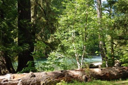
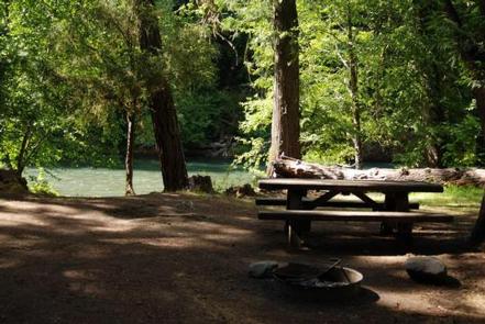
Situated at the confluence of three waterways near Mount Rainier, La Wis Wis is nestled under a canopy of towering Douglas firs and red cedars. The handful of sites that dot the riverbank enjoy the most sunshine.
With an abundance of activities nearby, La Wis Wis is a popular destination for long-stay camping. Its proximity to Mount Rainier National Park makes it an excellent base for exploring all of the area’s natural wonders.
Recreation
Hikers can easily access the Blue Hole Trail and Purcell Falls Trail from La Wis Wis.
Anglers can fish for rainbow trout, cutthroat trout and whitefish at either Butter Creek or Skate Creek.
Facilities
La Wis Wis is ideal for tents, car campers and truck campers with a slide-in. The Hatchery Loop sites can accommodate RVs, but navigation through other parts of the campground may be difficult due to narrow roadways and large trees.
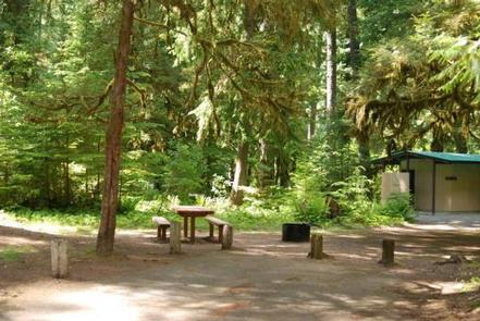
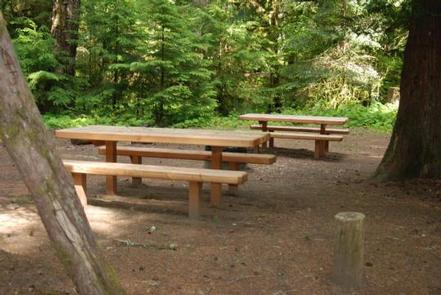
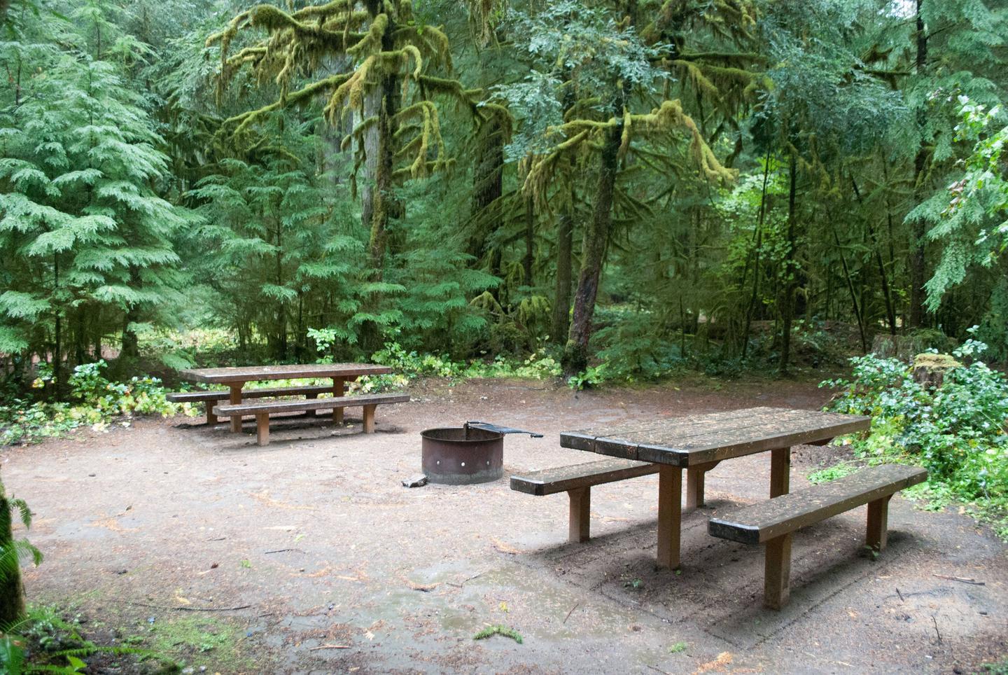
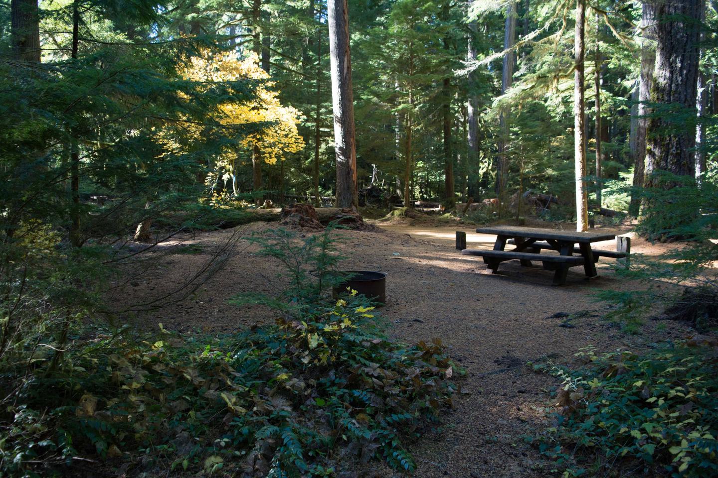
The campground features 122 sites, including walk-in tent camping. Both vault and flush toilets are available. Picnic tables, picnic shelters and grills are provided.
Drinking water is available on-site at the main part of the camp. Campers staying at the Hatchery Loop need to bring potable water or get water at the main site.
Natural Features
Located in southwest Washington State, the Gifford Pinchot National Forest encompasses 1.3 million acres and includes the 110,000-acre Mount St. Helens National Volcanic Monument, established by Congress in 1982.
La Wis Wis is located in the Tatoosh Wilderness area of the Cowlitz Valley Ranger District. The campground sits where the Ohanapecosh River, Cowlitz River and Purcell Creek meet.
The campground features old-growth forest and opportunities to observe a variety of wildlife.
Nearby Attractions
La Wis Wis is located near the entrance to Mount Rainier National Park. The popular Henry M Jackson Memorial Visitor Center at Paradise within Mount Rainier National Park is 28 miles away.
Charges & Cancellations
A $10.00 service fee will apply if you change or cancel your reservation. Late cancellations are subject to additional fees. For full details see NRRS Reservation Policy.