
Directions
In Williams, Arizona, turn south onto 4th Street (County Road 73) and drive about 5 miles to Forest Road 140. Turn left and proceed about 4 miles to Forest Road 132. Turn left and proceed 1 mile to Dogtown Campground. Forest Roads 140 and 132 are gravel roads.
Phone
928-699-1239
Activities
BIKING, BOATING, CLIMBING, CAMPING, INTERPRETIVE PROGRAMS, FISHING, HIKING, HORSEBACK RIDING, VISITOR CENTER, WILDLIFE VIEWING
Keywords
DOGT,Dogtown Lake Group Area,Dogtown Lake,Dogtown Lake Campground,Dogtown Campground,Dogtown Group Area,Dogtown,KAIBAB NF – FS
Related Link(s)
Overview
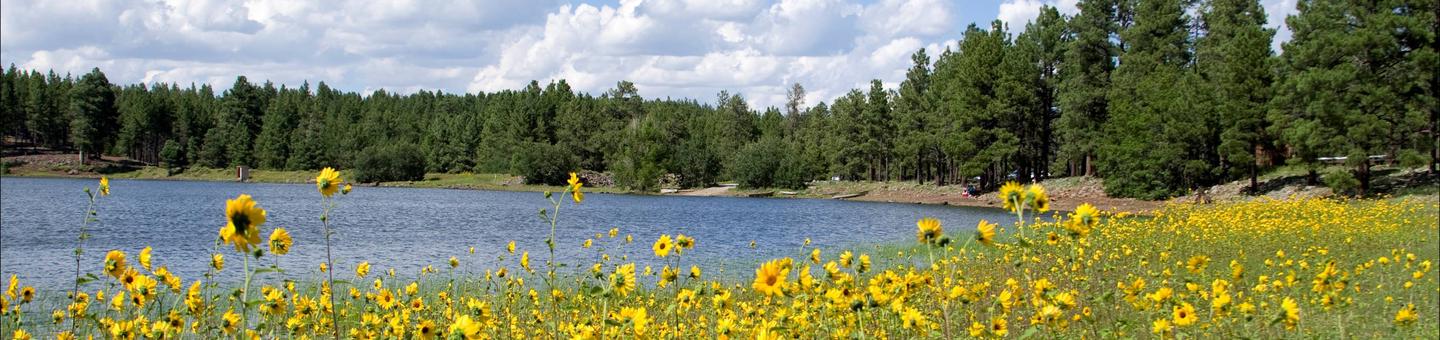
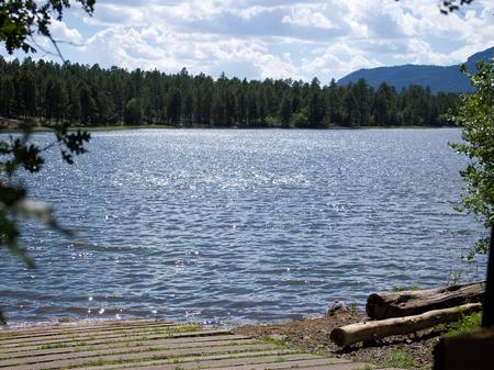
Dogtown Lake offers a scenic setting convenient to Grand Canyon National Park and the cities of Williams and Flagstaff, Arizona. The campground is situated in a pine forest along the shore of a small and scenic lake.
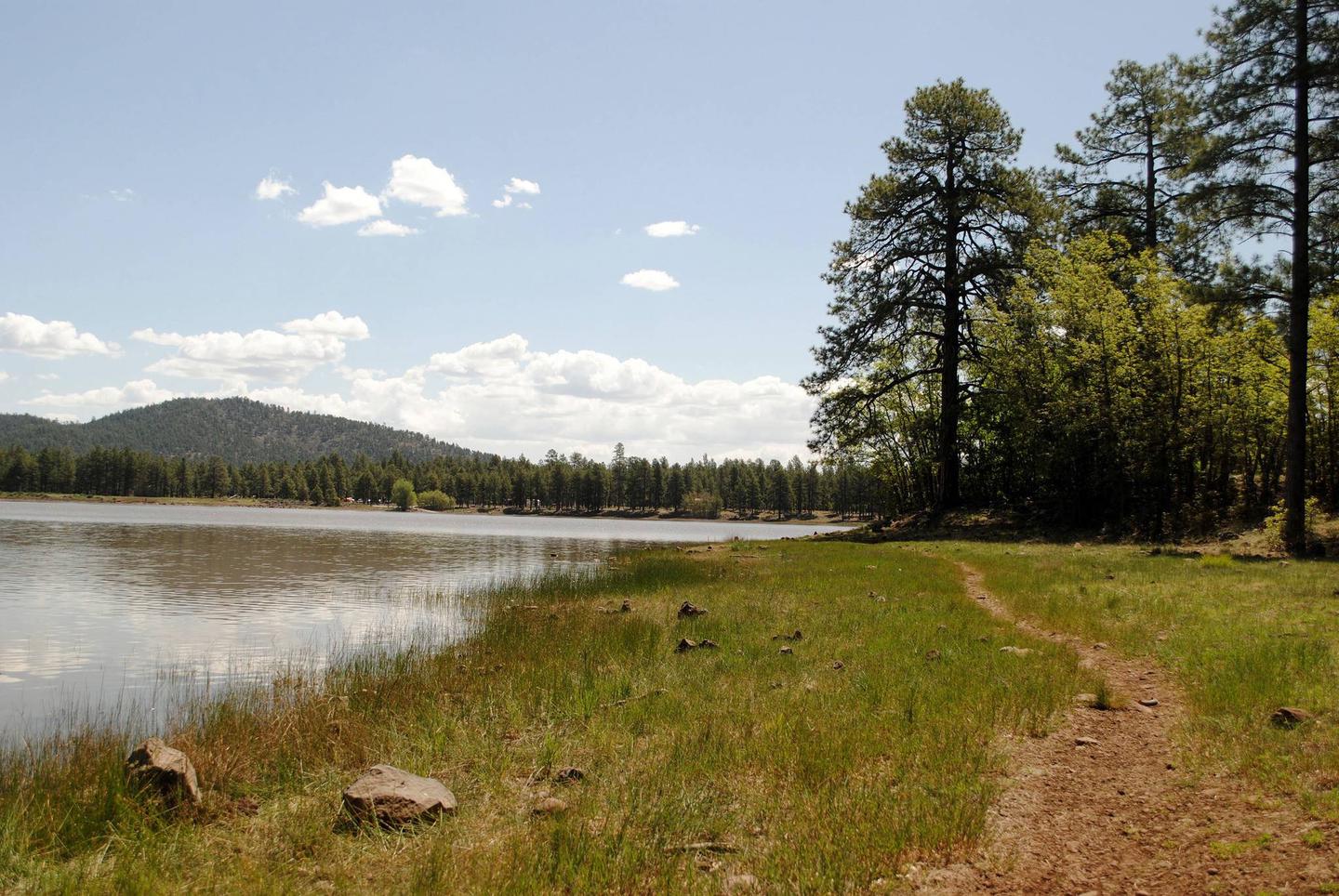
Visitors come here to hike, fish, mountain bike and explore the area’s cultural and natural history. It’s also a great place to relax and enjoy the sound of the wind in the pines and the spectacular view of nearby Bill Williams Mountain.
Recreation
Campers are drawn to the area’s hiking and fishing opportunities. The lake is stocked with trout, crappie and channel catfish. Visitors can enjoy a guided nature trail near the lake and a hiking trail that leads to a scenic overlook of the area from the top of nearby Davenport Hill.
The calm waters are inviting for canoes, kayaks and electric motorboats. Single motors of one horsepower or less are permitted.
Facilities
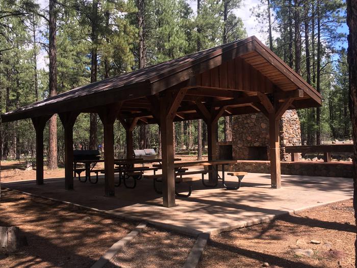
The campground offers 50 individual campsites, four double sites and one group site that can host up to 80 people overnight. All sites are accessible. The sites are level with pull-through and back-in options for RVs. Restrooms, garbage bins and water faucets are available, however, there is no dump station at the facility.
Natural Features
Kaibab National Forest is nestled on the Colorado Plateau, an area of land that was uplifted by geologic processes. Dogtown Lake sits at an elevation of 7,050 feet. The lake got its name from the extensive prairie dog "towns" that once covered open areas near the lake. In spite of the name, this medium-sized body of water is surrounded by trees.
Summer temperatures range from 50 degrees at night to 80-90 degrees during the day. Summer thunderstorms, known as the monsoon, can build up quickly, especially during July and August. Snow is common from December through March.
Nearby Attractions
Grand Canyon National Park’s South Rim is just over one hour north of the campground. The cities of Williams and Flagstaff have amenities such as shops, restaurants and cultural and historic sites.
From canyons to prairies, peaks to plateaus, Kaibab National Forest offers layers of opportunity for peace, solitude and discovery. Over 300 miles of trails, some clinging to the rims of the Grand Canyon, allow visitors to step off the beaten path into uncrowded landscapes.