

Directions
From Naches, take Highway 12 approximately 22 miles to milepost 168.5.
Phone
541-338-7869
Activities
CAMPING, FISHING, HIKING, WATER SPORTS, SWIMMING SITE
Keywords
HAUS,RIMROCK LAKE,TIETON RIVER,OKANOGAN – WENATCHEE NF -FS
Related Link(s)
Washington State Road Conditions
Overview
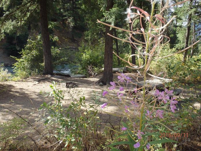
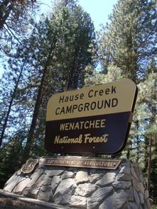
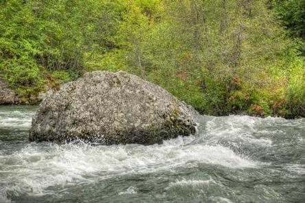
Hause Creek Campground is located along the Tieton River in the Okanogan-Wenatchee National Forest in Washington’s Northern Cascade Range.
Warm summer days and and access to a multitude of recreational activities make the campground an ideal setting for both individual and family camping excursions.
Recreation
Hause Creek Campground offers outdoor enthusiasts the opportunity to hike, fish, ski, raft and enjoy a multitude of recreational activities throughout the year.
River enthusiasts may enjoy a whitewater rafting trip on one of the many scenic rivers in the area. The Tieton River is especially exciting in September when the Bureau of Land Reclamation floods the Tieton Valley, releasing fast and furious water.
Facilities
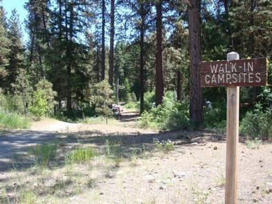
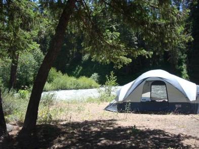
Hause Creek Campground offers standard and tent-only sites. This is a non-electric, no-water facility so campers will need to bring their own supply.
Natural Features
The Okanogan-Wenatchee is a unique National Forest, where high, glaciated alpine peaks tower along the Cascade Crest. Lush valleys of old-growth forest define its western boundary, and at its eastern edge, rugged shrub-steppe country comprises a more arid region. Elevations range from below 1,000 feet to over 9,000 feet.
Precipitation varies greatly thoughout the area, ranging from approximately 140 inches along the Cascade Crest to only 10 inches along the eastern edge. Visitors can expect many days of warm, sunny weather in the summer and plenty of snow in the winter.
Nearby Attractions
Boulder Cave National Recreation Trail is one of the most popular places in the Naches District. Visitors can walk the accessible trail along the river or explore Boulder Cave. Interpretive signs along the trail explain the geology, plants, animals and fire history of the area.
Hikers may want to traverse a portion of the Pacific Crest Trail (PCT), one of the world’s premier National Scenic Trails. This trail showcases some of North America’s most fantastic scenery as it winds its way from Mexico to Canada through California, Oregon and Washington.
The Goat Rocks Wilderness is nearby. Its peaks are remnants of an extinct volcano, taking the name "Goat Rocks," in honor of the fantastic mountain goats traversing this isolated region.