
Directions
Lower Goodell Group Campground is located at mile marker 120 on State Route 20. From Burlington, WA, drive 60 miles east on State Route 20. From Twisp, WA, drive 82 miles west on State Route 20.
Phone
360-854-7200
Activities
BIKING, BOATING, HISTORIC & CULTURAL SITE, CAMPING, INTERPRETIVE PROGRAMS, FISHING, HIKING, HUNTING, WILDLIFE VIEWING, DAY USE AREA
Keywords
LGGC,North Cascades,Newhalem
Related Link(s)
Washington State Road Conditions
Overview
Lower Goodell Group Campground is a convenient site on the banks of Goodell Creek in North Cascades National Park Service Complex. Don your walking shoes and hit the trails, explore the nearby community of Newhalem or relax next to the cascading creek. Both Upper and Lower Goodell Group Campgrounds are convenient hubs near visitor centers, hiking trails and town amenities.
Recreation
Nature abounds in the Goodell Gorge, where visitors can enjoy exploring the scenery, viewing wildlife and birding. Black bears inhabit the area, so caution must be taken while hiking, picnicking or camping. Campers can access hiking trails from within the facility. The creek and nearby Skagit River offer fishing for trout, salmon and steelhead. There is no boating or swimming at the site.
Facilities
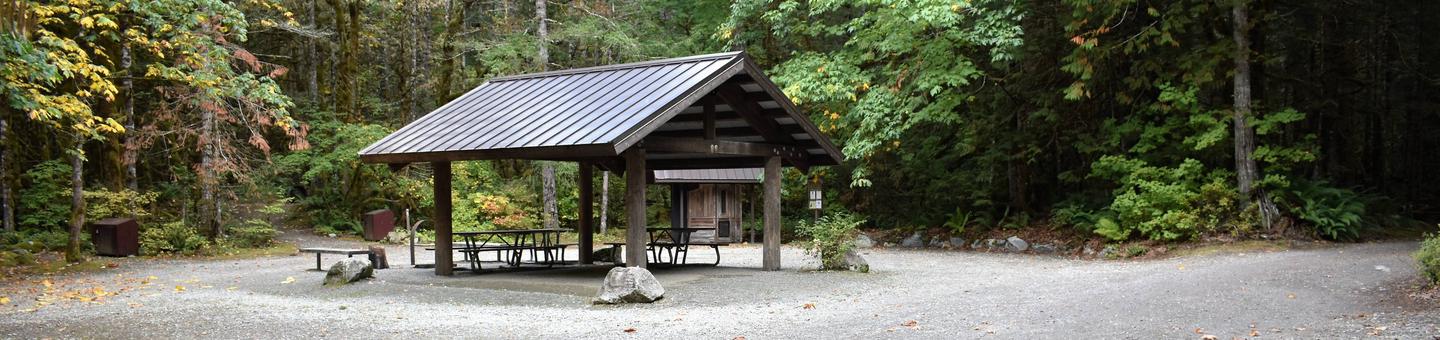
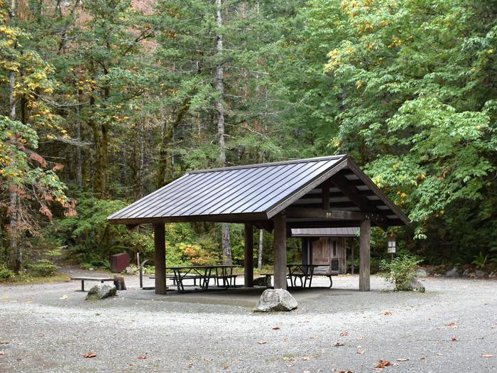
The facility has a picnic shelter and pit toilet for visitors’ convenience. No potable water. Water is available at the main Goodell Creek campground on the south side of State Route 20. The campground has two group sites, which can each comfortably fit 12 to 20 people each; the capacity is 50 per site. The nearest store is in Newhalem.
Natural Features
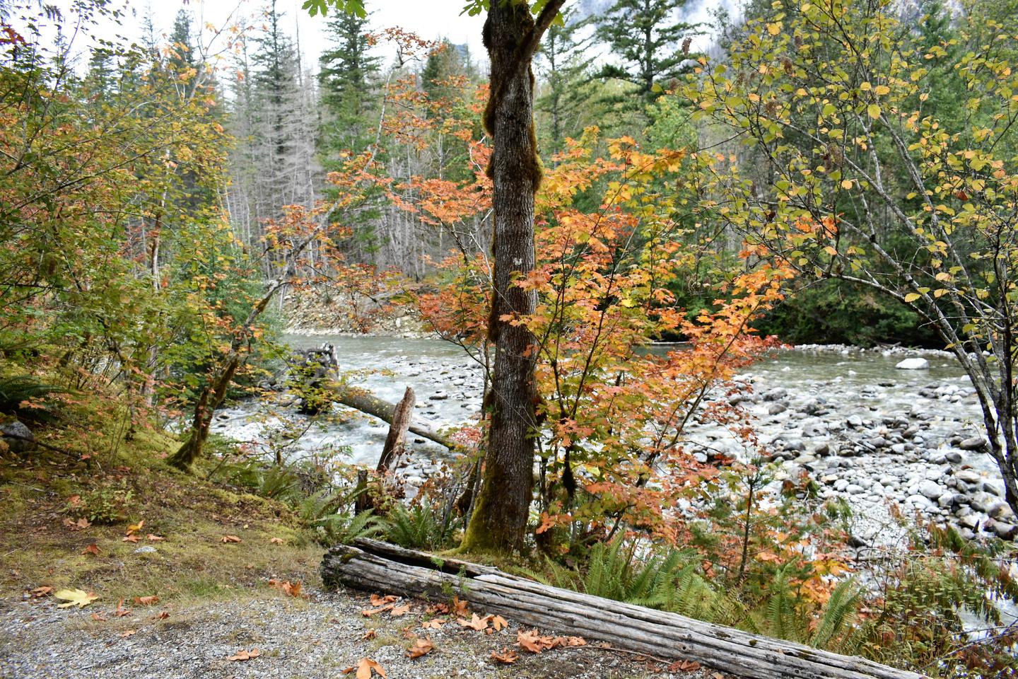
The site lies among lush ancient forests of western redcedar, western hemlock, and Douglas-fir trees. The creek’s headwaters begin in the surrounding mountains, pick up cold, clean glacial meltwater along the way and eventually empty into the Skagit River. The creek provides a sampling of the colorful crystalline rocks of the North Cascade Core, which formed deep underground and are now revealed in the rugged terrain of the North Cascade Range.
Nearby Attractions
Newhalem is within a short walking distance from the campsites. Campers can also walk to the North Cascades Visitor Center and the Skagit Information Center (in Newhalem).