

Directions
Located 5 miles southeast of Victor, ID on Wyoming Route 22, 2 miles north of Trail Creek Campground.
Phone
208-270-0150 OR 541-351-1182
Activities
BIKING, CAMPING, FISHING, HIKING, HUNTING, WILDLIFE VIEWING
Keywords
MIKE,CARIBOU-TARGHEE NF – FS
Related Link(s)
Overview
Mike Harris Campground is located along scenic Teton Pass, just 5 miles from Victor, Idaho at an elevation of 6,200 feet. Visitors enjoy fishing, exploring local trails and sightseeing in this beautiful region.
Recreation
Hiking, mountain biking and horseback riding are popular activities on the Mikesell Canyon Trail, which begins at the site. Trail Creek offers fishing for Yellowstone cutthroat and brook trout.
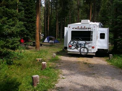
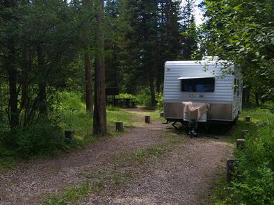
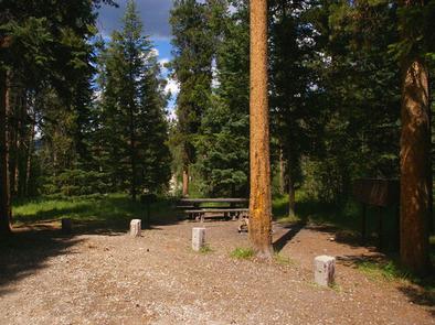
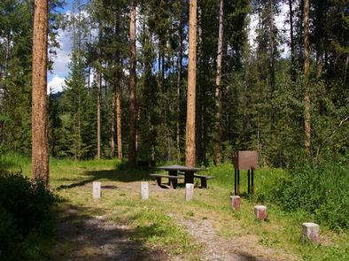
Facilities
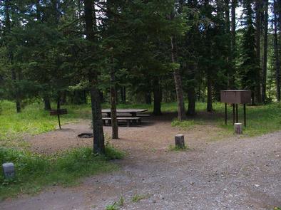
The campground contains single-family sites with picnic tables, campfire rings and food storage lockers. Accessible vault toilets, drinking water and trash collection are provided. Roads and parking spurs are gravel.
Natural Features
The campground is situated near Trail Creek among a forest of Douglas fir and lodgepole pine. A variety of wildlife makes its home in the area, including moose and deer. Summer wildflowers are abundant.
Nearby Attractions
Popular activities in the area include the Teton Valley Summer Festival over the Fourth of July in Driggs, with a hot air balloon festival, parade, rodeo, bike races and craft booths.
Grand Targhee Resort is nearby with outstanding annual music festivals: Targhee Fest is in mid-July; Targhee Bluegrass Festival is in mid-August. The resort also offers lift-served hiking and mountain biking, scenic lift rides, guided horseback riding, a climbing wall and an 18-hole disc golf course.
Grand Teton National Park’s Granite Entrance is 22 miles away; Jackson, Wyoming is 19 miles away. Yellowstone National Park is within a couple hours drive.