Directions
North of Baker City, take U.S. Hwy 30 (Elkhorn Drive Scenic Byway) to Haines. At Haines, turn west on County Rd 1146, staying with the Scenic Byway to Anthony Lakes. Continue on the Scenic Byway (now Forest Service Road 73) past the Elkhorn Summit for approximately 8 miles. Turn left (east) on FSR 380 and travel approximately 3 miles to the end of the road to Peavy Cabin.
South of Baker City, take State Hwy 7 to the Sumpter Junction. Turn right and follow the Elkhorn Drive Scenic Byway through Sumpter and on to Granite. From Granite, proceed north for approximately 7 miles on FSR 73 (Scenic Byway) to North Fork John Day Campground. Turn east. Continue approximately 5 miles on the Scenic Byway, turn right on FSR 380 and go 3 miles to Peavy Cabin.
CAUTION: FSR 380 is a native surface road and is not intended or suitable for low clearance passenger vehicles. Four-wheel drive and high clearance vehicles are strongly recommended. In spring, when the snow is melting and during rainy weather, road conditions can be hazardous due to washouts and possibly high water on the road. Please ask for current road conditions prior to driving the road. FSR 73 is closed in the winter from Anthony Lakes Ski area to Granite.
Phone
541-894-2332
Activities
BIKING, HISTORIC & CULTURAL SITE, CAMPING, FISHING, HIKING, HORSEBACK RIDING, HUNTING, WILDLIFE VIEWING
Keywords
PEAV,PEAVY CABIN,PEAVY GUARD STATION,PEAVY FOREST CABIN,NORTH FORK JOHN DAY MEADOWS,WALLOWA-WHITMAN NF – FS
Related Link(s)
Overview
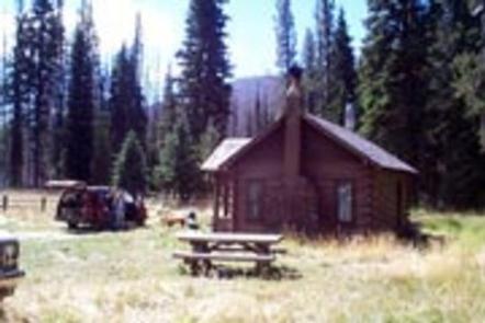
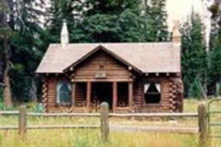
Peavy Cabin was built in 1934 by Dr. George Wilcox Peavy, Dean of the School of Forestry at Oregon Agricultural College (later Oregon State University). The facility was used as his outdoor laboratory to instruct forestry students.
The cabin was then turned over to the Forest Service and used as a guard station. Several restoration projects have kept the integrity and charm of this historic structure, which is now recorded in the Heritage Resource Inventory as a historic site.
This cabin is available from July 1 until October 31 and is accessible via an unpaved road. High clearance and 4-wheel drive vehicles are recommended. Guests must bring some of their own supplies; however, Peavy Cabin does offers few modern conveniences to make for a comfortable stay.
Recreation
Peavy Trailhead is adjacent to the cabin and provides access to the North Fork John Day Wilderness via the Peavy Trail #1640 and the Cunningham Cove Trail #1643. Both trails connect with the Elkhorn Crest National Recreation Trail #1611. These trails are suitable for hikers and horseback riders.
The North Fork John Day River is a popular fishing spot for anglers wishing to catch smallmouth bass and steelhead.
Facilities
This rustic, single-room log cabin contains a fireplace with a wood stove for heating, a large table and benches, and enough beds to sleep 4. The kitchen is equipped with a gas range, refrigerator and dry sink, as well as some cooking and serving utensils.
The grounds are partially fenced and include a picnic table and wood shed. Space is available for additional tent camping. A vault toilet is located near the cabin.
There is no potable water on-site, and guests must bring plenty for drinking, washing and cooking. Guests are expected to bring garbage bags to pack out trash and are required to clean the cabin before leaving.
Bedding, towels, dish soap and emergency items like flashlights and first aid kits are not provided. Phone service, fuel, and a small general store with a cafe are located approximately 15 miles away in the community of Granite.
Natural Features
The cabin sits next to the Wild and Scenic North Fork John Day River at an elevation of 5,900 feet. The Wild and Scenic North Fork John Day River originates in the North Fork John Day Wilderness, and the Baldy Unit section of this wilderness is adjacent to the cabin. The Baldy Unit features diverse landscapes like the rolling benchlands and the granite outcrops of the Greenhorn Mountains.
Much of the wilderness is composed of gentle benchlands and tablelands; the remaining of steep ridges and alpine lake basins. Dense virgin stands of conifer species like Douglas fir, white fir, western larch and lodgepole pine cover the landscape. The area also supports wildlife species like Rocky Mountain elk, mule deer, RockyMountain goats and black bears.
Nearby Attractions
Peavy Cabin is 3 miles from the state-designated Elkhorn Scenic Byway. This 106-mile drive through the Elkhorn Mountains passes through ghost towns and features numerous lakes and rivers.
Charges & Cancellations
A $10.00 service fee will apply if you change or cancel your reservation. Late cancellations are subject to additional fees. For full details see NRRS Reservation Policy


