

Directions
From Soda Springs, take Highway 34 north approximately 33 miles. Turn left on to Greys Lake Road. Drive north about 11.5 miles on Greys Lake Road and turn right onto McCoy Creek Road (Forest Road 087). Follow McCoy Creek Road (Forest Road 087) for 6.5 miles to the guard station. Maps are available upon request at the district office.
Phone
208-847-0375
Activities
BIKING, CAMPING, FISHING, HIKING, HUNTING, WINTER SPORTS
Keywords
CARI,CARIBOU-TARGHEE NF – FS
Related Link(s)
Overview
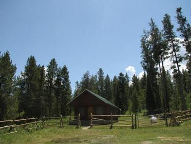
Caribou Mountain and the National Forest are named after a man known as "Cariboo Jack," who discovered gold in this area in 1870. He was an adventurous man who became a local legend. Today, the guard station on Caribou Mountain is a haven for adventurers who enjoy a variety of recreational activities.
The guard station can be accessed by car during the warmer months, but only snowmobiles or skis can be used in winter. Guests should be prepared to make the 6-mile trek with all the gear and supplies they need to make their stay comfortable.
Recreation
Guests at Caribou Mountain Guard Station can enjoy hiking, mountain biking, hunting, fishing, snowmobiling and cross-country skiing. Off-road vehicle trails include the Caribou Mountain ATV Trail and the Caribou Mountain Mine Trail. Click here for an Idaho OHV safety message.
Facilities
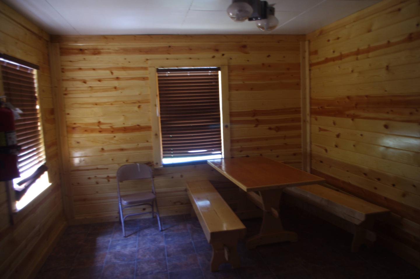
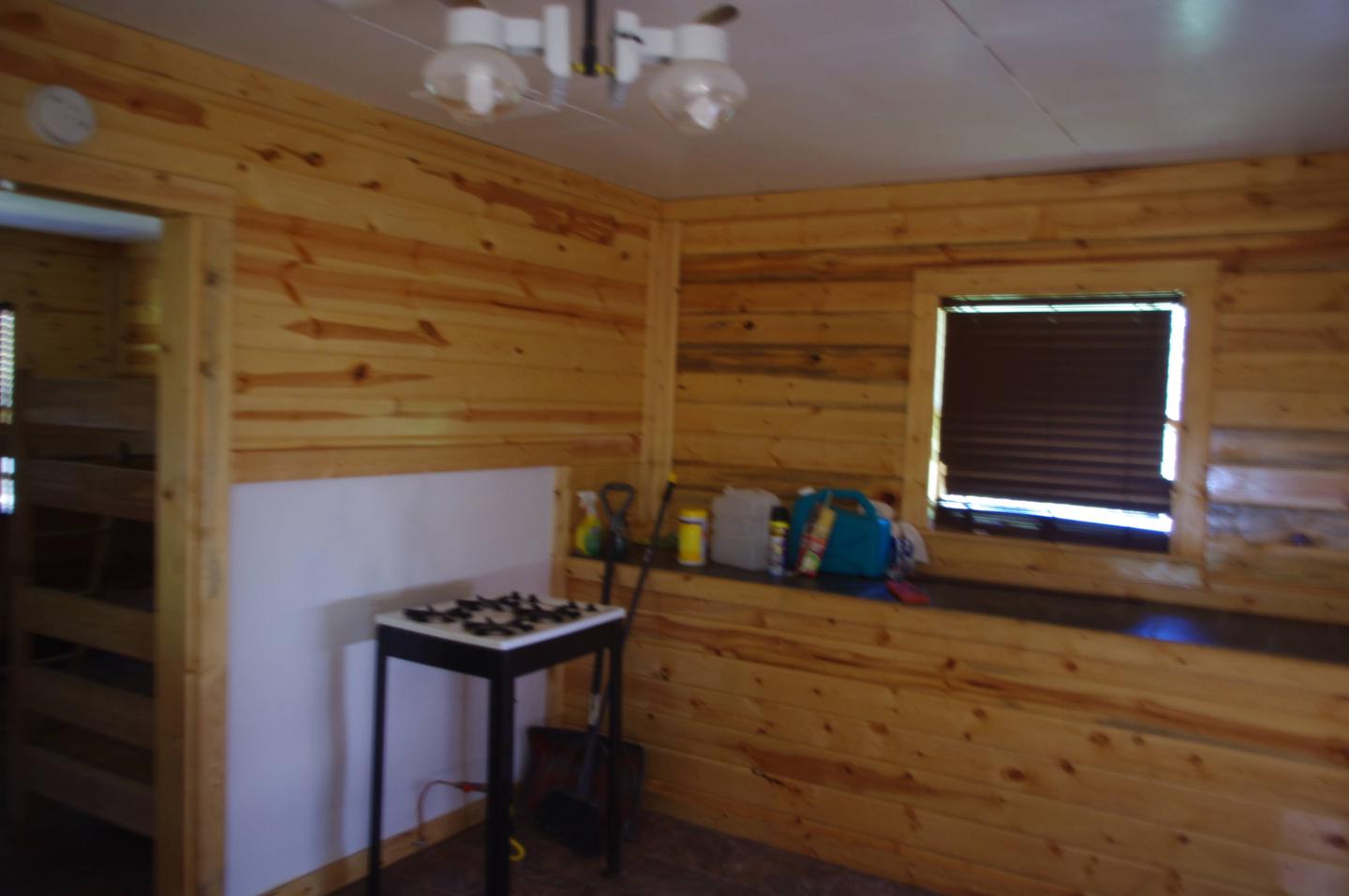
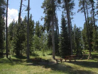
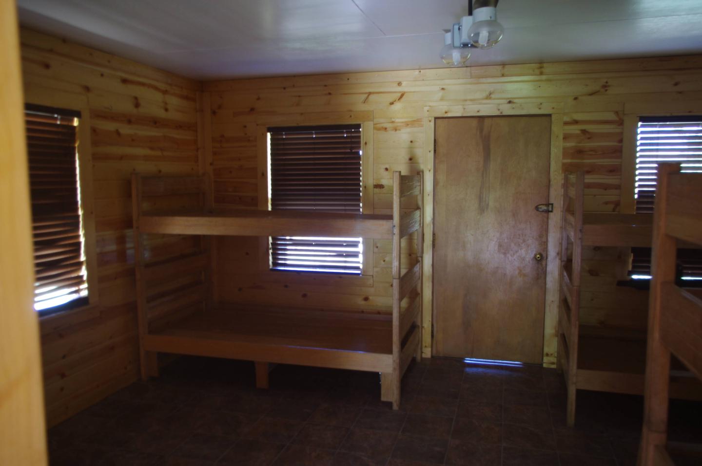
The cabin can accommodate a maximum of 15 guests. One sleeping room is available with a total of six single beds. Guests must bring their own bedding and sleeping pads. A propane cook stove, propane lights and space heater are available, in addition to a supply of propane. A dining area includes a table and chairs. Only a few dishes and cups are provided. A vault toilet and picnic table are located outside.
Drinking water is not provided. Guests are required to bring their own water, as well as garbage bags to pack out their trash. Bedding, dish soap, cooking pots, kitchen utensils and emergency items like a first aid kit are not available.
Natural Features
Caribou Mountain is the second highest peak in southeastern Idaho, with an elevation of 9,803 feet, and the tallest mountain in the Caribou Range. The marshes of Grays Lake spread out below the summit at an elevation of 6,386 feet.
The guard station sits at an elevation of 7,000 feet and is tucked into a stand of mixed conifers at the edge of a meadow. Wildlife in the area include black bear, wolf, elk, moose, mule deer, bison, grizzly bears, mountain lion and pronghorn (bear safety tips).
Nearby Attractions
Grays Lake National Wildlife Refuge is a popular place for bird watching. Sandhill cranes, whooping cranes and trumpeter swans are the main attractions, but the refuge is home to many bird species. Areas of the refuge are open for hiking, cross country skiing and snowshoeing.