
Directions
Travel a half-mile south of Bicknell, Utah, on Highway 24, then turn east on Forest Road 143 and travel 1.5 miles to the campground.
Phone
435-836-2811
Activities
CAMPING, HIKING
Keywords
SUNG,FISHLAKE NF – FS
Related Link(s)
Overview
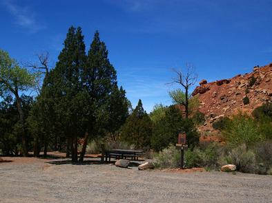
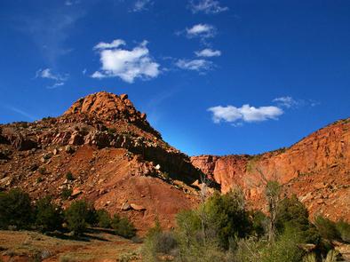
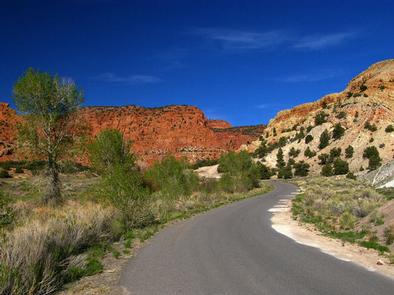
Sunglow Campground is located in a scenic red rock box canyon just 2 miles from Bicknell, Utah. Visitors enjoy exploring local trails and day-tripping to Capitol Reef National Park.
Recreation
Many miles of trails for hiking, biking and off-road vehicles are in the area. The Great Western Trail passes nearby.
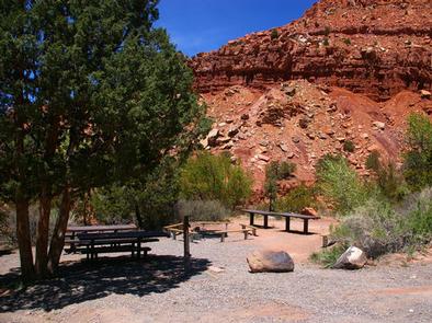
Facilities
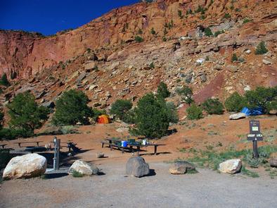
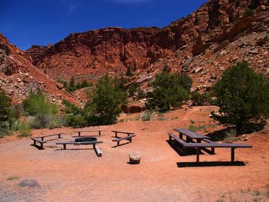
The campground contains two group sites that can accommodate up to 20 people each. Flush toilets and drinking water are provided. A large parking area can accommodate trailers. The road to the campground is paved, but the road and parking spurs within are gravel.
Natural Features
The canyon sits at an elevation of 7,200 feet. Cottonwoods and junipers provide very limited shade. Sagebrush and summer wildflowers dot the landscape.
Nearby Attractions
The Ke Bullock Waterfowl Management Area is nearby, just south of Bicknell, with wildlife viewing and fishing opportunities.
Capitol Reef National Park is approximately 20 miles away, offering excellent hiking trails, historic sites, scenic driving and breathtaking scenery.
Sightseeing along Utah Highway 12, a National Scenic Byway, is very popular. Travelers visit from every corner of the world to gaze upon stunning red rock canyons and desert landscapes.