
Directions
The campground is 320 miles north of Los Angeles and 180 miles south of Reno, Nevada. Follow U.S. Highway 395 to the junction of State Highway 203. Turn west on 203 and drive 7 miles through the town of Mammoth Lakes. Highway 203 becomes Main Street, and then becomes Lake Mary Road, which leads to the Lakes Basin. Continue on Lake Mary Road to the Twin Lakes cutoff.
Phone
760-934-5795
Activities
BIKING, CAMPING, FISHING, HIKING, HORSEBACK RIDING
Keywords
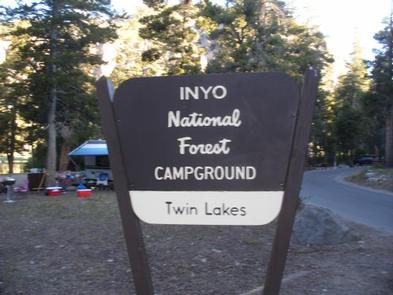
TWNL,INYO NF – FS
Related Link(s)
California State Road Conditions
Overview
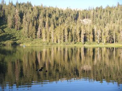
Twin Lakes Campground is located in the eastern Sierra Nevada Mountains near the town of Mammoth Lakes, California. It offers lakeside camping with breathtaking scenery and many outdoor activities. The lake is a great base for fishing, boating, viewing waterfalls and hiking, and offers close proximity to the town’s amenities.
Recreation
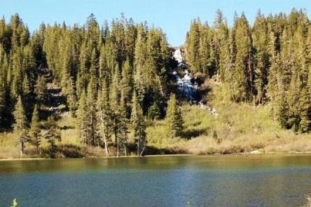
The eastern Sierras are known for great trout fishing, and the 108-acre lakes are a prime location for it. Anglers can cast for rainbow, brook and brown trout while watching a waterfall tumble into the lake. The calm waters are also inviting for canoes and kayaks. Power boats must have electric motors.
Several trails offer a variety of hikes nearby, including a 4-mile trail on Mammoth Mountain and two shorter nature trails along the lakes.
Families enjoy attending educational programs scheduled throughout the summer.
Facilities
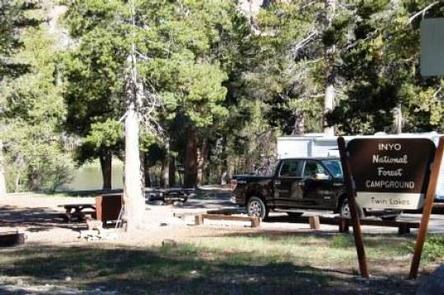
This is a large facility with campsites split into two sections on either side of Twin Lakes. Sections 1 and 2 are on the west side, closer to the shore. Section 3 is set upon a hill. Picnic tables, campfire rings, flush toilets and drinking water are provided.
Campers can walk to the facility’s general store for boat rentals, camping supplies and showers.
Natural Features
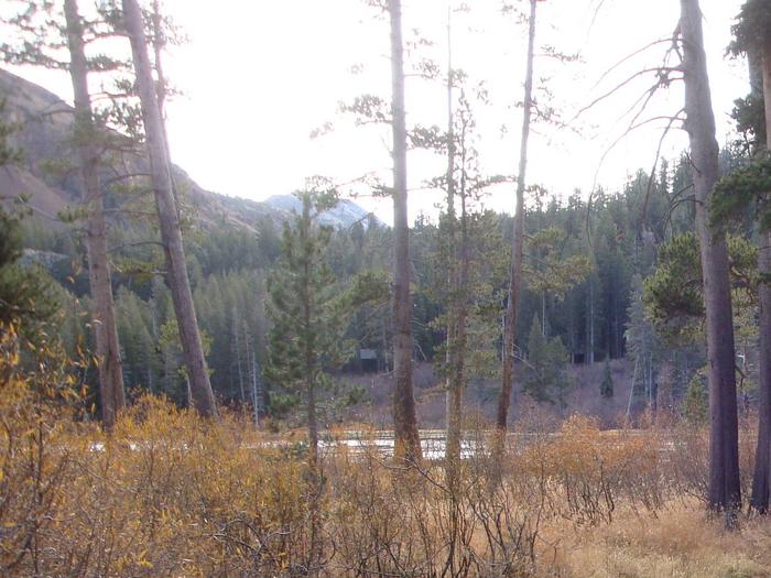
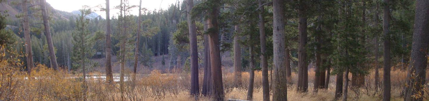
The campground is forested with lodgepole pine, providing partial shade and a private setting. It sits at an elevation of 8,600 feet at the base of snow-capped, 11,059′ Mammoth Mountain, a popular skiing destination. A cascading waterfall flows into one of the lakes.
The mountains are abundant with wildlife, including black bear, mountain lions, mule deer, pine marten, pika and many species of fish and birds.
Nearby Attractions
Mammoth Lakes Basin contains several additional popular lakes to explore for fishing and boating, and Mammoth Mountain Ski Resort offers year-round recreation.
Visitors can also access the magnificent John Muir Wilderness nearby, which stretches 100 miles along the crest of the Sierra Nevadas, a land of lofty snow-capped mountains, deep canyons and vast expanses of glacially-carved terrain. Abundant hiking and horseback riding trails are available.