

Directions
From Bozeman, MT: Drive west towards Four Corners, then south towards Big Sky/West Yellowstone on US Highway 191 for about 19.5 miles. Turn right onto Spanish Creek Road and drive 9 miles to the National Forest boundary. Continue on towards the Spanish Creek Trailhead. To the left (east) side of the road look for a jack leg fence and the access gate for the Spanish Creek Cabin. Use the cabin combination to unlock the gate. Please close the gate behind you. Winter Route, December 2 through May 15: Cabin renters must park 5 miles from US Highway 191 at the Forest Service gate. The Spanish Creek Road FS 982 is closed to wheeled motor vehicles. Do not block any gates. The private landowner must have access beyond the gates year around. Visitors may ski, snowshoe, hike, or bike (depending upon snow conditions) 3.5 miles to cabin. ROAD CLOSURE INFORMATION: (Please refer to the Motor Vehicle Use Map ) December 2 through May 15 Spanish Creek Road FS 982 is closed to wheeled motor vehicles.
Phone
406-522-2520
Activities
CAMPING, FISHING, HIKING, HUNTING, WINTER SPORTS, WILDLIFE VIEWING
Keywords
SPAC,SPANISH,CREEK,GALLATIN NF – FS
Related Link(s)
Overview
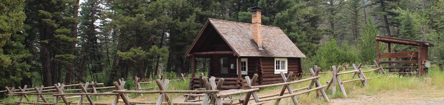
Spanish Creek Cabin was constructed in 1934 and retains much of its rustic character from that time. The cabin is available year-round and offers an excellent base camp for a variety of summer and winter recreation opportunities. It is adjacent to a popular trailhead and a campground. Guests may drive to the cabin during summer months. During the winter (December 2nd through May 15th) the access road is gated 3.5 miles from the cabin and guest should be prepared to hike, bike, ski or snowshoe to the cabin. Guests are responsible for their own travel arrangements and safety, and must bring several of their own amenities.
Recreation
A nearby trailhead provides access to a network of trails that head south into the Lee Metcalf Wilderness and west into non-wilderness areas.The trails can be used by hikers, equestrians, snowshoers and cross-country skiers. Trails also lead to Little Hell Roaring Creek, the north end of the Madison Range and the South Fork of Spanish Creek. This area also offers opportunities for fishing and hunting.
Facilities
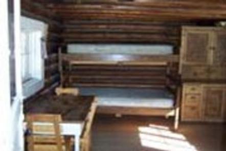
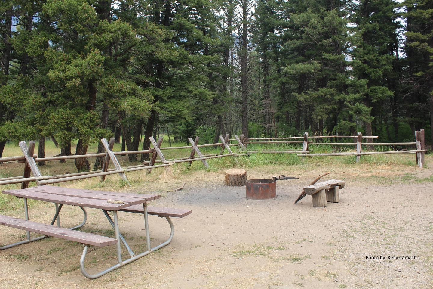
The two-story cabin has bunk beds and beds with mattresses to sleep up to four people. A wood cook stove is provided. In a kitchen area cleaning equipment is available. A campfire ring is located in front of the cabin. An outhouse is equipped with a vault toilet. Electricity and water are not provided. Guests need to bring their own drinking water, bedding, food, lanterns or flashlights, extra toilet paper, dish soap, garbage bags and first aid supplies, among other necessities. The cabin will need to be cleaned and all trash removed before leaving.
Natural Features
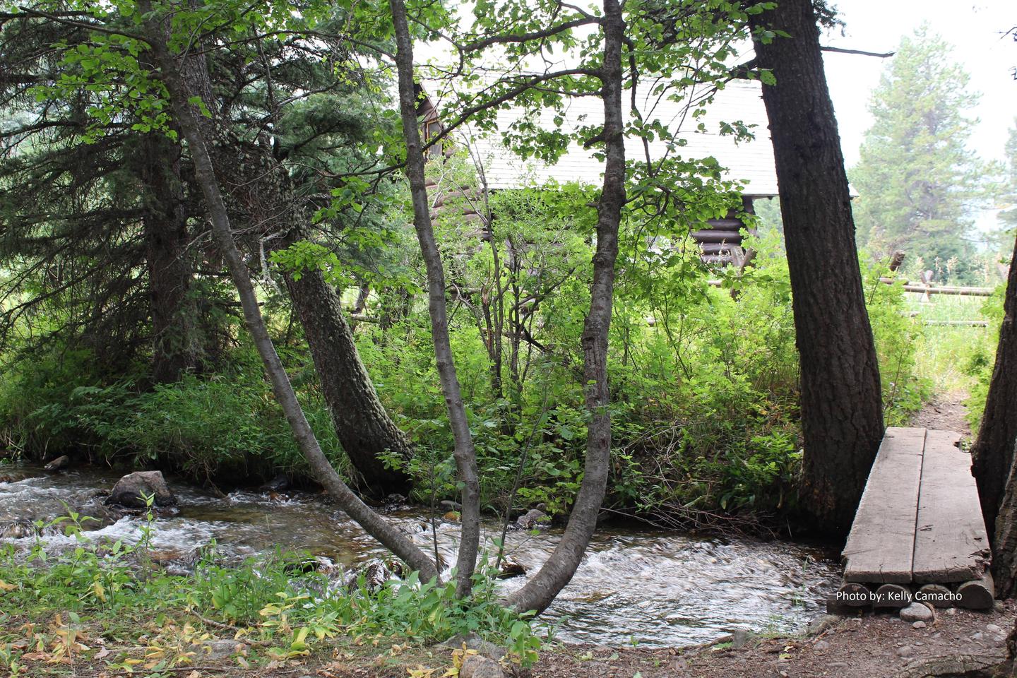
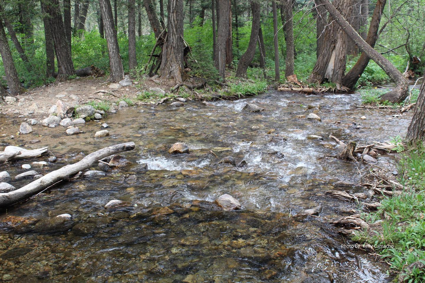
The cabin sits at the base of the Lee Metcalf Wilderness, in a large meadow, at an elevation of 6,200 feet. Wildflowers add bursts of color around the cabin each summer. South Fork Spanish Creek flows nearby. The densely-forested peaks of the Madison Range surround the cabin. This area is home to grizzly bears, moose, elk, deer and bighorn sheep, as well as a variety of bird species.