
Directions
From Albuquerque, drive north on I-25 to Exit 242 Bernalillo/St Hwy 165, stay to your right as you exit the ramp. Proceed east on State Road 165 and go through Placitas. The road will curve to the south and lead you into the Sandia Mountain range. Las Huertas Picnic Site will be on your right. Remember to display your amenity/parking pass in the window of your vehicle.
Phone
505-281-3304
Activities
CLIMBING, FISHING, HIKING, WILDLIFE VIEWING, BIRDING
Keywords
LHPA,CIBOLA NF – FS
Related Link(s)
New Mexico State Road Conditions
Overview
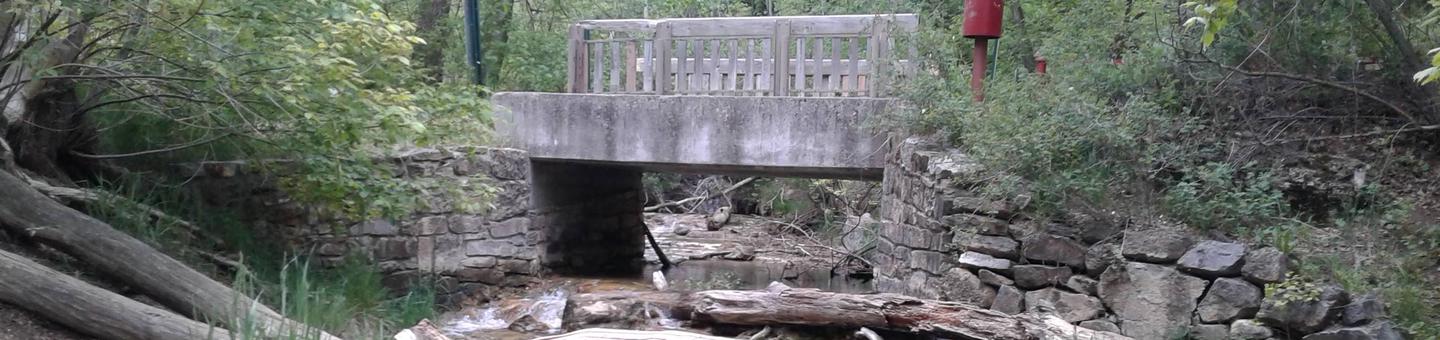
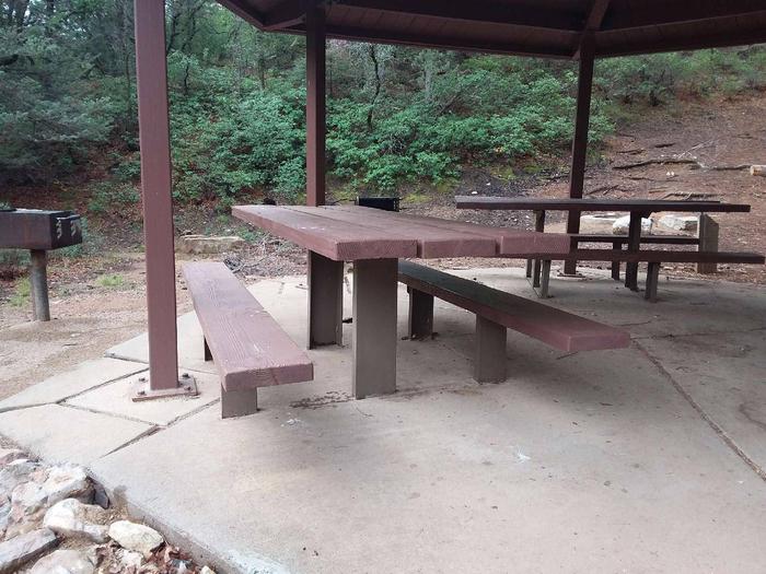
Las Huertas was built by the Civilian Conservation Corps. It is located at the northeast end of the Sandia Ranger District. It is, understandably, a favorite place for many. Las Huertas Creek meanders year round through this recreation site. Pathways and foot bridges lead over the water and through the trees to dispersed picnic tables and grills that are tucked away in the woods. The group site pavilion is a replica of the 1930s Civilian Conservation Corps design.
Las Huertas was a side camp for the Civilian Conservation Corps from 1933 to 1941. The Civilian Conservation Corps (CCC) has a rich history and lasting presence throughout the Sandias. In their honor, we ask that you take extra care to leave no trace when you visit. Please note that overnight camping is not allowed.
Recreation
Picnicking and bird watching are favorite pastimes at this site.
Facilities
Drinkable water and electricity, firewood /charcoal are not available at the site. Accessible vault toilets and bear proof trash receptacles are provided.
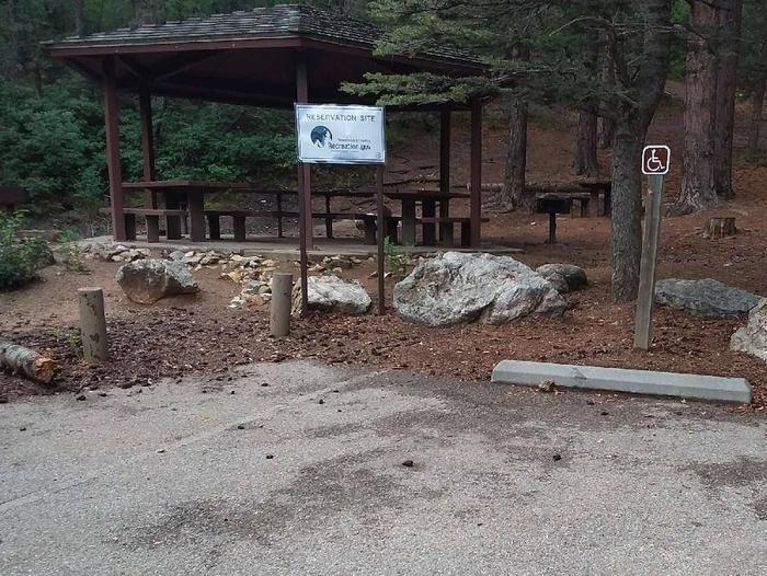
The accessible picnic site has a covered shelter that can accommodate up to 30 people. It is equipped with multiple picnic tables and grills. Accessible vault toilets are provided.
PARKING: Each reservation comes with ten (10) day use parking passes which should be picked up before hand, at the Sandia Ranger Station, Monday through Friday between 8:00 a.m. and 4:30 p.m., (505)281-3304.
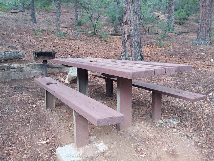
Additional dispersed picnic sites, which do not require a reservation, are available on a first-come, first-served basis. Each site can accommodate a small family group and have no covering. Tables and grills provided.
Natural Features
The site is located on the east side of the Sandia Mountains, at an elevation of 7,600 feet. Las Huertas is adjacent to the only year-round stream in the range and can be heard throughout the picnic area. The water draws birds and other wildlife to the picnic grounds. Aspen and fir trees surround the area, providing shade from the sun.
Nearby Attractions
Sandia Man Cave is a short drive north. The parking lot for the cave is on the right or east side of the road. No fee is required. The town of Placitas is approximately 6-7 miles north and offers restaurants and a few gift stores. Bernalillo is not far away with hotels and other amenities.