Activities
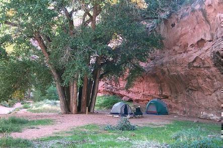
BIKING, CAMPING, HIKING, HORSEBACK RIDING, OFF HIGHWAY VEHICLE, PICNICKING, WINTER SPORTS, RECREATIONAL VEHICLES, WILDLIFE VIEWING
Camping Reservations
Reserve your campsite at these camping areas:
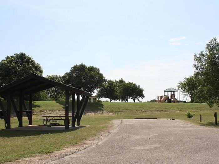
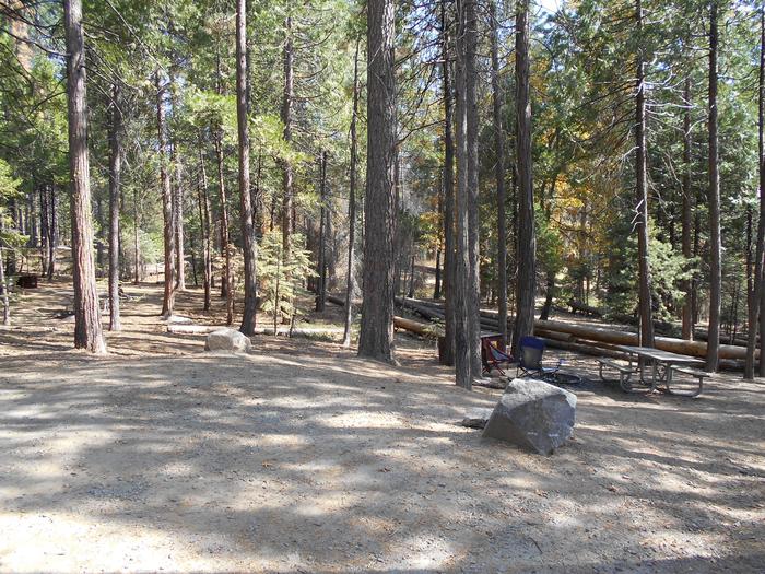
PINE FLAT PICNIC SITES – A and B
DOC LONG PICNIC SITES – A and B
Cedro Peak Camping Sites – Robin and Jay
Oak Yucca and Locust Group Picnic Sites
Hiking Trails
Looking for nice hiking areas to take a hike? Choose from these scenic hiking trails:
Red Canyon/spruce Spring Trailhead
La Cueva Trailhead-La Cueva Trail 83 & Picnic Site
Coyote TH, Coyote Trls 05620, 05619, 05851, FR 462
Related Link(s)
More New Mexico Recreation Areas
Cibola National Forest and Grasslands
Cibola National Forest & National Grasslands
Acreage: 1,625,542
Elevation: 2,700 feet -11,300 feet
The mountain ranges of the four forested districts of Cibola National Forest and National Grasslands include: the Datil, Gallinas, Magdalena, Bear, San Mateo, Zuni, Sandia and Manzano mountains, as well as the Manzano, Withington and Apache Kid wildernesses. These are all located in central New Mexico. The Cibola National Forest also includes 263,954 acres of national grasslands in northeastern New Mexico, western Oklahoma, and northwestern Texas.
CLIMATE: Climate within the Cibola National Forest and National Grasslands varies with elevation – from the desert up through juniper, pine, and spruce-fir forests. Summer nights are cool, and very cold above 8,000′. During July and August there are frequent afternoon showers.
Sandia Crest elevation is 10,678 feet and is accessible by car, aerial tramway and trail. Capilla Peak™s elevation is 9,375 feet and is accessible by car. Mount Taylor peaks at an elevation of 11,301 feet and has a road within a mile of the top. The Cibola National Forest also offers several other scenic drives on its districts.
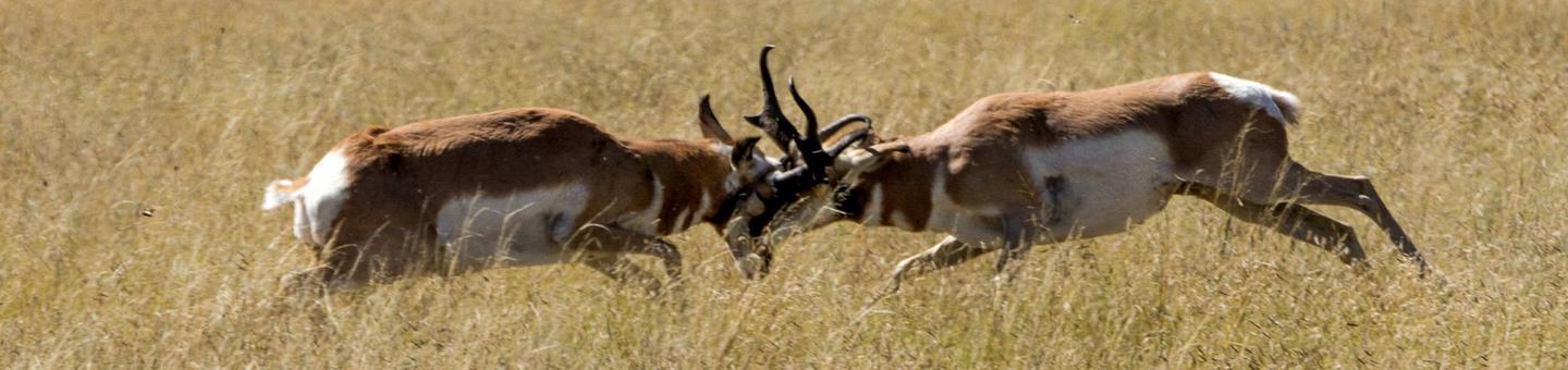
ACTIVITIES: Cibola National Forest and National Grasslands offers good deer hunting as well as some elk, antelope, and turkey hunting. Fishing opportunities are available at Bluewater and McGaffey Lakes in the Zuni Mountains, Skipout, Spring Creek, and Dead Warrior Lakes in Oklahoma, and Lake Marvin and Lake McClellan in Texas. Nearby attractions also include the Sandia Peak Ski Area in the Sandia Mountains, the Very Large Array by the Magdalena Ranger District, prehistoric ruins, ice caves, lava flows, and Indian pueblos.
SEASONS OF RECREATIONAL USE: Most of the Cibola is open all year, although the severe high country winter prompts the closing of select developed recreation areas. Extra care should be taken when visiting in winter.
Before you go, make sure there are no fire restrictions.