CAL-IDA, CA Campground Reservation, Info, Images, Map, Directions

CAL-IDA, California Campground Images, Info & Reservations

Directions

From Downieville, travel south on Highway 49 for about 13 miles. The campground is on the right side of the highway.

Phone

(530)478-6253

Activities

BIKING, BOATING, CAMPING, FISHING, HIKING, HUNTING

Keywords

CALI,TAHOE NF – FS

Related Link(s)

Rec Area Info & Images

California State Tourism

California State Road Conditions

Overview

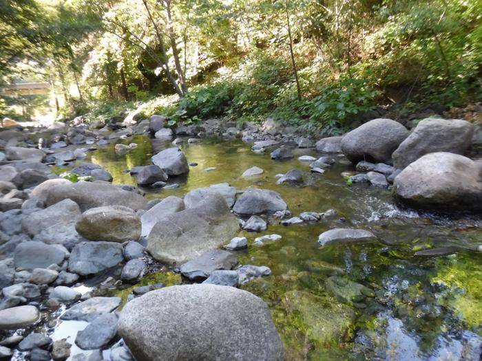
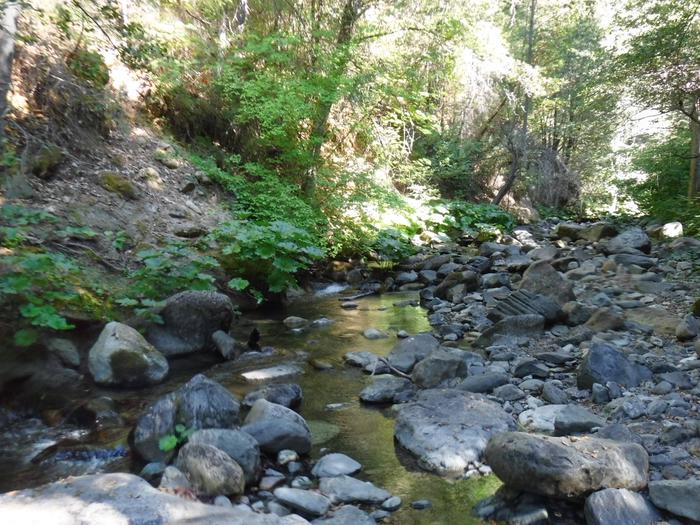
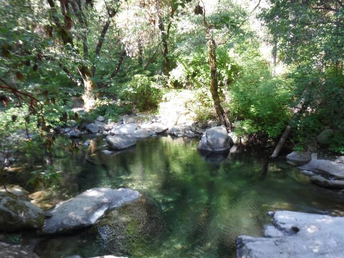
Cal-Ida Campground is located on Highway 49, across the road from the North Yuba River and 13 miles from Downieville. Visitors enjoy a wide variety of recreational activities in the area, including hiking, fishing, biking and enjoying the cool waters of the North Yuba River.  This facility is operated and maintained by the Tahoe National Forest.

Recreation

The North Yuba River offers swimming, wading and rainbow trout fishing. Seasonal rafting, and kayaking are popular water activities. A network of trails  is located within the surrounding area including the nearby North Yuba River Trail.

Facilities

The campground offers single-family campsites, some of which are designated for tent camping only. Each site is equipped with a picnic table and campfire ring. Vault toilets and drinking water are provided.

Natural Features

The campground lies across the highway from the North Yuba River.  Oak, maple and locust trees are scattered throughout the campground, offering some shade.

Reservation

More from CampingHiking.net:

ALPINE RANGER STATION, Colorado Campground Images, Info & Reservations

Directions From Gunnison: Take US-50 west for approximately 35 miles. Turn left on Co. Rd 66 to FSR 867. Follow FSR 867 for approximately 20 miles to its junction with FSR 868. Turn right – Alpine Ranger Station will be 5 miles ahead on the right-hand side. Phone 970-641-0471 Activities

DALE HOLLOW LAKE – PRIMITIVE CAMPING, Tennessee Campground Images, Info & Reservations

Directions Camping locations are dispersed throughout Dale Hollow Lake. Reference primitive camping map or site details for information on how to get to the specific site. Mailing and contact information is for the Resource Manager’s Office. Phone DALE HOLLOW LAKE RESOURCE MANAGERS OFFICE-931-243-3136. SHERIFF’S DEPARTMENT EMERGENCY CONTACTS: CLAY COUNTY 931-243-3266

CHICKEN CREEK, Oklahoma Campground Images, Info & Reservations

Directions From Gore, Oklahoma, go 17.5 miles northeast on Highway 100, take the turn left and go 1.5 miles northwest on the paved access road. Follow signs into the campground. Phone 918-487-5252 Activities CAMPING, SWIMMING SITE Keywords CHOK,TENKILLER LAKE,TENKILLER FERRY LAKE,TENKILLER FERRY Related Link(s) Rec Area Info & Images Oklahoma

SANDY BEACH CAMP, Iowa Campground Images, Info & Reservations

Directions From Interstate 380 (Shueyville, Iowa) take Exit 10 towards Shueyville. Travel east on 120th St. NW for 1.2 miles. At the stop sign, turn right onto NE Curtis Bridge Rd. Travel south on NE Curtis Bridge Rd for 1.1 miles. Turn left onto Sandy Beach Rd. NE and travel

STAR MEADOWS GUARD STATION, Montana Campground Images, Info & Reservations

Directions STAR MEADOW GUARD STATION 5250 Star Meadows Road Whitefish, Montana 59937 Travel from Whitefish west on Highway 93 approximately 12 miles to mile marker 139, turn left onto Farm to Market Road. Continue 1.7 miles; turn right at the "Tally Lake Campground" sign onto the "Star Meadows Road". Continue

ALPINE RIDGE, Arkansas Campground Images, Info & Reservations

Directions From Interstate 30, take exit 73 and merge onto State Highway 8 west for 19 miles. Turn right on Fendley Road and continue 8.5 miles to the campground. Phone 870-246-5501 Activities BOATING, CAMPING, FISHING, SWIMMING SITE Keywords ALPR,DEGRAY LAKE,ALPINE,DEGRAY LAKE Related Link(s) Rec Area Info & Images Arkansas State