

Directions
From Sierra City, travel north on Highway 49 for 5 miles. Turn left at Bassett Station on Gold Lake Highway and continue just over a mile to Packer Lake Road and turn left. Continue for about 1 mile and turn left into the campground.
Phone
(530)478-6253
Activities
BOATING, CAMPING, FISHING, HIKING, HUNTING, DAY USE AREA, HOTEL/LODGE/RESORT PRIVATELY OWNED, PHOTOGRAPHY, SWIMMING, MOUNTAIN BIKING, WATER ACTIVITIES, NON-MOTORIZED BOATING, SCENIC DRIVE, BACKPACKING
Keywords
SARD,TAHOE NF – FS
Related Link(s)
California State Road Conditions
Overview
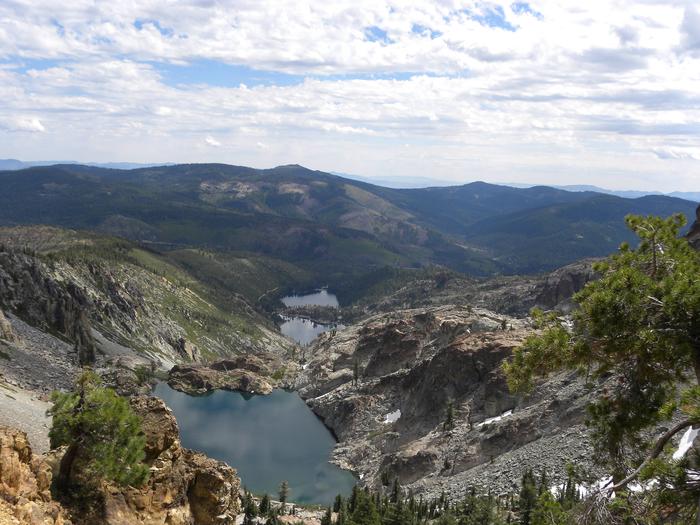
Sardine Lake Campground is located in the North Yuba River area, near the beautiful Sardine Lakes. Visitors enjoy a wide variety of recreational activities in the area, including hiking, hunting, fishing, canoeing and gold panning. This facility is operated and maintained by the Tahoe National Forest.
Recreation
Boating, fishing and swimming are available at nearby Sardine Lakes and Sand Pond. Sardine Lakes Resort offers boat rentals, lodging, and a restaurant. A large network of trails is available in the area, including Deer Lake and Tamarack Lakes Trails and the Pacific Crest Trail.
Facilities
The campground offers several single-family campsites and one double site. Each site is equipped with a picnic table, campfire ring, and a food storage locker. Vault toilets and drinking water are provided.
Natural Features
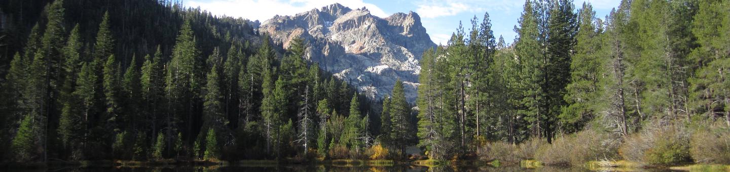
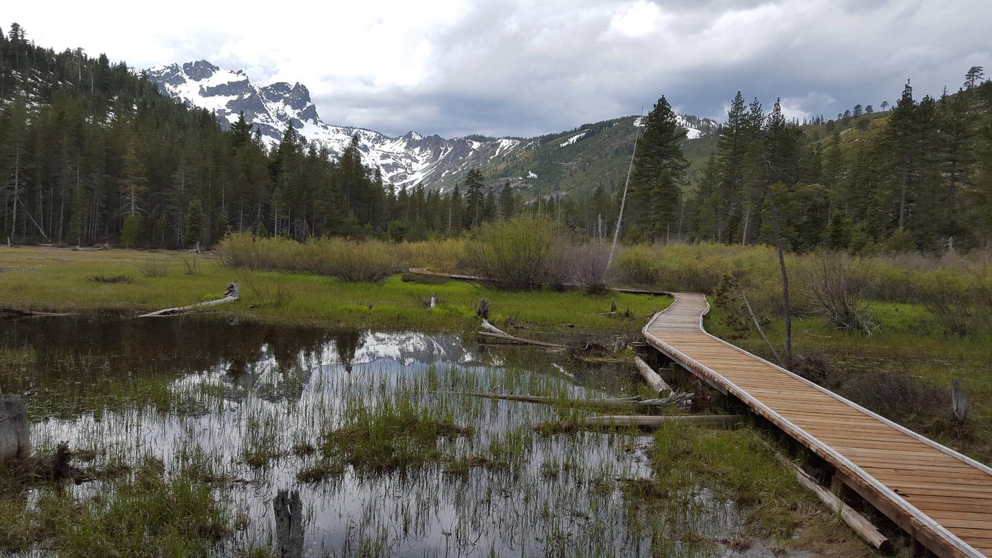
The campground stretches along a wet meadow at the base of the scenic Sierra Buttes. A forest of lodgepole pine offers partial shade. Beautiful high mountain lakes and rugged peaks can be found throughout the surrounding area.
Nearby Attractions
Lakes Basin offers many opportunities for boating, fishing and hiking. Boating, fishing and swimming are available at nearby Sardine Lakes, less than a mile to the west. Sardine Lakes Resort offers boat rentals. Anglers will find rainbow and brook trout in many of the lakes, streams, and rivers throughout the basin. A more developed boat ramp is located at Gold Lake and accomodates launching of larger boats. Over 30 miles of maintained trails for hiking, mountain biking, and motorcycle singletrack branch out across the area and the Pacific Crest Trail can be accessed at a few spots in the Lakes Basin area. The historic towns of Sierra City and Downieville offer historic and cultural attractions, restaurants, shops, churches, and vistor information.