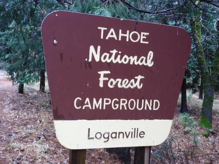
LOGANVILLE, CA Campground Reservation, Info, Images, Map, Directions

LOGANVILLE, California Campground Images, Info & Reservations

Directions

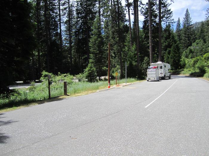
From Downieville, take Highway 49 north about 17 miles. The campground is on the right side of the highway across from the Logaville RV Dump Station.

Phone

(530)478-6253

Activities

BIKING, CAMPING, FISHING, HIKING, HUNTING, MOUNTAIN BIKING, WATER ACTIVITIES, SCENIC DRIVE

Keywords

LOVI,TAHOE NF – FS

Related Link(s)

Rec Area Info & Images

California State Tourism

California State Road Conditions

Overview

Loganville Campground is located along the North Yuba River, off of Highway 49 about 1.5 miles west of Sierra City. Visitors enjoy a wide variety of recreational activities in the area, including hiking, hunting, fishing, biking, swimming and gold panning.

Recreation

Nearby activities include fishing, hiking, white water boating, mountain bike and motorcycle trails, and seasonal hunting. The scenic and historic town of Sierra City is a short drive from the campground where a variety of lodging and dining options are available as well as a grocery store and some boutique stores.

Facilities

The campground offers several single-family sites, all of which are designated for tent camping only. Each site has a picnic table and campfire ring. Vault toilets and drinking water are provided.

Natural Features

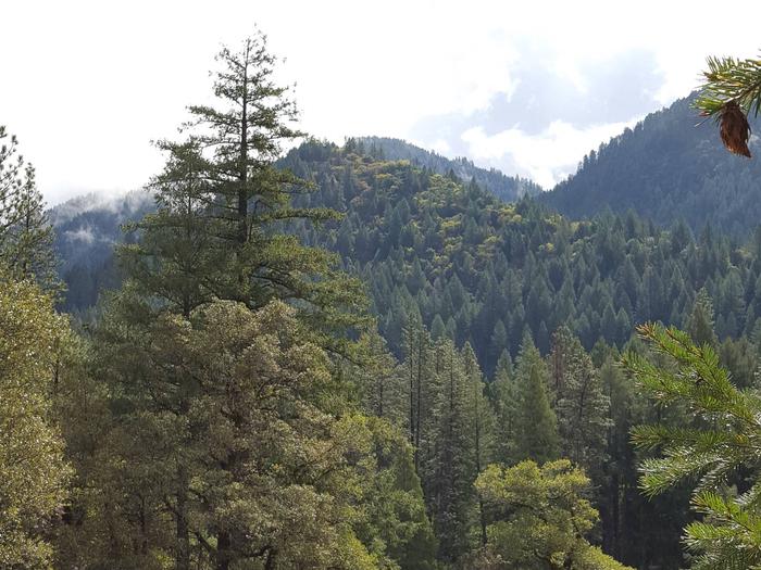
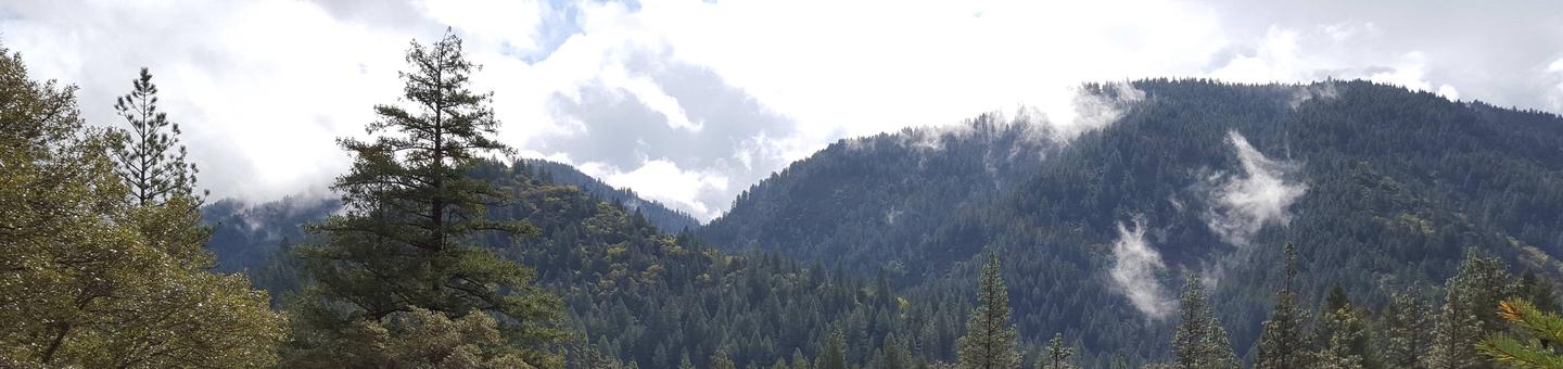
The campground has two loops situated in a scenic, dense forest of oak, pine, and fir trees, which provide ample shade. One section of the campground meanders up a hillside, while the other lies on level ground.

Nearby Attractions

Gold Lakes Basin offers boating, fishing, biking, and hiking. Boating, fishing and swimming are available at nearby Sardine Lakes, about nine miles east of the campground. Sardine Lakes Resort offers boat rentals. Over 30 miles of maintained trails for hiking, mountain biking, and motorcycle singletrack branch out across the area and the Pacific Crest Trail can be accessed at a few spots east of Sierra City and in the Gold Lakes Basin area. The historic towns of Sierra City and Downieville offer historic and cultural attractions, restaurants, shops, churches, and vistor information. On the water, visitors enjoy boating and fishing. Anglers will find rainbow and brook trout in many of the lakes, streams, and rivers throughout the basin.

Reservation

More from CampingHiking.net:

METHODIST COVE, Nebraska Campground Images, Info & Reservations

Directions From U.S. Highway 80, take Highway 183 south to Alma, Nebraska. Turn left on South Street and travel 2.5 miles. The park entrance is on south side of the road. Phone 308-799-2105 Activities BOATING, CAMPING, FISHING, HUNTING Keywords METH,HARLAN COUNTY LAKE,METHODIST,HARLAN COUNTY LAKE Related Link(s) Rec Area Info &

LIVE OAK, California Campground Images, Info & Reservations

Directions From Bakersfield, take Highway 178 east to the town of Lake Isabella. From Lake Isabella take Highway 155 north approximately 6 miles to the Live Oak campground. Phone 760-376-1815 Activities CAMPING Keywords LIVO,LAKE ISABELLA,KERN VALLEY,SEQUOIA NF – FS Related Link(s) Rec Area Info & Images California State Road Conditions

GILL POINT, South Carolina Campground Images, Info & Reservations

Directions From Lincolnton, GA, travel approximately 12 miles north on SR-79. Phone 800-5333478 Activities BOATING, DAY USE AREA, SWIMMING SITE, ACCESSIBLE SWIMMING Keywords GILL,J STROM THURMOND LAKE Related Link(s) Rec Area Info & Images Georgia State Tourism Georgia State Road Conditions Overview Gill Point Recreation Area is a rural park

SHADY CREEK, Iowa Campground Images, Info & Reservations

Directions From Davenport, Iowa, drive west on Highway 22 about 17 miles and turn at the Shady Creek sign. Phone 563-419-0857 Activities BOATING, CAMPING, FISHING, HIKING, DAY USE AREA Keywords SHAD,MISSISSIPPI RV. RI Related Link(s) Rec Area Info & Images Iowa State Tourism Iowa State Road Conditions Overview Shady Creek

DUTCH JOHN DRAW CAMPGROUND, Utah Campground Images, Info & Reservations

Directions The campground is located 2 miles north of Flaming Gorge Dam on U.S. Highway 191. Turn west onto Forest Road 695 and travel a mile to the site. Phone 435-889-3000 Activities BOATING, CAMPING, FISHING, SWIMMING SITE Keywords Dutch John,DUTC,FLAMING GORGE,ASHLEY NF – FS,Flaming Gorge National Recreation Area Related Link(s)

BAILEYS POINT, Kentucky Campground Images, Info & Reservations

Directions From Glasgow, KY: Take 31-E south for 15 mi to Hwy 252. Turn right, go 1.5 mi to Hwy 517, turn right and follow signs to entrance. Approximately 19 miles southwest of Glasgow, KY. Phone 270-622-6959 Activities CAMPING, HIKING, DAY USE AREA, SWIMMING SITE Keywords BAIP,BARREN RIVER LAKE Related