Directions
From White Sulphur Springs, travel west on Highway 360 for 1.6 miles. At this point, make a sharp curve to the right off the highway. There is a Forest Service sign at this junction that reads: Gipsy Lake 14, Townsend 44. Go straight onto the gravel road for 6.5 miles. At 6.5 miles, the gravel road forks at the entrance to a ranch. Stay to the right. As you drive the next 7.5 miles to the Forest boundary, the road will become more primitive. Within a quarter of a mile of the Forest boundary, a sign for Thompson Station will direct you to the right onto Forest Road #383. Take Forest Road #383 for 0.6 miles to a sign that will direct you to the left, and to a gate to the station.
Access to the cabin during the summer months is good and can be reached by driving through White Sulphur Springs or from the west over Duck Creek Pass.
The Forest Service does not provide snow removal to the cabin. During winter, snow closes the road and access is maintained to within about 8 miles of the cabin on the east side. Please use parking that is identified and do not block private land access. Access to the cabin is by snowshoes, cross-country skis, or snowmobile. Generally, the road will open around the first week in June.
Phone
406-266-3425
Activities
BIKING, CAMPING, FISHING, HIKING, HORSEBACK RIDING, HUNTING, WINTER SPORTS, WILDLIFE VIEWING
Keywords
TPSN,DUCK CREEK CABIN,THOMPSON CREEK CABIN,THOMPSON GULCH CABIN,THOMPSON GULCH STATION,HELENA NF – FS
Related Link(s)
Overview
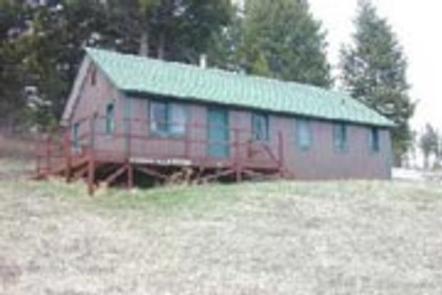
Thompson Guard Station is located in the Big Belt Mountain Range in Helena National Forest. Historical records indicate that the guard station was built in 1954 for rangers in the district, but it may have been used as a cookhouse for a Civilian Conservation Corps camp prior to that date. In later years, engineering and road maintenance crews used the cabin as lodging.
Today, the cabin is a rustic getaway for guests seeking relaxation and recreation in west-central Montana. It is accessible by car, but snow closes the road in winter and access is maintained to within about 4 miles of the cabin on the east side. During these periods, guests should be prepared to reach the cabin by snowshoes, cross-country skis or snowmobile. The cabin offers many amenities, but guests must bring some of their own gear and supplies.
Recreation
Gipsy Lake is 1 mile south of the cabin and is accessible by vehicle. It offers rainbow trout fishing and a launch for non-motorized boats. Another 3 miles south of Gipsy Lake are Hidden Lake, Upper Baldy Lake and Edith Lake.
A number of multi-use trails and roads are in the area, offering chances to hike, mountain bike or ride horses. The winter landscape is ideal for snowshoeing, snowmobiling and cross-country skiing.
Facilities
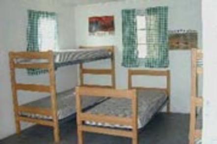
The guard station is furnished with 4 sets of bunkbeds with mattresses to accommodate up to 8 people. The cabin has a Monarch cook stove, propane lanterns, propane stove and a wood heat stove. Other amenities include a table and chairs, cleaning supplies, dishes, utensils and cookware.
An outhouse with vault toilet, picnic table and a campfire ring are near the cabin. An axe and snow shovel are provided. Firewood may be available, but it is not guaranteed. There is a fenced corral just below the cabin.
The cabin does not have electricity, running water or indoor plumbing. Guests must bring a sufficient amount of water for drinking, cooking and washing. Fuel is not provided for the propane lanterns or stove, so guests should bring 1 or 2 small propane cylinders, along with backup lighting.
Guests need to provide their own sleeping bags, linens, towels, dish soap, matches, first aid kit, toilet paper and garbage bags. All trash and food should be packed out, and guests are expected to clean the cabin before leaving.
No firewood provided from June 1st – August 31.
Natural Features
Thompson Guard Station sits in a grassy, open clearing backed by mixed conifer forest.
The area around the cabin offers a variety of landscapes, from river banks to subalpine terrain. Valley bottoms, dense forests, meadows and barren ridges are mixed with streams, rivers and lakes.
Wildlife in the area abounds. Elk, mule deer, white-tailed deer, squirrels and a variety of birds are commonly seen. The more elusive badger, wolverine, mountain lion and lynx find habitat here as well.
Nearby Attractions
Canyon Ferry Lake offers excellent fishing opportunities for rainbow trout, perch, ling and walleye. The wildlife viewing near the lake is quite impressive as well. It is one of the best in the country for viewing large concentrations of bald eagles. A wildlife management area at the end of the reservoir is home to a colony of terns and pelicans.
White Sulphur Springs is about 17 miles away and, as the name implies, there is a hot spring open to the public, which is owned by a local motel.


