Directions
From I-81, take Marion exit 45 onto Virginia State Route 16 South. Follow SR 16 South for approximately 13 miles to the campground on the right.
Phone
800-628-7202
Activities
BIKING, CAMPING, FISHING, HIKING, WILDLIFE VIEWING
Keywords
RACC,GEORGE WASHINGTON/JEFFERSON NF-FS
Related Link(s)
Virginia State Road Conditions
Overview
Raccoon Branch Campground, nestled at the base of Dickey Knob, offers scenic mountain views, hiking trail access from campsites and cool mountain streams. Campers can access Dickey Creek and the Raccoon Branch from the campground. The most notable time to visit is fall, when the trees boast gorgeous fall foliage.
With a location just 11 miles from Interstate 81, the beautiful campground is easily reached by drivers heading out from one of the surrounding cities.
Recreation
The beautiful Dickey Knob Trail takes hikers through a Wilderness to the top of Dickey Knob for spectacular views of Sugar Grove and Rye Valley. The creek provides a setting for wading and fishing.
Facilities
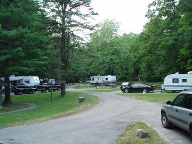
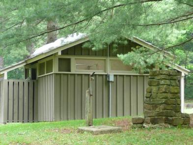
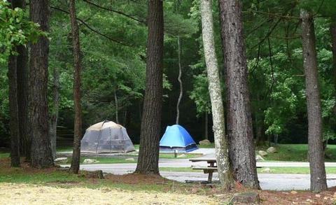
Every site accommodates RV or tent camping and nearly half the campsites have electric hookups. Perks of the campground include flush toilets, drinking water, paved roads and spurs and a dump station. A volunteer host is onsite to welcome visitors and offer advice on the region.
Natural Features
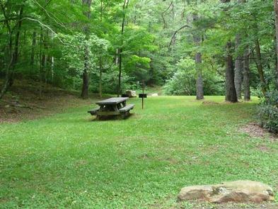
The campground is at an elevation of 2,880 ft., along a large grassy area, surrounded by pines, hardwoods and rhododendrons. Perched in the Appalachian Mountains, Raccoon Branch is part of the Mount Rogers National Recreation Area, a 200,000-acre stretch of designated wilderness areas.
Nearby Attractions
Hike the Appalachian Trail, which extends more than 2,175 miles throughout the Appalachian Mountains across 14 states. The trail was designated as the first National Scenic Trail. The Virginia Creeper Trail, Hungry Mother State Park and Grayson Highlands State Park are nearby.

