FARNUM CREEK, KS Campground Reservation, Info, Images, Map, Directions

FARNUM CREEK, Kansas Campground Images, Info & Reservations

Directions

Take I-70 to exit 295 then north on Highway 77. Drive 11 miles to park entrance.

Phone

785-463-5791

Activities

CAMPING, FISHING, WILDLIFE VIEWING

Keywords

None

Related Link(s)

Rec Area Info & Images

Kansas State Tourism

Kansas State Road Conditions

Overview

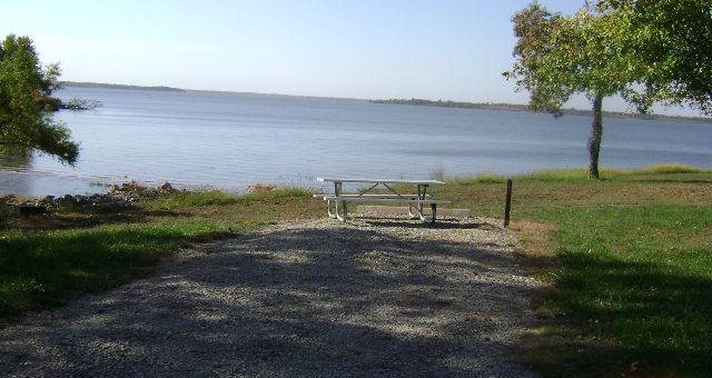
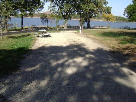
Farnum Creek is a quaint double-loop campground set on the lovely shores of Milford Lake. The Milford Lake recreation area spans 33,000 acres of public land for wildlife protection, cultural resources and plenty of outdoor recreation.

Click here for the Milford Lake Virtual Tour.

Recreation

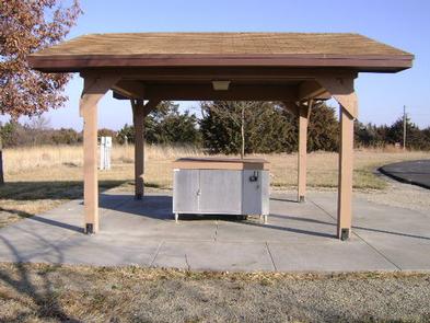
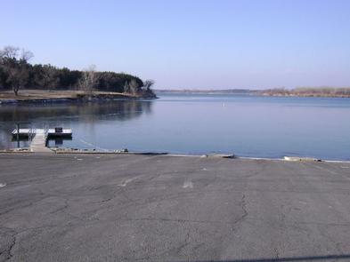
Boating, swimming, fishing, birding and biking are among the many things to do at Milford Lake. Nearly 70% of the land resources are available for public hunting and for fishermen returning from a successful trip, there is a fish cleaning station.

Facilities

The campground has five pull-through RV pads, one of which is an accessible site. Of the 59 cap sites, more than half have electric hookups. The park offers the comfort of hot showers, a playground and boat ramp.

Natural Features

Milford Lake, at 1,200 ft. elevation, extends from the Republican River. It’s the largest man-made lake in Kansas, with a surface area of 15,700 acres and 163 miles of shoreline.

Nearby Attractions

The Milford Nature Center and Fish Hatchery is below the Milford Dam. Beside the nature center is a golf course.

Reservation

More from CampingHiking.net:

DAM SITE(GREERS FERRY), Arkansas Campground Images, Info & Reservations

Directions From Heber Springs, AR, take SR-25 3 miles north and follow signs to the campground. Phone 501-362-5233 Activities BOATING, CAMPING, SWIMMING SITE Keywords DAM3,GREERS FERRY LAKE,DAM SITE Greers Ferry,GREERS FERRY LAKE Related Link(s) Rec Area Info & Images Arkansas State Road Conditions Arkansas State Tourism Overview Dam Site Campground

CAPE HORN WINTER RENTAL, Idaho Campground Images, Info & Reservations

Directions The guard station it is less than two miles by skiing cross-country from State Highway 21 or approximately four miles by following the Stanley-Landmark Snowmobile Trail. If you are a first time renter, it is important to get detailed directions. To obtain these, click here or call the district

BUCKEYE FLAT CAMPGROUND, California Campground Images, Info & Reservations

Directions Buckeye Flat Campground is easily accessed from Visalia, California and Highway 99. Follow Highway 198 East from Visalia for 36 miles, until you reach the Ash Mountain Entrance Station. The campground is located 6 miles beyond the entrance station, across from Hospital Rock. Please visit our website for more

BLUE BILL POINT, Oklahoma Campground Images, Info & Reservations

Directions Address for GPS: Blue Bill Point Campground, 67260 S. 307 Rd., Wagoner, Oklahoma 74467. From the intersection of US Highway 69 and State Highway 51 in Wagoner, Oklahoma, travel north on Highway 69 for 5.5 miles. Turn right on East 680 Road and travel east for 1 mile. Follow