
Directions
When traveling north on Hwy 101, do not turn off at the Zenia Road exit at Garberville. This will result in a 2-hour delay driving on winding back roads. Instead, continue north until you reach the Hwy 36 exit near Fortuna. Turn right, heading east for approximately an hour until you reach the town of Mad River. After you cross the bridge at the Mad River, look for the Mad River Road turn-off on the right. The sign will say Ruth Lake. Continue for 10 minutes to reach the Mad River Campground.
If traveling on Interstate 5, turn at Hwy 36 at Red Bluff and head west for 2 hours until you see the sign for Ruth Lake at Mad River Road.
Phone
707-574-6233
Activities
CAMPING, HIKING
Keywords
None
Related Link(s)
California State Road Conditions
Overview
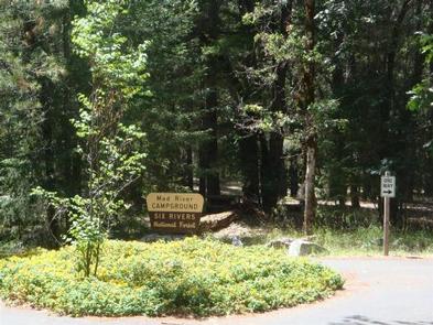
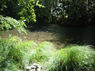
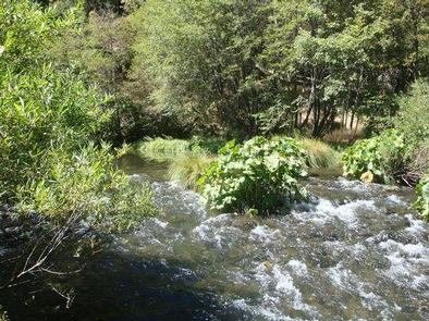
Mad River Campground is located on banks of its namesake river, about two miles south of Ruth Lake in the thickly forested mountains of northern California.
Recreation
Fishing is a popular activity and anglers can expect to catch a variety of trout in the Mad River. Nearby Ruth Lake is open for boating, swimming and other water-related activities. A marina and boat ramp are available for easy lake access, and maps and directions to the marina are located on the information boards in the campground.
Facilities
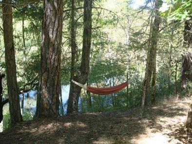
The campground offers multiple single-family campsites, available for tent and RV camping. Some sites are available on a first-come, first-served basis. A majority of the sites are adjacent to the Mad River.
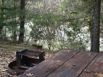
Tables and campfire rings are available at each site. Accessible vault toilets and drinking water are also provided.
Natural Features
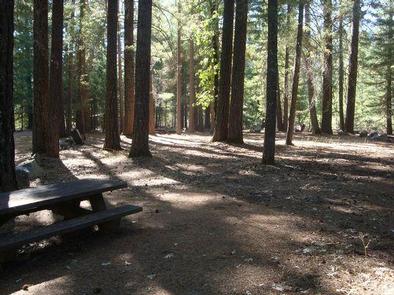
The campground is situated on a bluff overlooking the river among a forested area of oak trees and evergreen shrubs. Portions of the campground are capped with tall Douglas fir trees, providing ample shade.
The Six Rivers National Forest lies east of Eureka in northwestern California, stretching southward from the Oregon border for about 140 miles. U.S. 101, the famed "Redwood Highway," parallels the inland Forest along the coastline. The Forest is just east of the Redwood National Park.
Nearby Attractions
The 13,800-acre Ruth Lake is about three miles south of the campground.