
Directions
- From Bismarck, ND, take University Drive south (road becomes Highway 1804). Continue south approximately 50 miles. The road will intersect with Highway 13. Turn right and continue on Highway 1804 south for approximately 3 miles. Recreation area is on the right side of the road.
- From Linton, ND, travel 13 miles west on Highway 13 to junction of Highways 13 and 1804, then travel west another 3 miles. Recreation area is on the right side of the road.
Phone
701-255-0015. FOR RESERVATIONS, PLEASE CALL 1-877-444-6777.
Activities
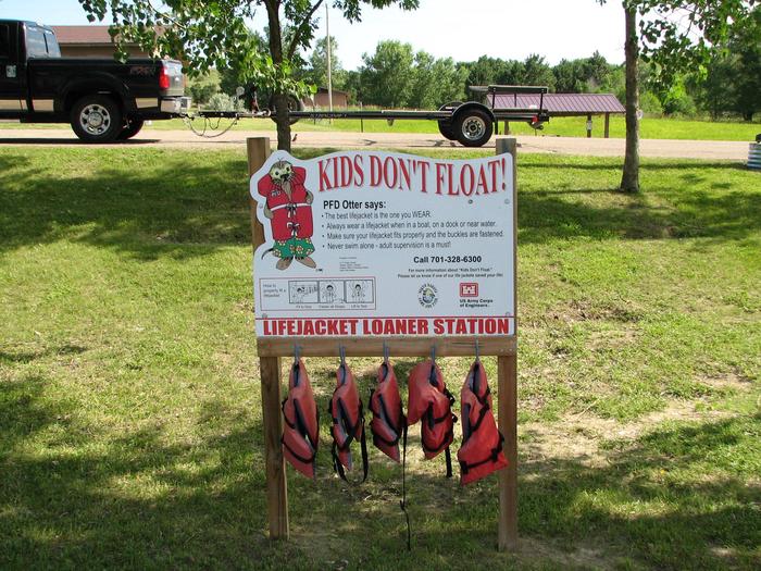
BOATING, CAMPING, FISHING, HIKING, PICNICKING, WILDLIFE VIEWING, SWIMMING, CANOEING, WATER ACCESS, WATER SKIING
Keywords
BEAVER CREEK RECREATION AREA (ND),BEAVER BAY,BEAVER CREEK CAMPGROUND,Lake Oahe
Related Link(s)
North Dakota State Road Conditions
Overview
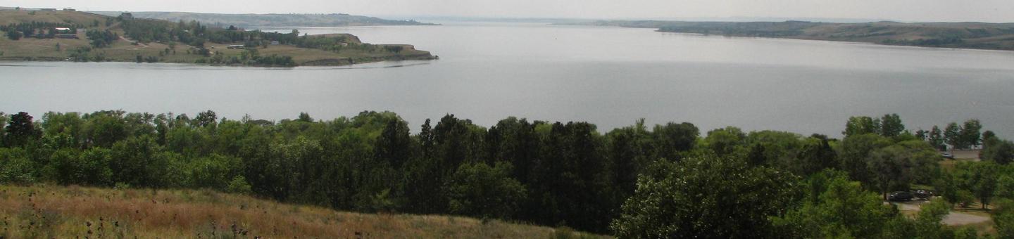
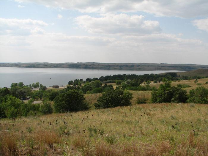
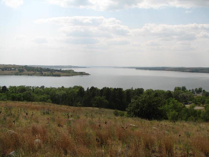
Beaver Creek Recreation Area is located on the north side of Beaver Bay on Lake Oahe, 16 miles west of Linton, ND off Highway 1804. The lake and dam are named for the Oahe Indian Mission established in 1874 among the Lakota Sioux Native Americans.
Over 50 recreation areas are scattered around Lake Oahe, where camping, fishing, boating and hunting are popular activities. For more information, visit the Lake Oahe Project Website.
Recreation
Visitors enjoy coming to Lake Oahe for its great boating, water skiing, swimming and fishing opportunities. Many species of fish inhabit the lake, including walleye, northern pike and yellow perch.
Many acres of land around the lake are open to public hunting. A wide variety of small and large game animals inhabits the area, including deer, pronghorn, grouse, dove, pheasant, partridge, squirrel, rabbit and waterfowl.
Facilities
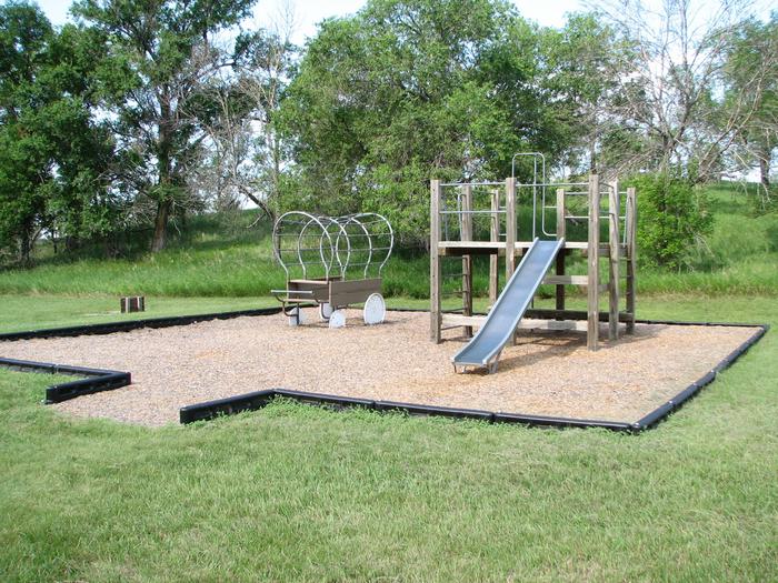
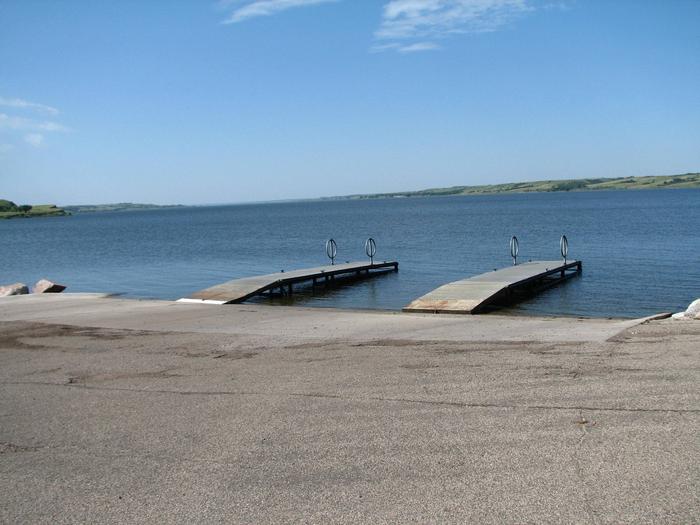
Beaver Creek offers one picnic shelter and 61 reservable campsites, 45 of which have 30-amp electric hookups. The group day-use picnic shelter has electric hookups as well. Amenities include seasonal flush toilets, vault toilets and drinking water (peak season). A three-lane boat ramp and two docks are on-site with another single lane ramp and dock on the southeast side of the bay. There is a fish cleaning station with water (peak season) and electricity near the boat ramp as well. Younger campers love the park’s playgrounds and nature trail.
Natural Features
Lake Oahe, the fourth largest reservoir by overall water volume in the United States and an area of 370,000 surface acres extends from Pierre, South Dakota to Bismarck, North Dakota and is 231 miles long. Located in the Missouri River Valley, Lake Oahe’s 2,250 miles of shoreline are made up of mixed grass prairie dotted with trees that grow down to the shore in occasional steep draws.
Nearby Attractions
- Lake Oahe
Charges & Cancellations
For information about reservation changes and cancellations, Click Here.