
Directions
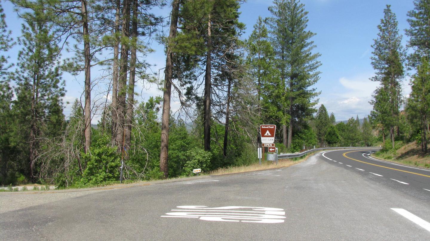
From Groveland, Take State Highway 120 east for 12 miles. The campground is just east of the Groveland Ranger District Office.
Phone
209-379-2258
Activities
BIKING, CAMPING, FISHING, HIKING, WILDLIFE VIEWING, STAR GAZING
Keywords
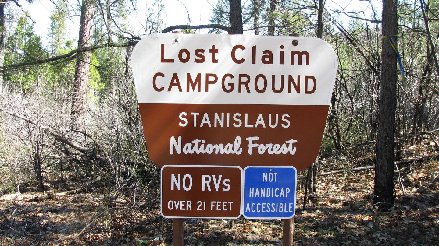
LOST CLAIM
Related Link(s)
California State Road Conditions
Overview
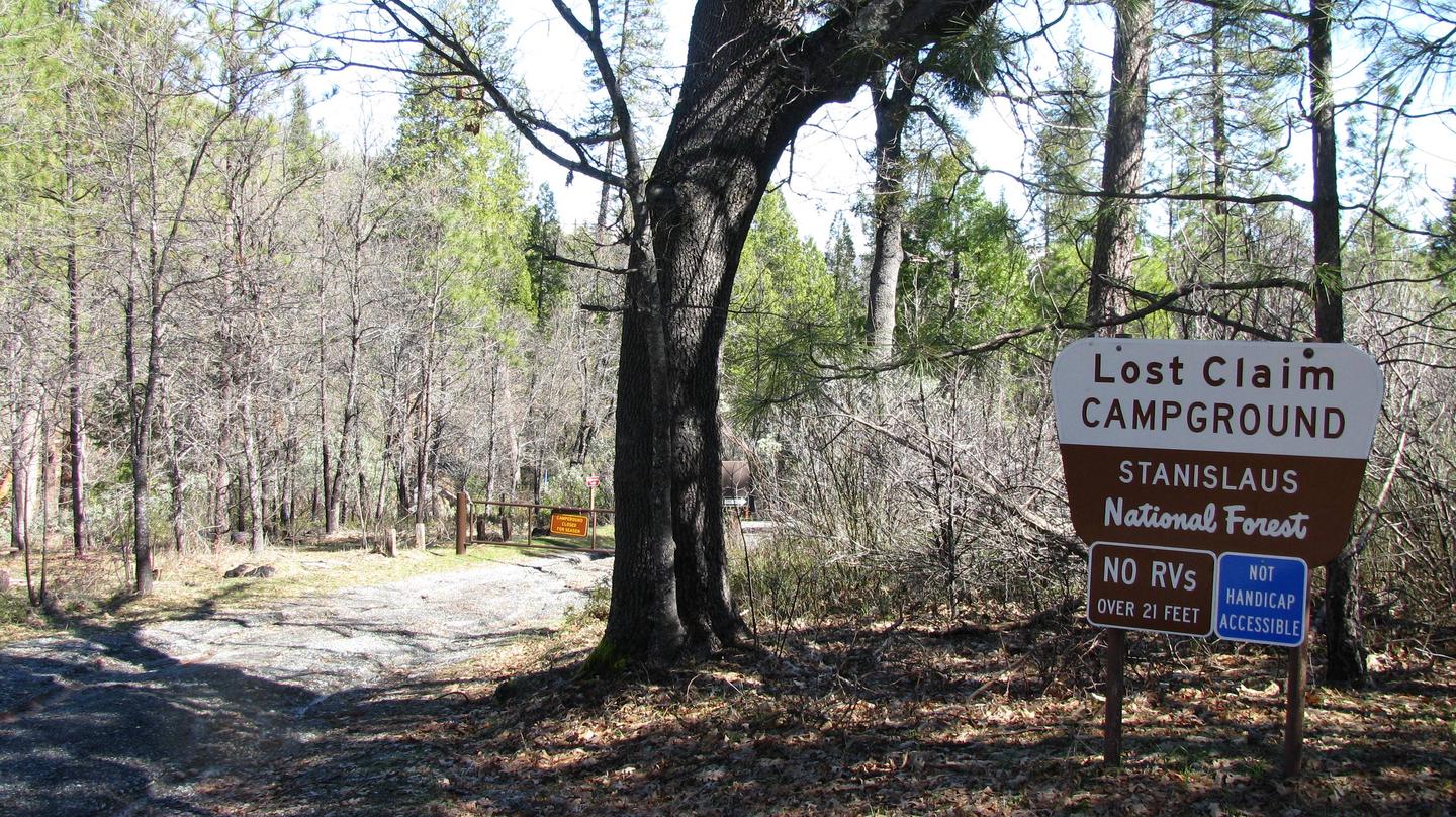
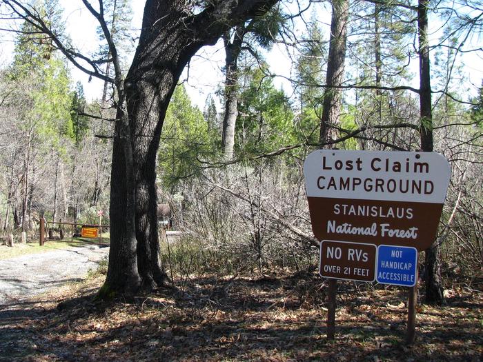
Lost Claim attracts families and friends with its convenient location, just 15 miles from the northwest Yosemite National Park boundary in northern California. Deemed as an ideal base camp, visitors can explore not only Yosemite, but also the fantastic wilderness areas of the Stanislaus National Forest. Pets are welcome, but must be compliant with Tuolumne County leash laws.
Recreation
Hike the Little Golden Forest Trail, a half-mile interpretive loop with the option for a longer two-mile loop. A short drive takes visitors to the Tuolumne River for wading and fishing.
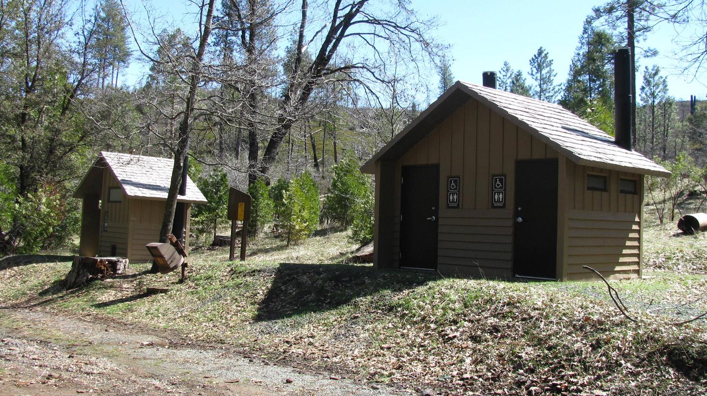
Facilities
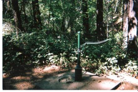
The 10 camping sites are all suited for tents. Sites 1, 7, and 8 would also accommodate tent trailers. The roads and spurs are native surface or gravel. Each site has a picnic table, food storage box and campfire ring. Drinking water and vault toilets are available.
Natural Features
At 3,100 feet in elevation, the tranquil campground sits in a mixed conifer forest with ample shade at each campsite. Nearby is the Tuolumne River, which flows for 150 miles from the central Sierra Nevadas to the San Joaquin River.
Nearby Attractions
Take a scenic drive through Yosemite and explore its legendary waterfalls. Enjoy world class fishing on the Tuolumne River or at one of the many lakes in this western Sierra Nevada location. Go hiking on one of the many nearby trails. The town of Groveland boasts many shopping and tourist activities; check with the Tuolumne County Visitors Bureau for more information.