

Directions
Phone
906-387-3700
Activities
CAMPING, HIKING, BEACHCOMBING, BACKPACKING, ACCESSIBLE SWIMMING
Keywords
Related Link(s)
Overview
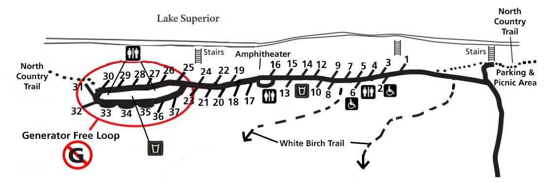
Twelvemile Beach Campground is a beautiful campground along Lake Superior located within the Pictured Rocks National Lakeshore, just 15 miles west of Grand Marais. There are 36 sites total, including 2 handicap accessible sites. Twelvemile Beach has water, pit toilets, picnic tables, fire rings, and an interpretive amphitheater. The campground has access to the North Country Trail and the two mile long self-guided White Birch Interpretive Trail. The turning radius and some of the parking at sites are limited, so the Park recommends that camper, or vehicle/trailer length should NOT exceed 42 feet.
Recreation
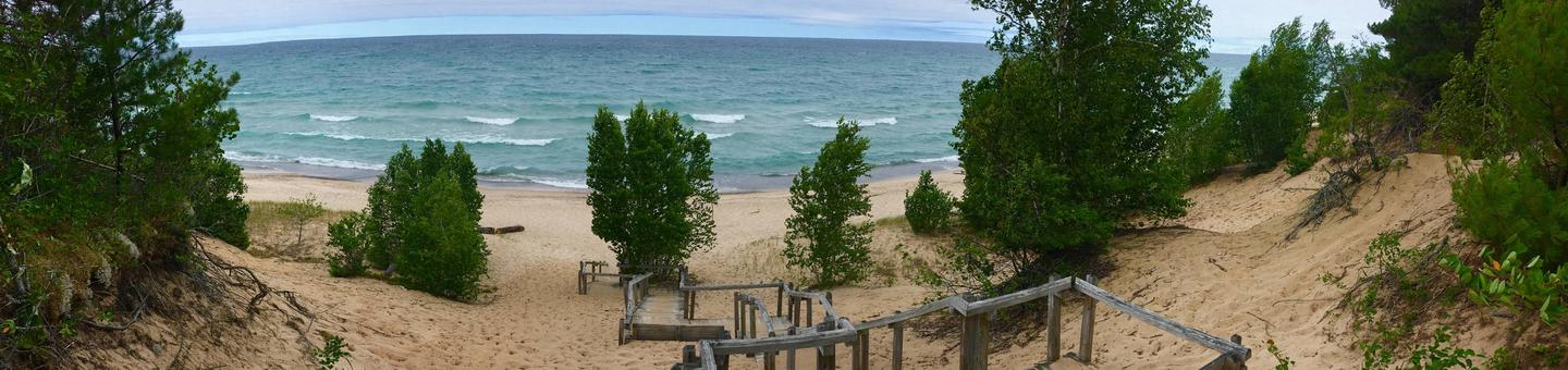
There are three sets of stairs to the beach as well as a day-use picnic area and parking. The two-mile long White Birch Trail begins and ends at the campground. The North Country Trail treks through the campground. The entrance road winds through a picturesque stand of white birch.
Facilities
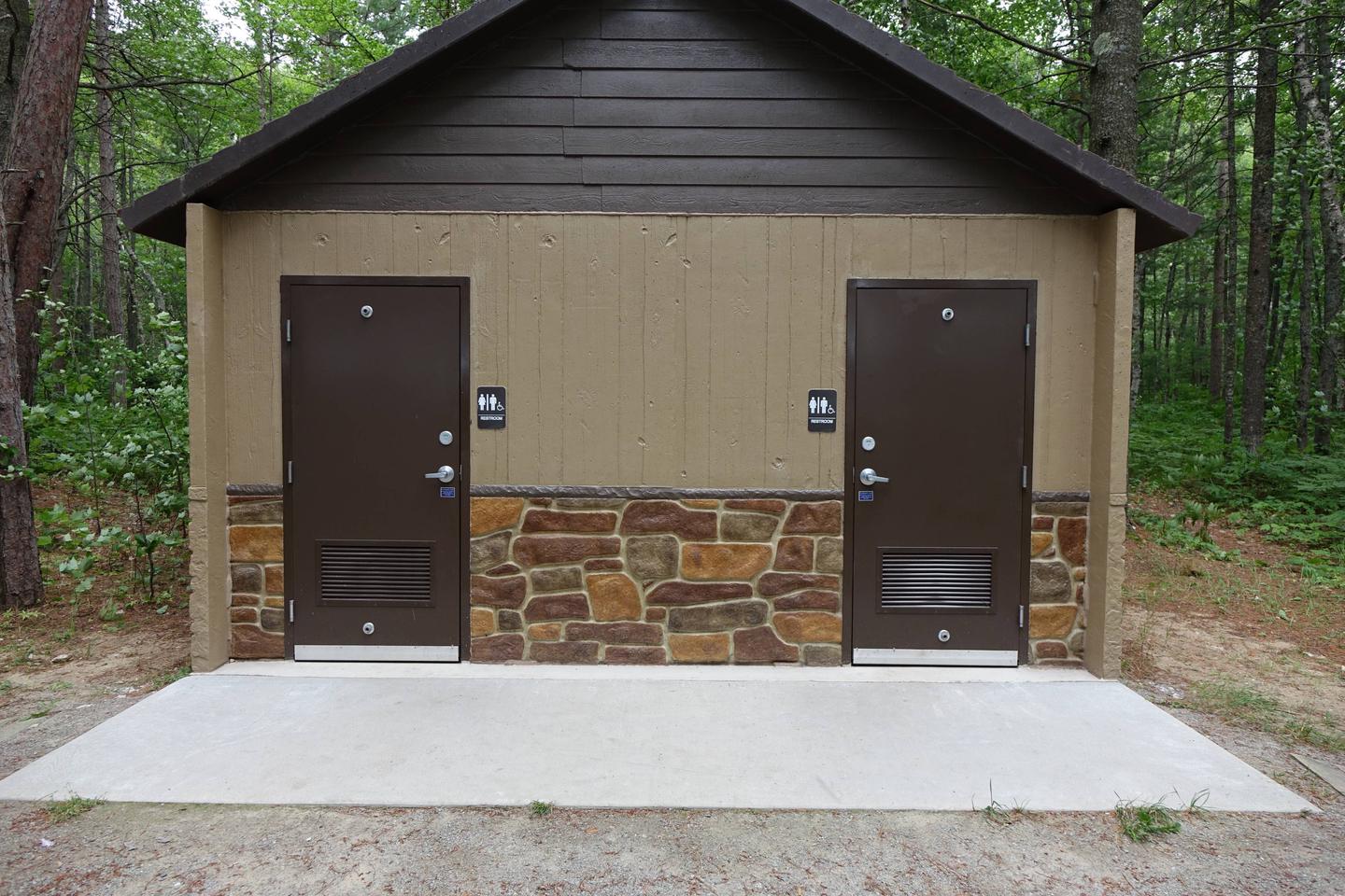
Pictured Rocks National Lakeshore drive-in campsites are rustic and do not have electric, water, or sewer hookups. Campsites provide a picnic table, fire ring with grill grate, and tent pad. The campgrounds have vault toilets and well water. Typically there is no cell phone reception.
Natural Features
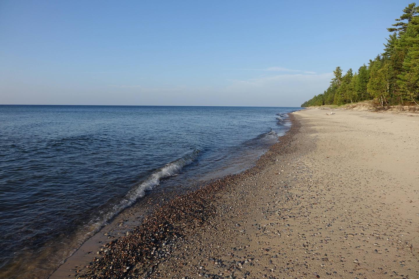
Sandstone cliffs, beaches, sand dunes, waterfalls, inland lakes, deep forest, and wild shoreline beckon you to visit Pictured Rocks National Lakeshore. The power of Lake Superior shapes the park’s coastal features and affects every ecosystem, creating a unique landscape to explore. Hiking, camping, sightseeing, and four-season outdoor opportunities abound.
Nearby Attractions
Guided kayaking and other boat tours within the national lakeshore are offered by authorized private companies. Pontoon boat and other rentals for use on Lake Superior are available in nearby communities.