

Directions
Westville Lake can be accessed from Wallace Road in Sturbridge, which is located directly off of Main St. The Dam and Recreation area can also be accessed from West St in Southbridge by taking a right onto South St.
The physical address for the Westville Lake Recreation Area is 125 Wallace Road.
Phone
978-318-8848
Activities
BIKING, BOATING, CAMPING, HIKING, WINTER SPORTS
Keywords
Westville,Westville Dam,Westville Lake,Westville Recreation Area
Related Link(s)
Massachusetts State Road Conditions
Overview
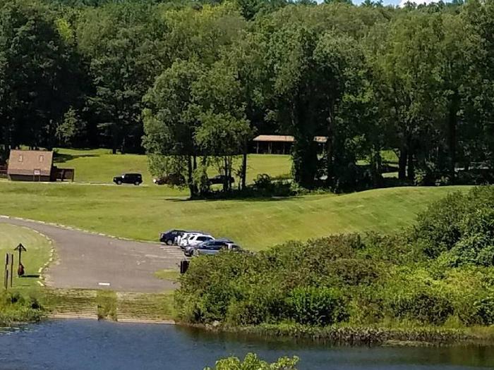
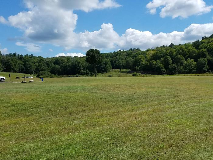
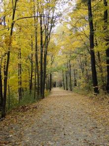
Westville Lake is situated on the Quinebaug River in the towns of Southbridge and Sturbridge, Massachusetts. Westville offers a variety of hiking opportunities, group picnic shelters, a picnic cove, a large recreation field, canoe/kayak launches, and much more.
Recreation
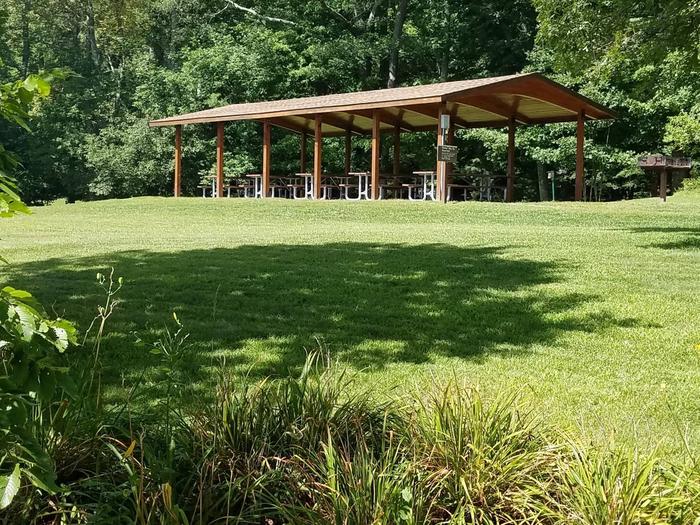
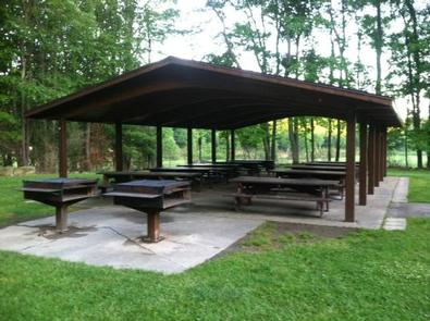
Westville Lake offers two large picnic shelters for hosting any number of events, a canoe/kayak launch into a slow current river, fishing opportunities, plenty of charcoal grills and picnic tables for everyone to enjoy, and a trail network perfect for hiking for all ages. In the winter, there is an ice skating pond in the park and perfect sledding hills!
Facilities
There are two large picnic shelters with electricity hook-ups, picnic tables, and grills available for use in the recreation area. There is a large picnic cove with many picnic tables and grills. There are also flush toilets, drinking water, and hiking trails available throughout the park.
Natural Features
The recreation area features a large open field, a picnic cove with trees for shade on those hot summer days, and beautiful waterside views for wildlife viewing.
Nearby Attractions
Explore the living history museum of Old Sturbridge Village nearby.
Charges & Cancellations
Season Dates 2020 May 16, 2020 – September 7, 2020