
Directions
From Charlotte, North Carolina , take I-77 North (approximately 60 miles) before merging onto Highway 421 North towards Wilkesboro/Boone. Continue to Exit 286B (approximately 20 miles), turn left onto Highway 268 and continue for approximately 3.5 miles. Turn right onto Reservoir Road. Continue on Reservoir Road across the dam and the shelter will be on the right. From Winston-Salem, North Carolina , take Highway 421 North (approximately 55 miles) to Exit 286B, turn left onto Highway 268 and continue for approximately 3.5 miles. Turn right onto right onto Reservoir Road. Continue on Reservoir Road across the dam and the shelter will be on the right. From Wilkesboro, North Carolina , head west on Main Street/Hwy 268/Hwy 18 (approximately 4 miles) and turn right on Reservoir Road. Continue on Reservoir Road across the dam and the shelter will be on the right.
Phone
336-921-3390
Activities
BIKING, HIKING, PICNICKING
Keywords
Fish Dam Creek Park
Related Link(s)
North Carolina State Road Conditions
Overview
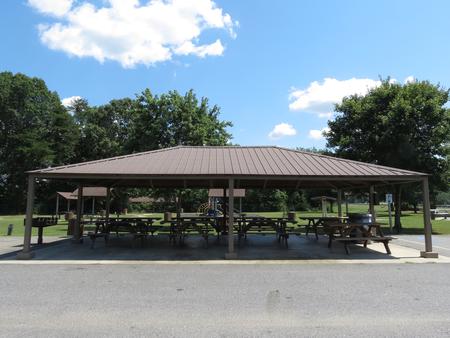
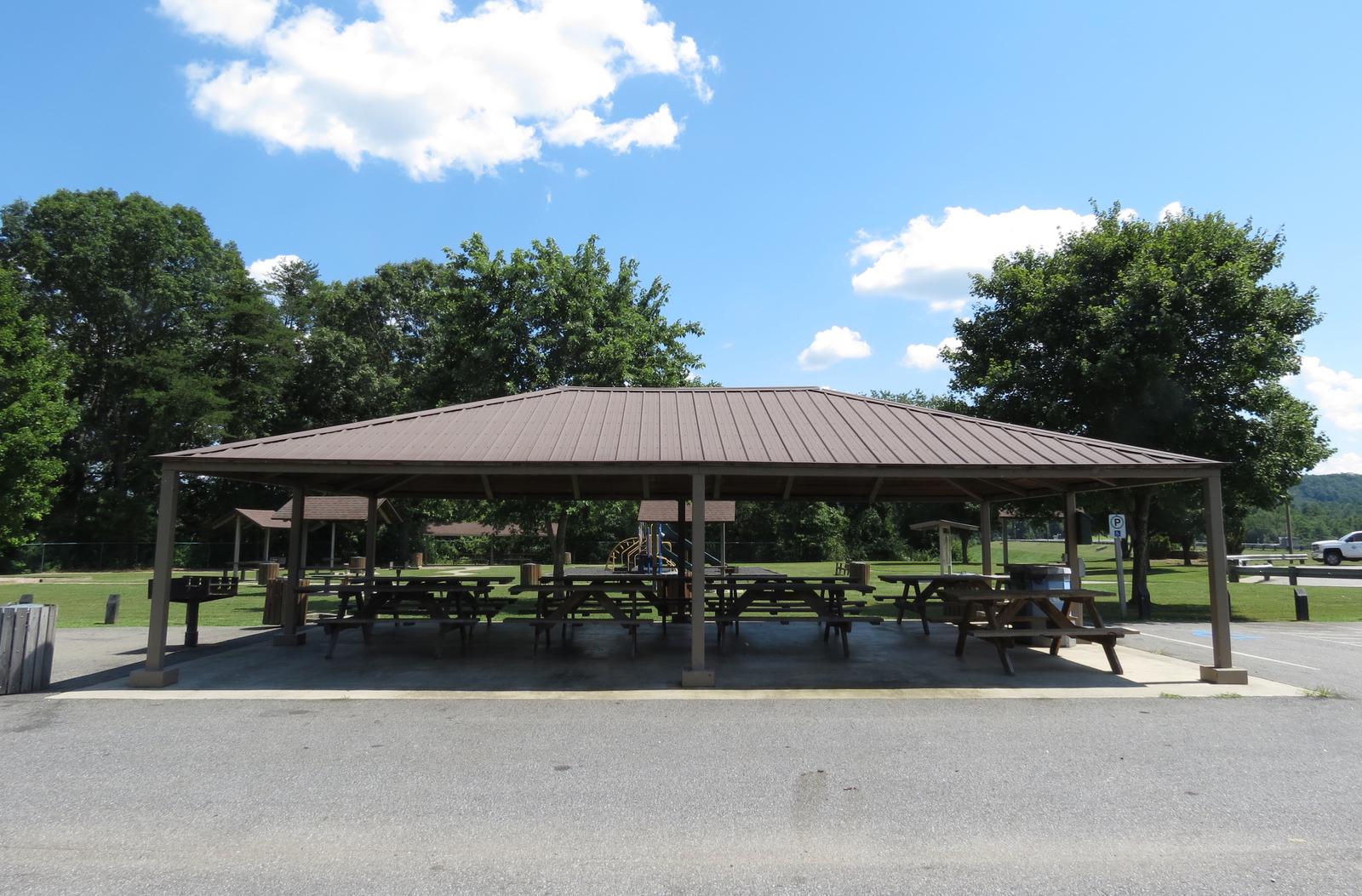
Fish Dam Creek Shelter is located directly adjacent to W Kerr Scott’s Dam. This shelter features a playground, and has a panoramic view of the reservoir.
Recreation
The 1,475-acre reservoir offers excellent boating, canoeing, kayaking and swimming opportunities. Anglers will find channel catfish, large and smallmouth bass, bluegill, threadfin shad, spotted bass, striped bass, and hybrid striped bass. Miles of multi-use trails, that allow hiking and mountain biking, surround the lake, including the Dark Mountain Trail which can be accessed from the shelter. The Warrior Creek and Overmountain Victory National Historic Trail feature an additional 25 miles of trails.
Facilities
The shelter offers eight, 8-foot picnic tables and one, 10-foot ADA-accessible picnic table. A water spigot and electric hook-ups are available at the shelter. Along with scenic views, you can enjoy other park amenities which include a playground, horseshoe pit, grill, vault toilets, hiking trails and five mini-shelters (first come-first serve).
Natural Features
The gentle Yadkin River flows through its scenic namesake valley in the foothills of the eastern Blue Ridge Mountains. Forests of mixed hardwoods, including sycamore, poplar, oak and hickory, cover the region. Wildlife is abundant in the valley. White-tailed deer, black bear, eastern cottontails and more can be found among the hills. Birds in the area include wild turkey, woodpeckers, Carolina chickadees, red-eyed vireo, ovenbirds, mallards and wood ducks.