Directions
From 23rd St (Clinton Parkway) in Lawrence, KS, go south on 59 Highway (Iowa St.), approximately 2 1/3 miles. Turn onto westbound Douglas County 458, drive for about 8 1/2 miles, turn north (right) on E 700 road, about 3/4 of a mile to the Rockhaven Park entrance.
Phone
785-843-7665
Activities
CAMPING
Keywords
Rockhaven,Rockhaven Park,Rockhaven Campground,Horse Campground,Rock Haven,Clinton Lake
Related Link(s)
Overview
Rockhaven Park is located on the south side of Clinton Lake, west of the Dam on the Rock Creek Arm of the lake. Rockhaven Park is the trailhead for the South Shore Trails (equestrian and hiking trails on the south side of the lake) and is the only place where equestrians can camp overnight with their horses and mules.
Recreation
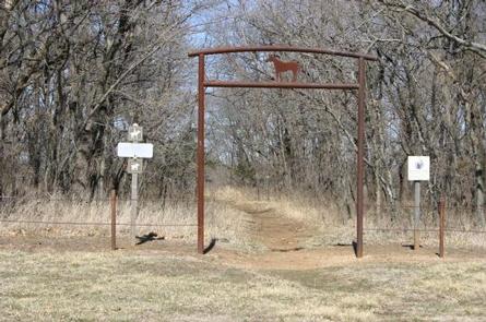
Rockhaven Park, first of all, is an equestrian friendly campground. This is Clinton Lake’s only campground that allows overnight camping with horses and mules. Approximately one-third of the campsites are open to non-equestrian campers, but two-thirds of the campsites are strictly for equestrian campers. There is a “day use only” parking lot for those who come to ride or hike for the day, but not stay overnight. Access to the South Shore Trails is located in Rockhaven Park. The main trailhead is on the north side of the campground, which is a short walk or ride from a campsite or the day use parking lot.
Facilities
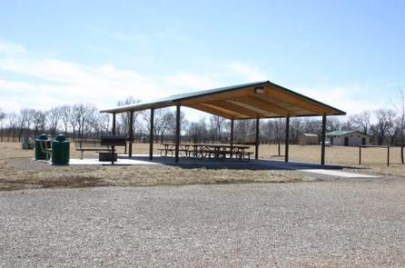
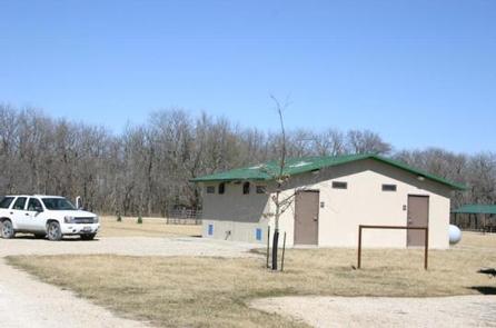
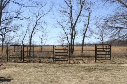
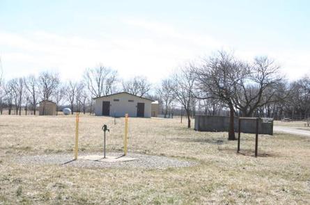
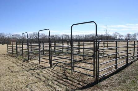
Rockhaven Park offers overnight camping for equestrian and non-equestrian campers. There are 48 campsites, 18 which have electrical service. Sixteen campsites (#6-#21) are open to any campers. A total of 32 campsites (#1-#5) and (#22-#48) are for equestrian campers only. The electric sites, #31 – # 48, can be reserved through the Reservation Service. Campsites #1 – #30 are available on a first come, first served basis, and need to be paid at the self-pay station at the entrance to the campground. Rockhaven Park amenities include a waterborne four stall shower/restroom building, a two stall vault toilet, horsehoe pits, picnic shelter, manure bunkers, several corrals, hitching posts and trail access. There are several water hydrants located throughout the campground.
Natural Features
Congress authorized Clinton Lake in 1962, and the finished reservoir was filled in 1980. While the Dam and Reservoir were originally built for flood control, the area has now become a recreational oasis for millions of visitors to enjoy the beautiful green Kansas backdrop. Clinton Lake’s beautiful setting of steep bluffs, wooded shoreline and clean water is unequaled among Kansas lakes. Shoreline development has been limited in an effort to preserve as much of the natural setting as possible.
Nearby Attractions
The Army Corps of Engineers Visitor Center, located on the northwest side of the dam, has several informative displays covering topics such as the history of the area, reasons for the dam and the wildlife in the area. The Clinton Lake Museum, located within the Bloomington East Park, has information on the history of the region and the Underground Railroad. The cities of Lawrence and Topeka are within a 30 minute drive.

