
Directions
From Roseburg, Oregon, travel east on OR-138 (North Umpqua Highway) for 39 miles to Steamboat Creek Rd., Forest Road 38 and turn left. Canton Creek Campground is 1/4 mile on the right.
Phone
541-496-3532
Activities
BIRDING
Keywords
Related Link(s)
Overview
Canton Creek Campground is a quaint little campground that sits along the banks of Steamboat Creek near the confluence with the Wild and Scenic North Umpqua River. Although small in size, it packs big fun and is easily accessible for those quick weekend getaways!
Recreation
Canton Creek Campground is in a prime location for hiking, mountain biking, fishing, and whitewater rafting, or simply relaxing at your site listening to the soothing sounds of Steamboat Creek. Or better yet, cool off in the pristine waters of the creek that is easily accessed from the campground.
The popular 79-mile North Umpqua Trail, with multiple trailheads in the vicinity, offers hikers and bikers of all abilities the opportunity to gain some serious mileage or to just take a leisurely stroll or ride.
Fly fish in the renowned Wild and Scenic North Umpqua River, alone or with a guide. Whatever you choose, there is definitely plenty of activities to keep you busy.
Facilities
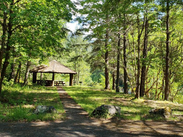
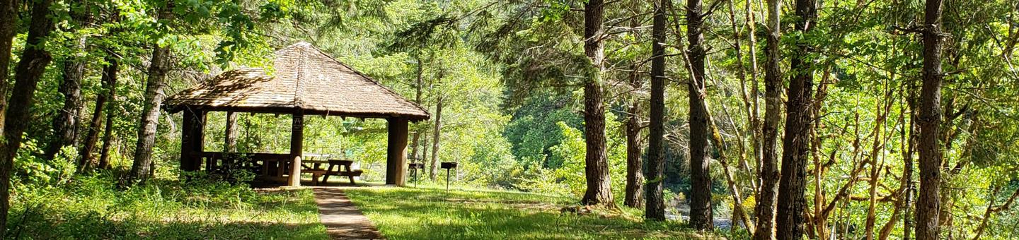
This campground has five campsites equipped with picnic tables and fire rings. A day-use only pavilion provides additional picnic tables and grills that are perfect for small groups. The small bathroom has flush toilets, but is not accessible. Day use parking is abundant for those just wishing to enjoy the site for the day or for extra vehicles staying overnight. The campground has two water spigots with potable water conveniently located at each end of the site. The entrance road and day use parking area are paved and the campsite parking spurs are native dirt/gravel. Three of the sites are creek side.
Natural Features
Visitors to the Umpqua National Forest are often taken aback by the unique landscapes of southwestern Oregon. Explosive geologic events have shaped the distinctive landscape on the nearly 1 million acre forest that provides spectacular scenery as well as an abundance of natural and cultural resources.
The translation of the word “Umpqua” meaning “thundering waters,” defines the area. High mountain lakes, heart-stopping rapids, peaceful ponds and thundering waterfalls, including the 272 foot Watson Falls on the North Umpqua Highway, offer visitors plenty of pastimes.
Diverse ecosystems support a wide range of habitat for wildlife common to the area. From eagles and owls, to salamanders and salmon, these species, along with many others, depend on surrounding undeveloped wilderness, clean streams, and diverse forests to live and thrive.
Nearby Attractions
Opportunities for biking, hiking, mountain biking, whitewater rafting, fishing, wildlife viewing, and a boat ramp are located withing 10 miles of the campground. Visitors may want to take some time to visit nearby Crater Lake National Park, the only national park in Oregon! The amazing Crater Lake area offers a glimpse into the volcanic history of the area. Experience 172 miles of diverse river and mountain landscapes along the Rogue-Umpqua National Scenic Byway. Travel from rolling oak-covered hills and towering coniferous forests, amid some of the most unique geologic features. From roaring white water rapids to inter canyon lava flows, this drive will take your breath away. The highway travels alongside the Upper Rogue and North Umpqua Wild and Scenic Rivers that contain world class fisheries.