Directions
From Roseburg, OR, travel east on OR-138 East /NE Diamond Lake Boulevard for 59 miles, turn left onto Forest Road 34. Keep left at the bottom of the hill and cross the bridge. Proceed 1.5 miles to the campground entrance on the right.
Phone
541-498-2531
Activities
BOATING, FISHING, HIKING, WILDLIFE VIEWING, SWIMMING, CANOEING
Keywords
Toketee Reservoir
Related Link(s)
Overview
The North Umpqua Wild and Scenic River pauses at Toketee Lake providing a secure home for a wide variety of wildlife. Here beaver and otter make their homes. Great blue heron and kingfishers are joined in fall and winter by ducks, geese, and bald eagles.
Recreation
Many people enjoy some of the state’s best German brown trout fishing. Currently Toketee Lake is 2-3 feet lower than the boat ramp, so small non-powered boats are best. Toketee group site is located next to one of the trailheads for the famous North Umpqua Trail. This trail is a favorite for hiking, biking and horseback riding.
Facilities
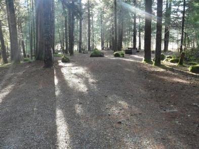
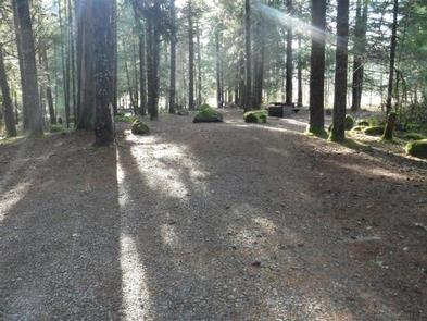
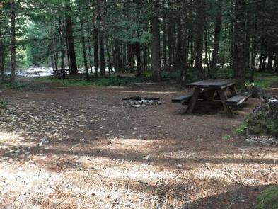
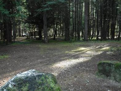
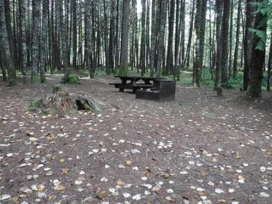
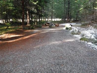
Toketee Lake Campground is a dry campground with vault toilets. The campground is close to the group site, should you need more space. Sites are, for the most part, level with room for both tent and RV campers. There are 32 sites, 15 are reservable (B loop) and the rest (A loop) are available on a first-come first-serve basis.
Natural Features
This campground offers a picturesque spot for families to relax and slow down. Lined with willow and mixed with maples and alders, this section of the river is very tranquil. The nearby footbridge offers great views of the river and lake.
Nearby Attractions
There are two spectacular waterfalls within a five-minute drive of the site. Watson Falls is 272 feet high and has a short trail to the base of the falls. During wetter months be prepared to get a cool shower of fresh mountain water. Toketee Falls is an amazing two level falls flowing out of a basalt column wall. The viewing platform is less than a half mile down the trail. If you need a little faster paced recreation, there is the North Umpqua Trail. This is a very popular trail for mountain biking. Many bikers use Toketee as a base camp for exploring the North Umpqua Trail.

