
Directions
Located 37.3 miles east of Oakridge, Oregon. From Oakridge, Oregon: At the intersection of Crestview Street and Oregon State Highway 58, travel east on Highway 58 for 23.3 miles. Turn left on the Waldo Lake Road/Forest Road 5897. Travel for 12.8 miles and turn left at the T intersection on Forest Road 5898. Travel for 1.2 miles and the destination will be on your right.
Phone
801-226-3564
Activities
BIKING, HIKING, SWIMMING, CANOEING, SAILING
Keywords
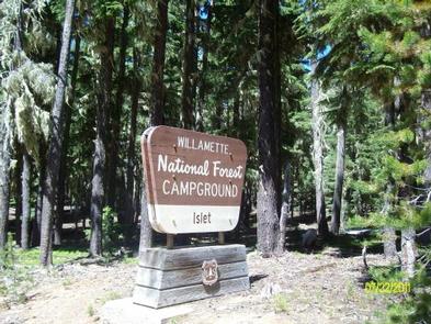
Waldo Lake
Related Link(s)
Overview
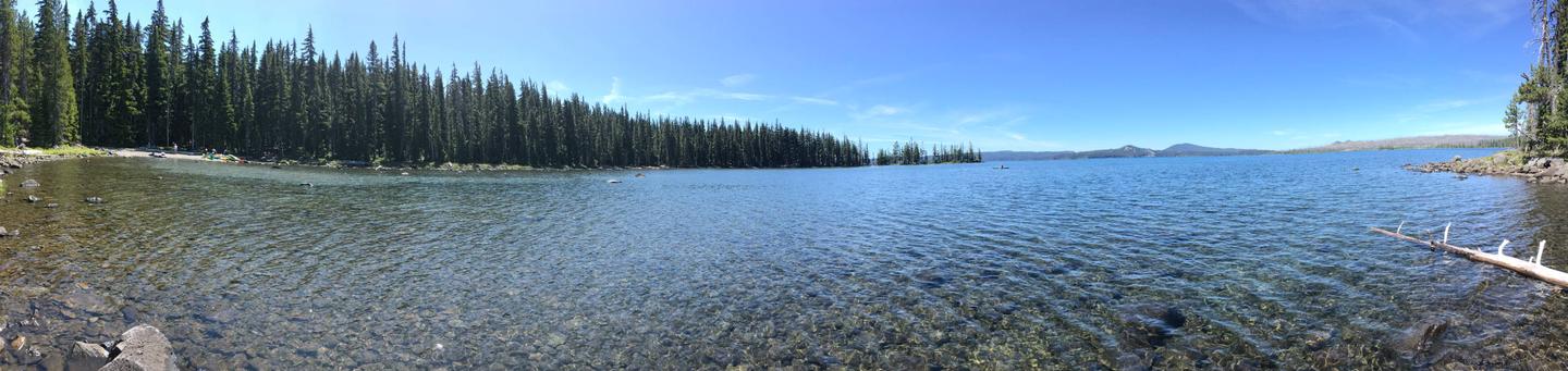
Waldo Lake is one of the largest natural lakes in Oregon. It offers a uniquely peaceful setting on the water and along remote shorelines, surrounded by forests of Douglas fir and mountain hemlock. Recreation in the area is abundant with the lake an ideal location for water activities like sailing, canoeing and swimming.
Recreation
Waldo Lake is circled by the Jim Weaver Loop, 22 miles of trail for hiking and biking. Bikes are allowed on the trails, but not in the nearby Waldo Lake Wilderness. There is also easy access to the Pacific Crest Trail.
Facilities
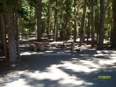
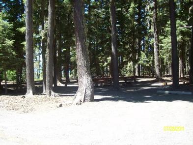
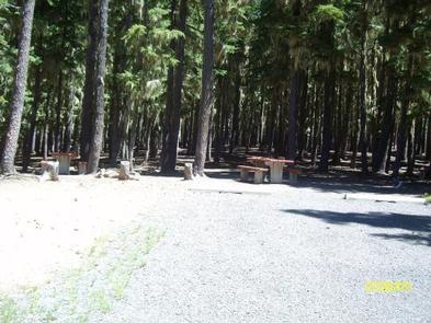
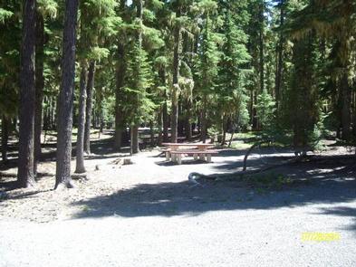
This 55 site campground is located at the north end of Waldo Lake, just south of North Waldo Campground, 31 sites are reservable. Each site has a fire ring and picnic table. There are three vault restrooms within the campground and another at the boat launch/day use area. Islet offers wonderful sandy beaches. Western winds consistently blow each afternoon, offering respite from early season mosquitoes, which are typically intense from June to mid-August so come prepared.
Natural Features
Situated high on the western slopes of the Oregon Cascades at 5,400 feet in elevation, Waldo Lake is one of the purest lakes in Oregon (9.8 square miles with a maximum depth of 427 feet). It has no permanent inlet to bring nutrients into the lake for plant growth. The lack of plant life contributes to its purity, allowing you to see to depths of 120 feet on a calm day.
Nearby Attractions
The north end of Waldo Lake is a popular starting point for many wilderness trails and lakes, most notably the Rigdon, Wahanna and Torrey Lakes. The 1-mile Shoreline Trail between Islet and North Waldo campgrounds provides a short and pleasant hike along the lakeshore.