
Directions
From the center of Moab (at Center and Main) head south to Kane Creek Road. Turn right (west) on Kane Creek Road and drive 3.5 miles. You will see the Moonflower Campground on the left just past the King’s Bottom Campground.
Phone
(435)259-2100
Activities
BIKING, HISTORIC & CULTURAL SITE, CAMPING, HIKING, OFF HIGHWAY VEHICLE, MOUNTAIN BIKING, OFF ROAD VEHICLE TRAILS
Keywords
Related Link(s)
Overview
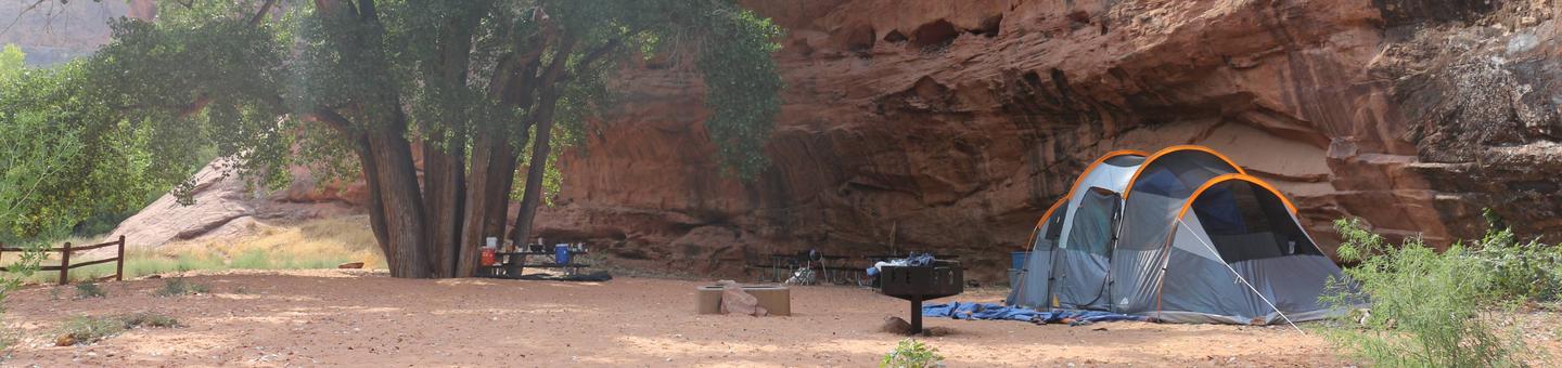
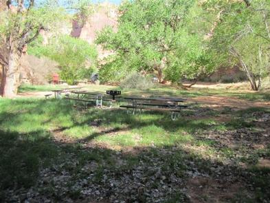
Moonflower Canyon Group Site offers shade year-round and is ideal for small family or groups in tents. No RVs, tent trailers or campers/camper vans are allowed. Within close proximity to national parks and open space, outdoor enthusiasts will enjoy hiking, mountain biking, and four-wheel drive tours in the surrounding area. The town of Moab is approximately 10 minutes away and has dining, shopping, sports rentals, tour companies and museums.
Recreation
This popular site is near Moab and close to hiking, mountain biking and four-wheel driving opportunities. Kane Creek Road is a popular 4WD and OHV route.
Facilities
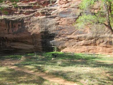
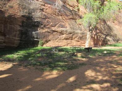
The group site has a fire ring/grate, picnic tables and vault toilets. Trash collection is located at nearbly Kings Bottom campground. The group site does not have water, dump stations or electric hook-ups. No RVs, tent trailers or campers/camper vans allowed.
Natural Features
Moonflower is located at the mouth of a shady canyon and a popular, short hiking trail leads to a cool oasis. Large cottonwoods provided ample shade. Historic and pre-historick rock images are on nearby canyon walls. Please do not mark or scratch on rock surfaces.
Nearby Attractions
There are many hiking, mountain biking and four-wheel drive trails along Kane Creek Road. The site is about 15 minutes from Arches National Park and 45 minutes from Canyonlands National Park.