
Directions
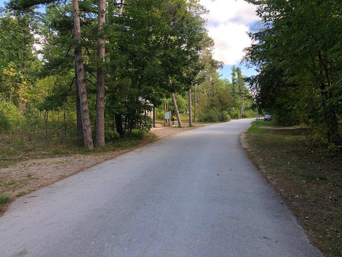
From Empire, MI: Drive north on M-22 for 2 miles to the intersection of M-109, turn left onto M-109, continue for another 5.3 miles (past the Scenic Drive, Dune Climb & entrance to the D.H. Day Group Campground), the entrance to the campground will be on your left.From Glen Arbor, MI: Drive west on M-109 for 1.4 miles, the entrance to the campground will be on your right.
Phone
231-326-4700 ext 5035
Activities
AUTO TOURING, BIKING, CAMPING, INTERPRETIVE PROGRAMS, FISHING, HIKING, RANGER STATION, CANOEING, BEACHCOMBING, BIRDING, WATER ACCESS, EVENING PROGRAMS, SCENIC DRIVE
Keywords
DH Day Campground,Day Campground,DH Day,DHD
Related Link(s)
Overview
D.H. Day Campground is located in the northern district of Sleeping Bear Dunes National Lakeshore, on the lower peninsula of Michigan.
CLICK HERE TO ACCESS A MAP OF D.H. DAY CAMPGROUND: https://www.nps.gov/slbe/planyourvisit/dhdaycamp.htm
This rustic campground is one of the most popular in Northern Michigan and is open (weather permitting) from the first Friday in April through the last Sunday in November. Reservations are required May 1 through October 15. Campsites are within walking distance of the Lake Michigan shoreline and a short drive to many popular features in the park. Summer temperatures range from the upper 70s to 90s during the day, and 50s to 70s at night.
Recreation
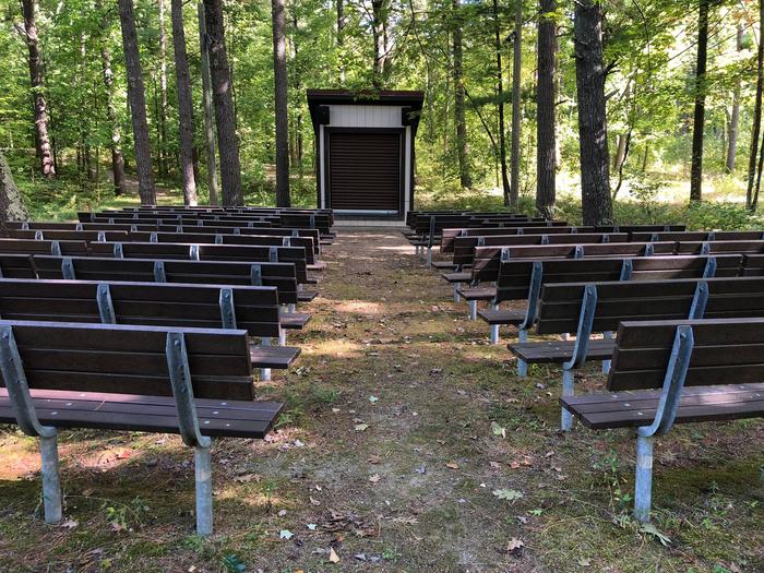
Sleeping Bear Dunes National Lakeshores rustic D.H. Day Campground is beautifully wooded. Campers can swim, canoe, kayak, fish and relax along the shoreline of the campground. The multi-use Sleeping Bear Heritage Trail passses through the campground opening up 20+ miles of biking and hiking. There are canoe and bicycle rentals nearby in the village of Glen Arbor. The historic village of Glen Haven is a short 15 minute walk away. Miltiple hiking trails, the Dune Climb, and the Pierce Stocking Scenic Drive are just a short drive away. D.H. Day Campground is the perfect launching point for a fun-filled stay at Sleeping Bear Dunes National Lakeshore.
Facilities
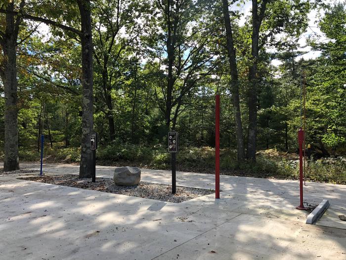
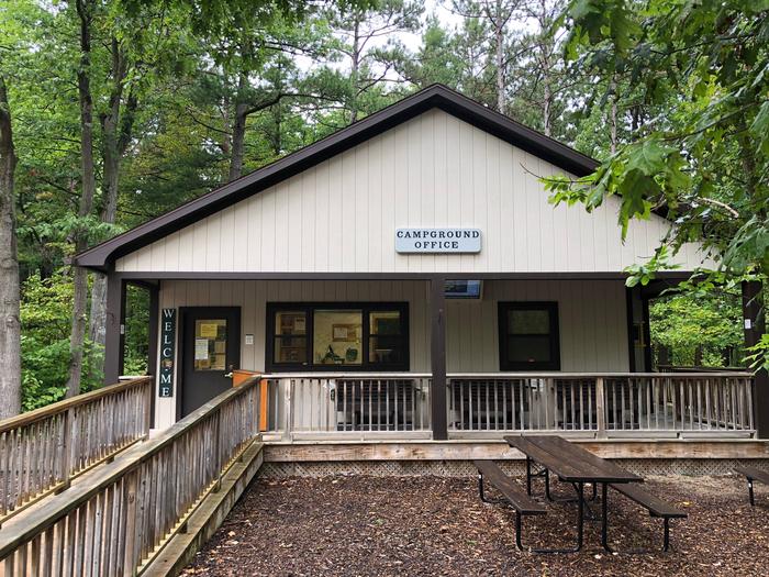
With 81 beautifully wooded campsites, shared water spigots, and vault toilets, D.H. Day provides a more rustic camping experience. Free hot showers are available at Platte River Camground, located 17 miles south along highway M-22. Each campsite has a parking area, large picnic table, fire ring and tent pad. Firewood is also sold in the campgound via a self-serve vending trailer.
Natural Features
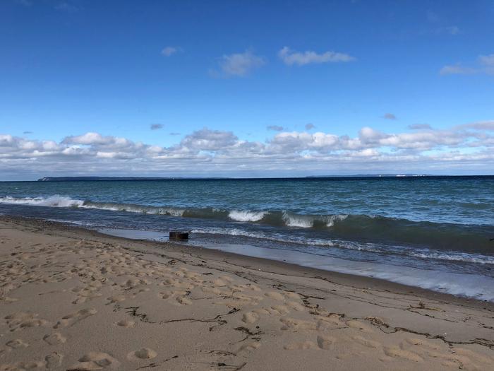
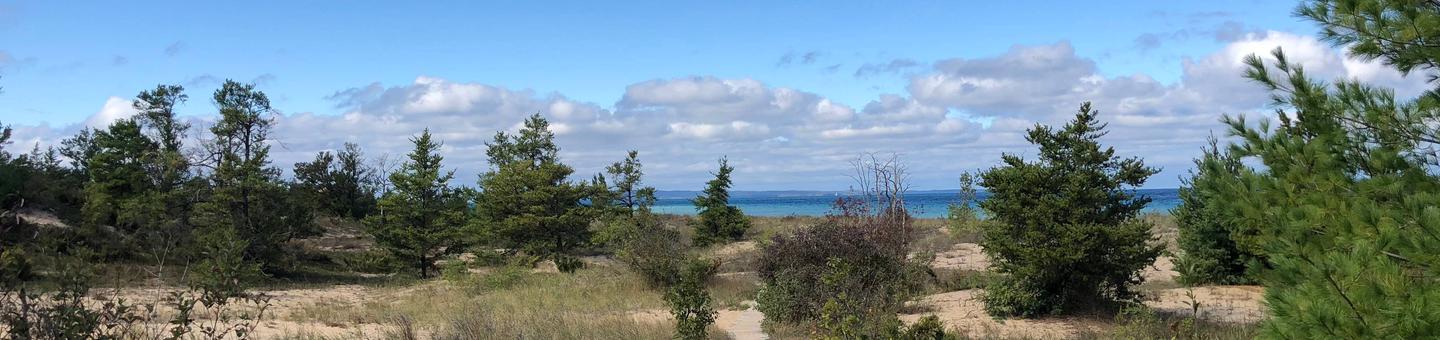
D.H. Day Campground lies in the middle of Sleeping Bear Dunes National Lakeshore near the historic village of Glen Haven. The spacious wooded campsites are no more than a 5 minute walk to the Lake Michigan beach. Features include northern hardwood and conifer forests, old farm meadows, wetlands, lakes, streams, bogs, and splendid examples of glacially formed landscapes. The beautiful perched sand dunes, for which the parked is named, are just a few minutes drive from the campground.
Nearby Attractions
D.H. Day Campground is within minutes of the lakeside Village of Glen Arbor and the Historic Village of Glen Haven. The Dune Climb and Pierce Stocking Scenic Drive are a short drive to the south. The Alligator Hill Trail is less than a mile away. The Crystal River winds its way to Lake Michigan just a few short miles to the north. The harbor town of Leland is approx. 30 minutes away and is the gateway to both North and South Manitou Island.