POINT CAMPGROUND - DESCHUTES, Oregon Campground Reservation, Info, Images, Map, Directions

POINT CAMPGROUND – DESCHUTES, Oregon Campground Images, Info & Reservations

Directions

From Bend, OR: Travel about 34 miles west on County Road 46 (Cascade Lakes Hwy).

Phone

541-323-1746

Activities

CAMPING

Keywords

Related Link(s)

Rec Area Info & Images

Oregon State Road Conditions

Oregon State Tourism

Overview

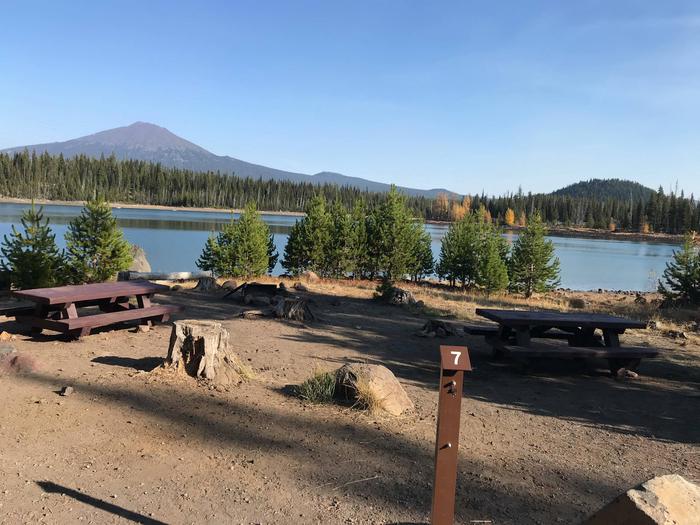
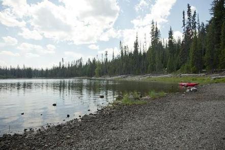
Located next to Elk Lake, Point Campground provides access to fishing, boating and swimming.

Recreation

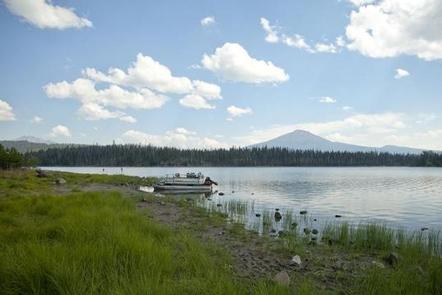
 Elk Lake allows both motorized and non-motorized boating which provides the opportunity for swimming, fishing, windsurfing and water skiing. 

Facilities

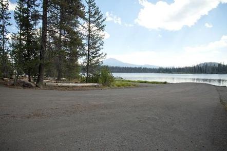
Point Campground can accommodate RV, trailer or tent-campers, however, electric hookups are not available. All sites are equipped with a picnic table and campfire ring with grill and the campground has drinking water and vault toilets available. This campground also features a boat ramp to provide access to Elk Lake.

Natural Features

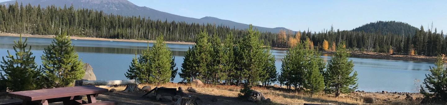
Elk Lake offers visitor’s views of Mt. Bachelor and South Sister from various points around the shoreline. Wetlands, diverse forests and rocky slopes near the campground provide habitat for shorebirds, porcupine, deer, bats and the occasional black bear.

Nearby Attractions

Visitors can explore wilderness areas, rivers, lakes and reservoirs, and approximately hundred of miles of trail. Newberry National Volcanic Monument, approxiately 45 minutes by vehicle, is a great starting point for visitors to learn about the diverse landscape and history of the area through interpretive programs and exhibits. Visitors can explore Lava River Cave, the longest continuous lava tube in Oregon. Visitors enjoy traveling the Cascade Lakes Scenic Bywaywhich climbs 66 miles through the Cascade Range, weaving past snow-capped peaks and alpine lakes.

Reservation

More from CampingHiking.net:

CLARKS HILL, South Carolina Campground Images, Info & Reservations

Directions Located off US 221, approximately 1 mile west of Clarks Hill, SC. Phone 800-533-3478 Activities BOATING, FISHING, PICNICKING, DAY USE AREA, SWIMMING SITE, SWIMMING, WATER ACCESS Keywords CLAH,J STROM THURMOND LAKE Related Link(s) Rec Area Info & Images South Carolina State Road Conditions South Carolina State Tourism Overview Clarks

BUCK PARK CABIN, Idaho Campground Images, Info & Reservations

Directions From Council, drive 12 miles northwest on the paved Council-Cuprum Road 002, then 12 miles southwest on the gravel Buck Park Road 055 (high-clearance vehicles are necessary for passage). Continue 0.2 miles south on Buck Park Spur. Expect large rocks and a narrow, one-way road. Buck Park is a

Miller River Group Camp, Washington Campground Images, Info & Reservations

Directions From I-5 north, take exit 194 to Highway 2. Continue for about 48 miles, then turn south at the Money Creek Campground sign. Continue about 3 miles to the campground. Phone 360-804-1103 Activities BIKING, CAMPING, FISHING, HIKING, WILDLIFE VIEWING Keywords MILR,MT. BAKER-SNOQU NF – FS Related Link(s) Rec Area

WINNIE DAM CAMPGROUND, Minnesota Campground Images, Info & Reservations

Directions From Deer River, Minnesota, take Highway 2 west for one mile. Turn right on Highway 46 and go 12 miles. Turn left on Itasca County 9 and continue 2 miles, then turn left at signs and follow to the campground. Phone 218-326-6128 Activities CAMPING Keywords LAKW,WINNI DAM CAMPGROUND,WINNI CAMPGROUND,MISSISSIPPI