
Directions
From the Intersection of US-2 and Forest Highway 13 (about 14 miles east of Rapid River), drive north 8.4 miles on Highway 13 to CR 442. Turn right (east) and drive 8 miles to FR 2218. Turn left (north) and drive 1.6 miles to FR 2218EA or 0.8 mile to FR 2218G.
Phone
906-474-6442 OR 906-387-2512
Activities
CAMPING
Keywords
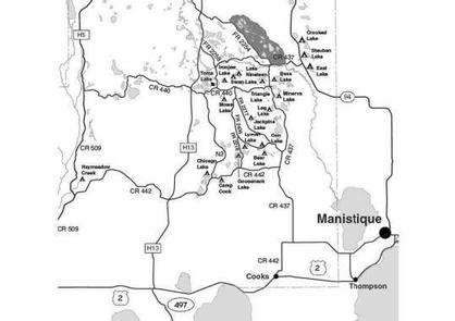
Dispersed campsites,Manistique,Rapid River,lyman lake,swan lake,bass lake,bear lake,camp cook,carr lake,chicago lake,clear lake,crooked lake,east lake,gooseneck lake,ironjaw lake,jackpine lake,lake nineteen,leg lake,little bass lake,minerva lake,mowe lake
Related Link(s)
Michigan State Road Conditions
Overview
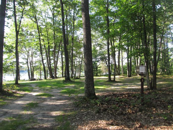
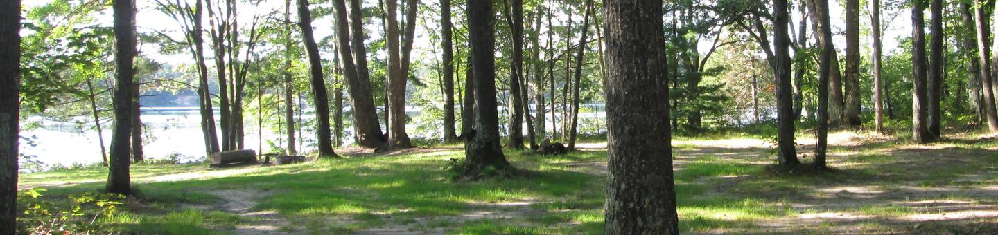
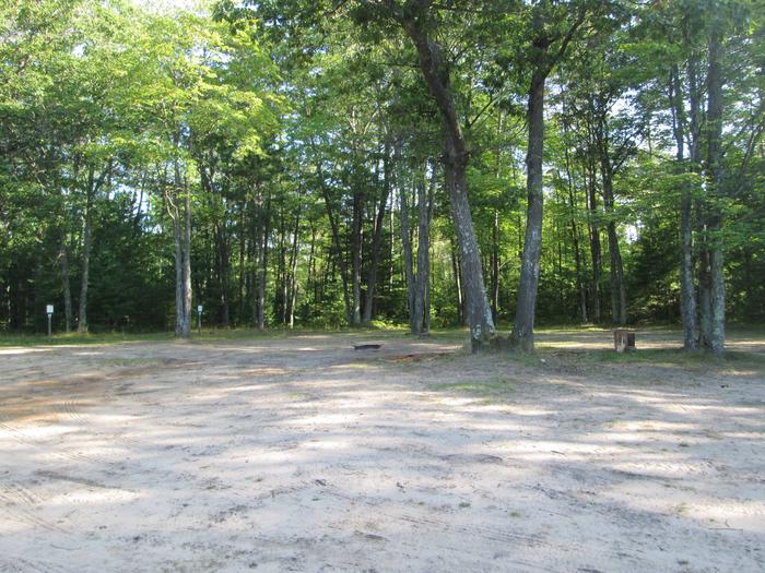
The campsites on the Rapid River/Manistique Ranger District are located on inland lakes and are in a rustic forest environment with few, if any amenities. The rustic environment offers a wonderfully serene and peaceful setting for your next camping experience.
Recreation
Visitors will be able to enjoy swimming, berry picking, and fishing at these dispersed campsites. Licenses are required for fishing in Michigan waters. Some of these campsites offer only one site on these inland lakes allowing for a very peaceful and wilderness-like experience.
Facilities
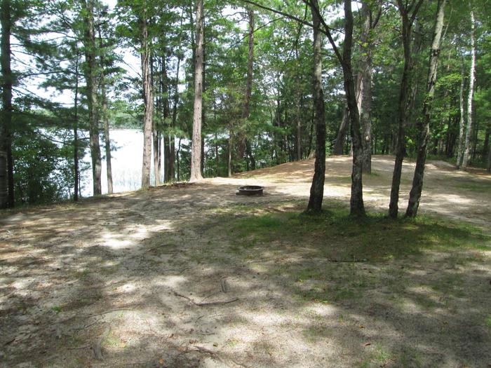
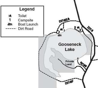
Gooseneck Lake is an extremely busy lake, with private lands and cottages surrounding most of this 123 acre lake. As a result, pontoon boats, jet skis and water skiers and even occasional fishing boats can be seen and heard on the lake. There is no drinking water available at these campsites. There are three primitive campsites on Gooseneck Lake. Site #1 is set back in the trees and although not too large, is very nice. It is 40 ft. by 30 ft. with rough road access. It is suitable for a single family, but trailers are not recommended. Swimming from site #1 is not recommended. A primitive toilet is located at this site and is shared with those using the boat launch. Site #3 is an excellent camping area at the top of a small, sandy bank. It is an open area 100 ft. by 70 ft. in size. The access is good and this site is suitable for two families and trailers. A primitive toilet is located at this site. Swimming is good, however the shoreline cannot be seen because of the high bank. Site #4 is located on the south side of the lake. This site is 70 ft. by 45 ft. and can accommodate one family. The access road is firm but very narrow with sharp turns. Trailers are not recommended at this site due to very limited turn-around space. Swimming is good. An improved public boat access is located near Site #1. A toilet is nearby which is shared with site #1. The lake offers a fishery for walleye, large and smallmouth bass, rock bass, sunfish and northern pike. Lake Name Number of Sites Maximum number of people per site Toilets Boat Access Lake Size (acres) Gooseneck Lake 3 Sites 1 and 4 (8) Site 3 (16) Yes Back in 123
Natural Features
All of these sites are nestled in hardwood trees and pines. All of them are on small inland lakes, which offer a wide variety of fishing opportunities. There is one exception; Camp Cook, which is close to the Fishdam River and provides opportunities for good brook trout fishing.
Nearby Attractions
There are a number of horse, bike, and hiking trails within minutes of several of the sites. In over a mile from these campsites, visitors can expect to find: bait shops, general and grocery stores, gas, a pay phone, trailheads, a fishing pier, biking, and kayak/canoe rentals.