
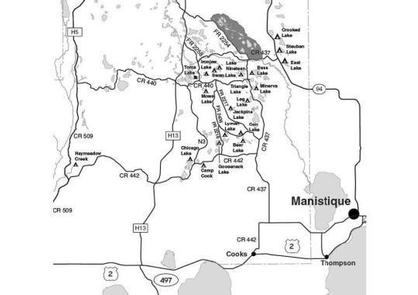

Directions
From Manistique drive north on M-94 27 miles to FR 2554. Turn right (east) on 2554 and drive to site #1.
To reach site #2, drive 27.5 miles from Manistique to FR 2662. Turn right (east) on FR 2662 and follow it and FR 2662A to site #2.
Phone
906-474-6442 OR 906-387-2512
Activities
CAMPING
Keywords
Dispersed campsites,Manistique,Rapid River,lyman lake,swan lake,bass lake,bear lake,camp cook,carr lake,chicago lake,clear lake,crooked lake,east lake,gooseneck lake,ironjaw lake,jackpine lake,lake nineteen,leg lake,little bass lake,minerva lake,mowe lake
Related Link(s)
Michigan State Road Conditions
Overview
The campsites on the Rapid River/Manistique Ranger District are located on inland lakes and are in a rustic forest environment with few, if any amenities. The rustic environment offers a wonderfully serene and peaceful setting for your next camping experience.
Recreation
Visitors will be able to enjoy swimming, berry picking, and fishing at these campsites. Licenses are required for fishing in Michigan waters. Some of these campsites offer only one site on these inland lakes allowing for a very peaceful and wilderness-like experience.
Facilities
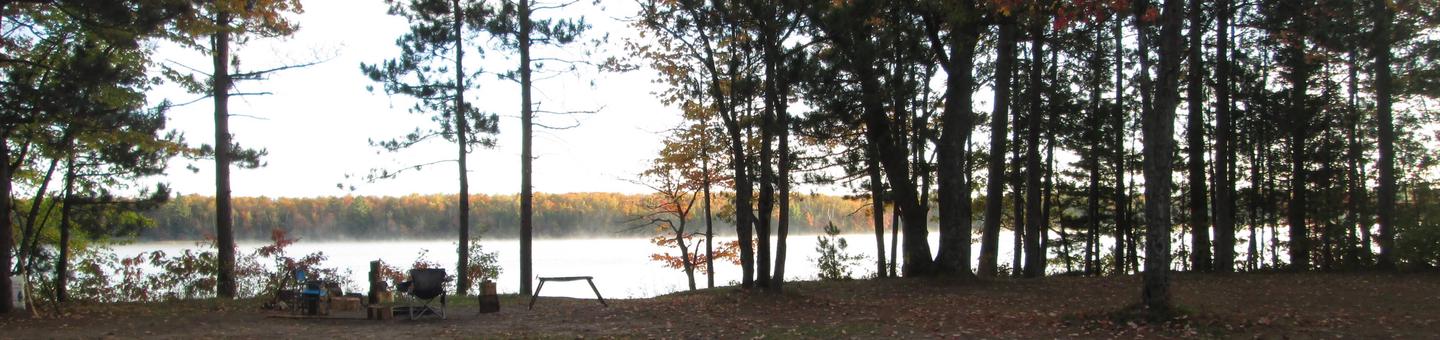
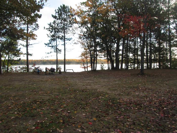
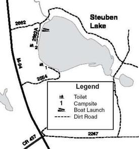
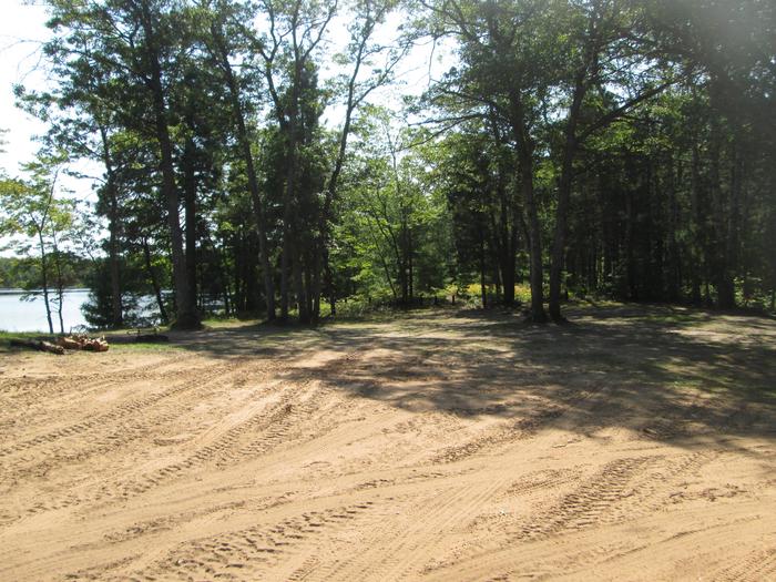
There are two primitive campsites located on the 151 acre Steuben Lake. There is no water available at this site. Site #1 is a large, wooded campsite, 75 ft. by 75 ft., suitable for three families and trailers. It is located on the west side of the lake and can be reached by Forest Road 2554. A primitive toilet is located at this site. Site #2 is a large, open area, 70 ft. by 50 ft., suitable for two families and trailers. It is located on the west side of the lake on the top of a small hill. A stairway has been constructed to provide access to the lake. This site can be reached from Forest Road 2662A. A primitive toilet is located at this site. There is good swimming at both sites, but because of the hill at site #2, the beach area is difficult to see from the campsite. There is a good boat access located in the northwest corner of Steuben Lake, along Forest Road 2662. This access can accommodate most fishing boats and trailers. Steuben Lake has been stocked with walleye and has supporting populations of northern pike, largemouth bass, bluegill and perch. Gasoline, groceries, fishing and camping supplies, boat rentals, ice and MDNR licenses are available at Steuben, approximately two miles west on County Road 437. Lake Name Number of Sites Maximum number of people per site Toilets Boat Access Lake Size (acres) Steuben Lake 2 Site 1 (24) Site 2 (16) Yes Back In 151
Natural Features
All of these sites are nestled in hardwood trees and pines. All of them are on small inland lakes, which offer a wide variety of fishing opportunities. There is one exception; Camp Cook, which is close to the Fishdam River and provides opportunities for good brook trout fishing.
Nearby Attractions
There are a number of horse, bike, and hiking trails within minutes of several of the sites. In over a mile from these campsites, visitors can expect to find: bait shops, general and grocery stores, gas, a pay phone, trailheads, a fishing pier, biking, and kayak/canoe rentals.