
Directions
Go east from Cedar City on Scenic Byway SR 14, 25 miles to the Navajo Lake road turnoff to the south. Follow the Navajo Lake road 5 miles to Navajo Lake campground.
Phone
801-226-3564
Activities
BIKING, BOATING, CAMPING, FISHING, WILDLIFE VIEWING, SWIMMING SITE, PHOTOGRAPHY, KAYAKING, CANOEING, WATER ACCESS
Keywords
Related Link(s)
Overview
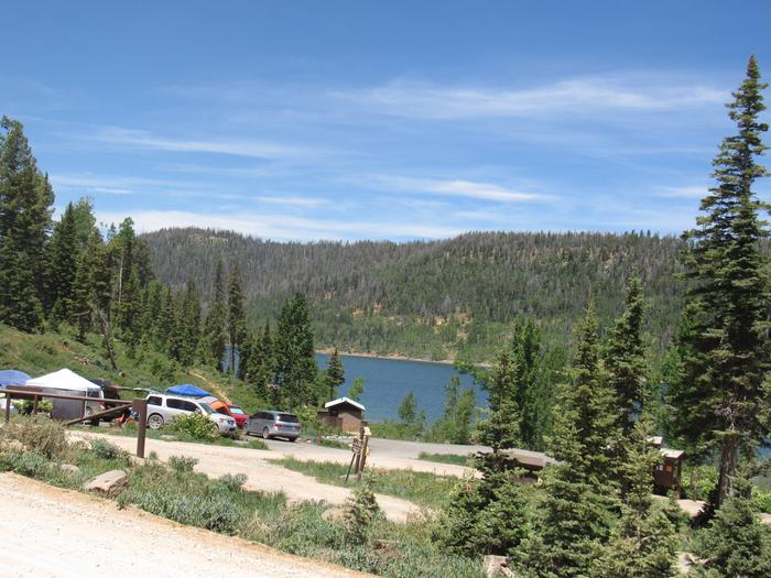
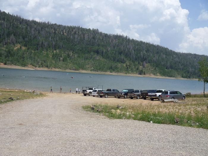
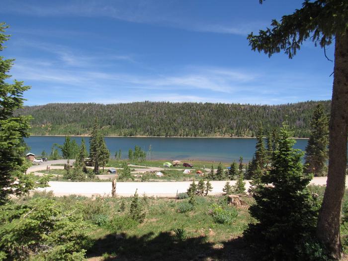
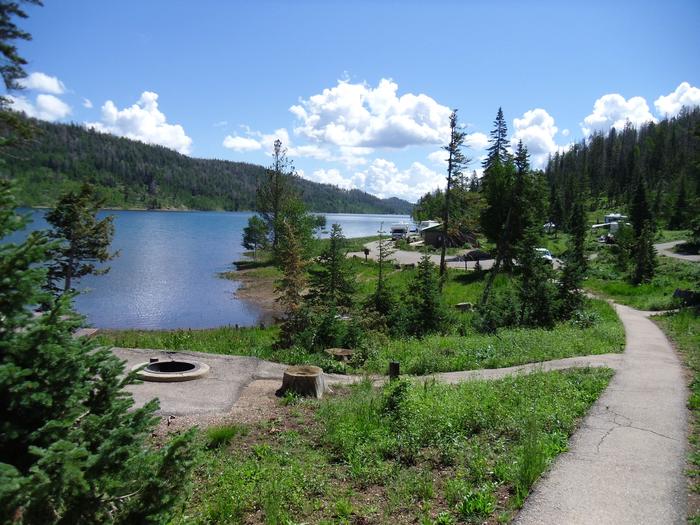
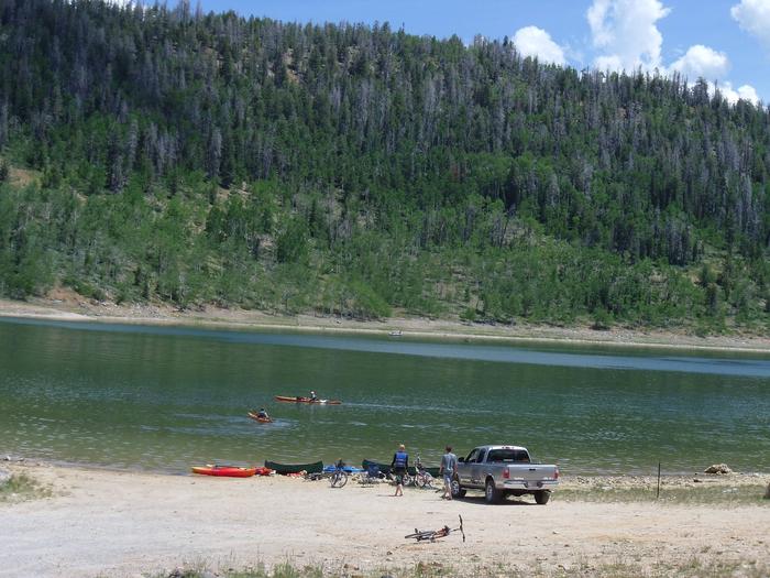
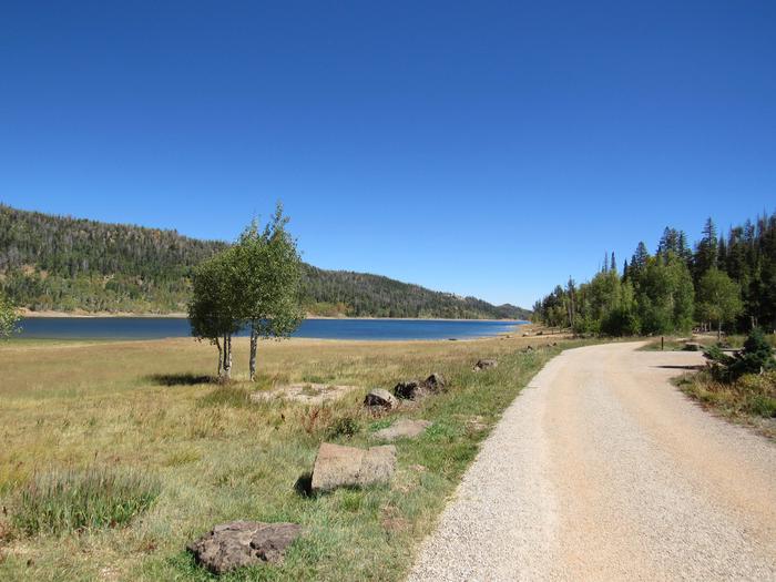
Navajo Lake Campground, located on the south shore of Navajo Lake, it provides a spectacular setting for boating, camping, fishing, hiking, biking and photography. Boat rentals, launching, and cabin lodging are available at nearby Navajo Lake Lodge. The Virgin River Rim Trail is accessible from the campground; it offers panoramic views of Zion National Park, Virgin River Rim and the Kolob Plateau.
Recreation
Navajo Lake offers great canoeing, kayaking and fishing. Hiking and biking are popular activities as well. The 32-mile Virgin River Rim Trail passes a short distance from the campground and is open to hiking, mountain biking, foot travel and horseback riding. The Navajo Lake loop trail is accessed from the campground on the Navajo Lake trail. The Navajo Lake Loop trail is very popular with cyclist and is an 11 mile loop.
Facilities
Navajo Lake Campground features 15 single sites, one double site and 11 walk-in tent only sites. Each site has a fire ring and a picnic table. Drinking water is available through spigots, there are flush toilets and a accessible vault toilet. This is not a large campground but the coziness is what makes it a very special place as you see the sun come up over the lake. There is a primitive (dirt) boat landing located within the campground for smaller vessels.
OHV/ATVs including street legal are allowed for ingress and egress (to and from your campsite to the road) only. Joy riding is not allowed in the campground or on the beach.
Natural Features
Navajo Lake dike was constructed many years ago to provide area visitors with an excellent recreational experience that provides fishing and boating for all ages. The dike is a very popular place to catch fish in the deeper waters if you are fishing from shore. Water travels from under the the lake through a 2 mile lava tube and exits at what is called Cascade Falls. Cascade Falls is a must see trail that follows the rim 3/4 miles to the falls.
Nearby Attractions
Boat rentals, a boat dock, rustic cabin lodging is available at nearby Navajo Lake Lodge. Duck Creek Pond is seven miles east, with excellent fishing. The Duck Creek Visitor Center was used years ago as an Ranger Station in the 1930’s through the 1960’s although some of the buildings have been removed the Visitor Center still stands and is managed by volunteers that can porvide you with all the area informaion you would like. For OHV trail information see the Dixie National Forest website. Cedar Breaks National Monument is 10 miles away, with hiking trails, guided tours and breathtaking scenery. Just outside Cedar Breaks is the Ashdown Gorge Wilderness Area, where hikers will find miles of trails and the Twisted Forest which is a stand of ancient bristlecone pine.