Directions
Take I-25 north from El Paso, Texas, about 125 miles.
Phone
575-744-5923
Activities
BIKING, BOATING, HISTORIC & CULTURAL SITE, CAMPING, INTERPRETIVE PROGRAMS, FISHING, HIKING, PICNICKING, WINTER SPORTS, RECREATIONAL VEHICLES, VISITOR CENTER, WATER SPORTS, OTHER RECREATION CONCESSION SITE, HOTEL/LODGE/RESORT FS OWNED, ENVIRONMENTAL EDUCATION
Camping Reservations
Reserve your campsite at these camping areas:
Hiking Trails
Looking for nice hiking areas to take a hike? Choose from these scenic hiking trails:
Related Link(s)
More New Mexico Recreation Areas
New Mexico State Parks Website
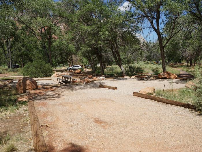
Elephant Butte Dam and Reservoir are features of the Rio Grande Project, located located on the Rio Grande, 125 miles north of El Paso, Texas. Recreation at Elephant Butte Reservoir is managed by the New Mexico State Parks under agreement with the Bureau of Reclamation. The recreation area is open year-round. Elephant Butte Dam, constructed between 1911 and 1916, was a major engineering feat in its day and created the 36,000-acre reservoir on the Rio Grande, that is 40 miles long with more than 200 miles of shoreline. The enormous concrete dam is the major feature of the Elephant Butte National Register Historic District. New Mexico State Parks operates a visitor center that contains information on the construction of the dam. Best fishing is late April through August. Entry fees are charged. There are good access roads. Nearest full-service community is Truth or Consequences, 7 miles south. The smaller town of Elephant Butte is located adjacent to the State Park. Elephant Butte Reservoir is the largest reservoir and the largest state park in New Mexico. Fishing opportunities include stripped bass, white bass, crappie, largemouth bass, walleye, and catfish. Over 200 camping and picnicking sites. There are 3 developed camps on the lake, concession-operated marinas, and stores.

