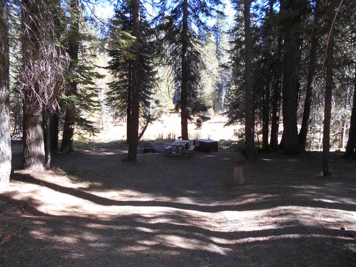
Perea Nature Trail, New Mexico Camping & Hiking

Perea Nature Trail, New Mexico Camping & Hiking

Perea Nature Trail Image Gallery

Directions

From Bernalillo, travel about 20 miles north on US 550, cross the Rio Salado bridge and turn left (west) on the paved access road just before the village of San Ysidro. A brown state highway recreation sign is posted on US 550 at the turnoff.

Phone

505-761-8700

Activities

HIKING, WILDLIFE VIEWING

Camping Reservations

Reserve your campsite at these camping areas:

New Mexico Campgrounds

Hiking Trails

Looking for nice hiking areas to take a hike? Choose from these scenic hiking trails:

New Mexico Hiking Trails

Related Link(s)

More New Mexico Recreation Areas

BLM New Mexico Flickr

BLM New Mexico Facebook Page

BLM New Mexico Twitter

Perea Nature Trail

BLM New Mexico Twitter

BLM New Mexico Facebook Page

BLM New Mexico YouTube Channel

BLM New Mexico YouTube Channel

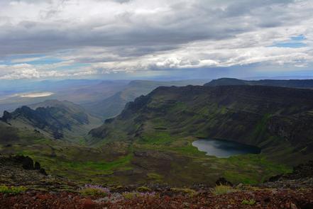
A mountain peak dominates the one-mile Perea Nature Trail — located just outside the village of San Ysidro in northwest New Mexico. The mountain highlights the Jemez Mountain Range, which is the southern start of the Rocky Mountains that extend northward to Alaska. The Perea Nature Trail offers a short, refreshing hike. If you are looking for solitude, try sitting on the park bench under the giant cottonwood along the trail. Visitors to the Perea Nature Trail may look to the southwest over the Rio Salado riverbed to view an outstanding geologic setting. Blanco Mesa, known for its unusual white surface, is used as a creative backdrop for motion pictures and photography. The high rock formations with purple hues seen in the distance are part of the Nacimiento Mountain chain, and are some of the oldest rocks in the area.

More from CampingHiking.net:

Carson National Forest, New Mexico Camping & Hiking

Activities BIKING, CAMPING, HIKING, HORSEBACK RIDING, HUNTING, OFF HIGHWAY VEHICLE, PICNICKING, WINTER SPORTS, RECREATIONAL VEHICLES Camping Reservations Reserve your campsite at these camping areas: New Mexico Campgrounds HOPEWELL LAKE CAMPGROUND

San Justo Reservoir, California Camping & Hiking

Directions Nearest main highway, California 156. Nearest community, Hollister. Phone 408-637-8218 Activities BOATING, FISHING, PICNICKING, RECREATIONAL VEHICLES Camping Reservations Reserve your campsite at these camping areas: California Campgrounds Hiking Trails

Merritt Reservoir, Nebraska Camping & Hiking

Directions Located 21 miles southwest of Valentine, Nebraska. Nearest highway is Nebraska 97. Phone 402-376-3320 Activities BOATING, CAMPING, FISHING, HUNTING, PICNICKING, RECREATIONAL VEHICLES, WATER SPORTS Camping Reservations Reserve your campsite

Rug Road, Arizona Camping & Hiking

Directions Near the east end of Aravaipa Canyon Wilderness, travel up Turkey Creek for two miles. The Rug Road leaves Turkey Creek just below the confluence of Oak Grove Canyon