Activities
AUTO TOURING, BIKING, BOATING, CAMPING, FISHING, HIKING, HORSEBACK RIDING, OFF HIGHWAY VEHICLE, PICNICKING, RECREATIONAL VEHICLES, WILDLIFE VIEWING, FIRE LOOKOUTS/CABINS OVERNIGHT, SWIMMING, HORSE CAMPING
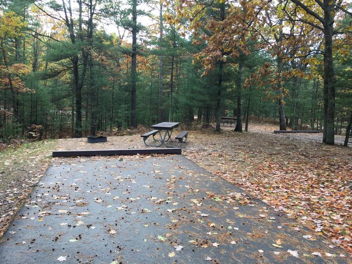
Camping Reservations
Reserve your campsite at these camping areas:
Hiking Trails
Looking for nice hiking areas to take a hike? Choose from these scenic hiking trails:
Poteau/Cold Springs Ranger District
Jessieville Winona Fourche Ranger District
Related Link(s)
More Arkansas Recreation Areas
So Much To Do & See
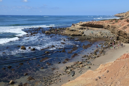
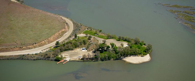
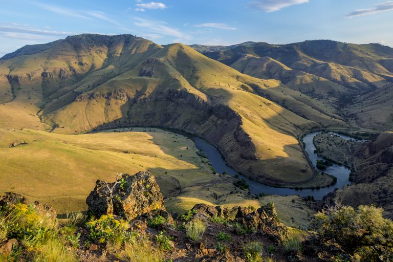
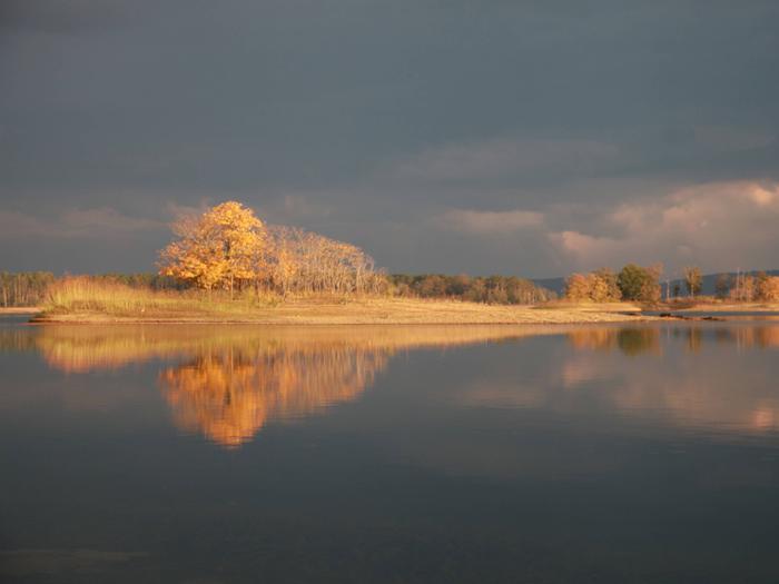
The Ouachita National Forest is located primarily in the Ouachita Mountains of Arkansas and Oklahoma. Outstanding mountain views coupled with picturesque streams, rivers, and lakes provide a unique and highly valued setting for outdoor recreation. The forest offers high quality nature related-sightseeing, scenic driving, hunting, fishing, and dispersed camping. Learn about the areas rich history at wayside exhibits along a scenic drive or experience unique botanical, mineral, and prehistoric resources featured in information and educational programs. An extensive trail system provides for all types of uses including hiking, mountain biking, horseback riding, and off-highway vehicles (OHV) riding. A variety of services can be found at developed campgrounds ranging from rustic tent pads to full-service RV hookups. Enjoy exceptional water-based recreation opportunities including fishing, non-motorized boating, and passive enjoyment of streams, rivers and lakes.
2019 recreation fees and schedule
To view a recreation area on the Recreation Map below:
- Click on the district office Forest Service emblem in your area of interest, or
- Click on “Find An Area” at right.
When viewing an area, use “+” and “-” to size map, and “Map” drop-down menu to choose style of map.